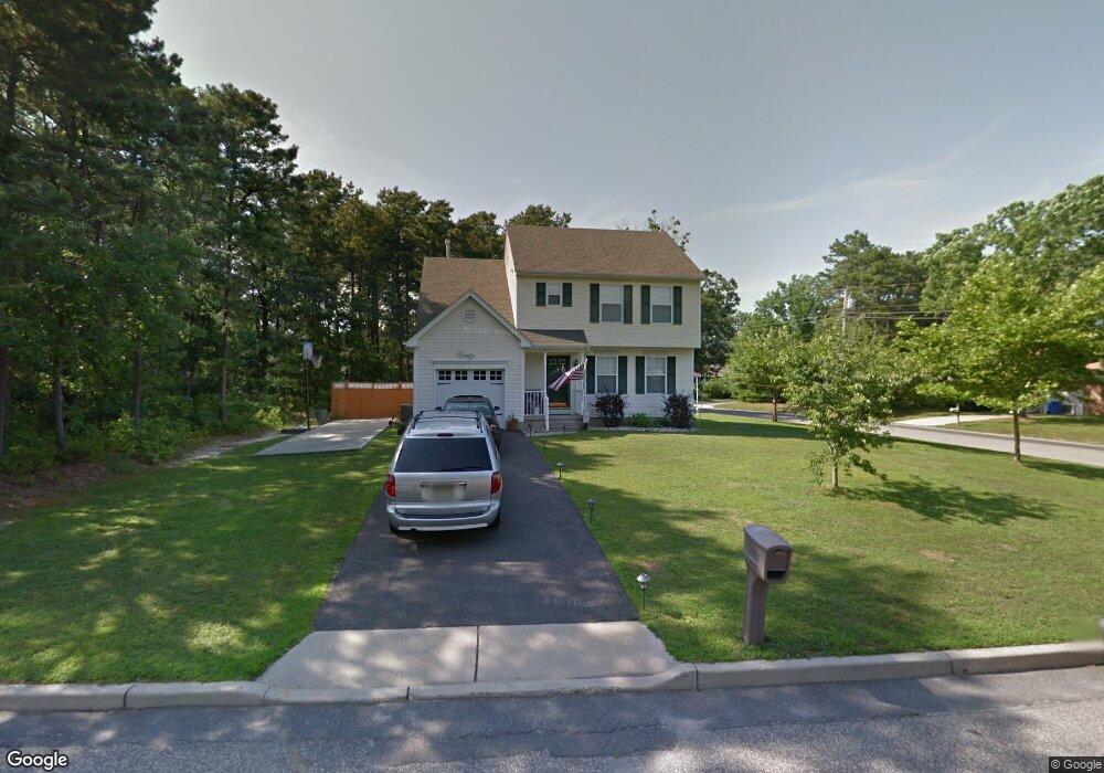
200 Bowline Rd Manahawkin, NJ 08050
Stafford NeighborhoodEstimated Value: $434,329 - $505,000
4
Beds
3
Baths
2,238
Sq Ft
$215/Sq Ft
Est. Value
About This Home
This home is located at 200 Bowline Rd, Manahawkin, NJ 08050 and is currently estimated at $481,832, approximately $215 per square foot. 200 Bowline Rd is a home located in Ocean County with nearby schools including Ocean Acres Elementary School, Oxycocus Elementary School, and McKinley Avenue Elementary School.
Ownership History
Date
Name
Owned For
Owner Type
Purchase Details
Closed on
Feb 9, 2001
Sold by
Stonehenge Building & Dev
Bought by
Houser William and Houser Michele
Current Estimated Value
Home Financials for this Owner
Home Financials are based on the most recent Mortgage that was taken out on this home.
Original Mortgage
$123,000
Outstanding Balance
$44,429
Interest Rate
7.08%
Estimated Equity
$437,403
Create a Home Valuation Report for This Property
The Home Valuation Report is an in-depth analysis detailing your home's value as well as a comparison with similar homes in the area
Home Values in the Area
Average Home Value in this Area
Purchase History
| Date | Buyer | Sale Price | Title Company |
|---|---|---|---|
| Houser William | $144,900 | -- | |
| Houser William | $144,900 | -- |
Source: Public Records
Mortgage History
| Date | Status | Borrower | Loan Amount |
|---|---|---|---|
| Open | Houser William | $123,000 | |
| Closed | Houser William | $123,000 |
Source: Public Records
Tax History Compared to Growth
Tax History
| Year | Tax Paid | Tax Assessment Tax Assessment Total Assessment is a certain percentage of the fair market value that is determined by local assessors to be the total taxable value of land and additions on the property. | Land | Improvement |
|---|---|---|---|---|
| 2025 | $5,550 | $223,500 | $64,100 | $159,400 |
| 2024 | $5,496 | $223,500 | $64,100 | $159,400 |
| 2023 | $5,261 | $223,500 | $64,100 | $159,400 |
| 2022 | $5,261 | $223,500 | $64,100 | $159,400 |
| 2021 | $5,190 | $223,500 | $64,100 | $159,400 |
| 2020 | $5,196 | $223,500 | $64,100 | $159,400 |
| 2019 | $5,123 | $223,500 | $64,100 | $159,400 |
| 2018 | $5,091 | $223,500 | $64,100 | $159,400 |
| 2017 | $5,144 | $218,600 | $64,100 | $154,500 |
| 2016 | $5,091 | $218,600 | $64,100 | $154,500 |
| 2015 | $4,912 | $218,600 | $64,100 | $154,500 |
| 2014 | $4,828 | $212,200 | $63,300 | $148,900 |
Source: Public Records
Map
Nearby Homes
- 192 Dolphin Rd
- 100 Marlin Rd
- 117 Topside Rd
- 309 Neptune Dr
- 264 Schooner Rd
- 121 Reel Ave
- 1604, 1608, 1612 W Route 72 Hwy
- 139 Mermaid Dr
- 31 Atlantis Ave
- 120 Mooring Rd
- 232 Gaff Rd
- 169 Stowaway Rd
- 137 Skipper Rd
- 216 Gaff Rd
- 220 Gaff Rd
- 224 Gaff Rd
- 1174 Treasure Ave
- 136 Longwood Dr
- 208 Steering Ln
- 2018 Breakers Dr