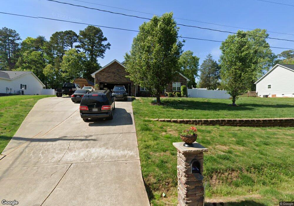
200 Brooks Dr Stanley, NC 28164
Estimated Value: $334,857 - $376,000
3
Beds
2
Baths
1,640
Sq Ft
$218/Sq Ft
Est. Value
About This Home
This home is located at 200 Brooks Dr, Stanley, NC 28164 and is currently estimated at $356,964, approximately $217 per square foot. 200 Brooks Dr is a home located in Gaston County with nearby schools including Springfield Primary School, Kiser Elementary School, and Stanley Middle School.
Ownership History
Date
Name
Owned For
Owner Type
Purchase Details
Closed on
Sep 14, 2011
Sold by
M&W Industries Inc
Bought by
Robinson Sharon H
Current Estimated Value
Home Financials for this Owner
Home Financials are based on the most recent Mortgage that was taken out on this home.
Original Mortgage
$114,180
Outstanding Balance
$78,152
Interest Rate
4.25%
Mortgage Type
FHA
Estimated Equity
$278,812
Purchase Details
Closed on
Apr 20, 2011
Sold by
U S Bank National Association
Bought by
M & W Industries Inc
Purchase Details
Closed on
Sep 28, 2010
Sold by
Kee Brian F
Bought by
U S Bank National Association
Purchase Details
Closed on
Sep 22, 2000
Sold by
Wilson Thomas J and Wilson Carolyn K
Bought by
Kee Brian F
Home Financials for this Owner
Home Financials are based on the most recent Mortgage that was taken out on this home.
Original Mortgage
$110,400
Interest Rate
8.05%
Create a Home Valuation Report for This Property
The Home Valuation Report is an in-depth analysis detailing your home's value as well as a comparison with similar homes in the area
Home Values in the Area
Average Home Value in this Area
Purchase History
| Date | Buyer | Sale Price | Title Company |
|---|---|---|---|
| Robinson Sharon H | $119,000 | None Available | |
| M & W Industries Inc | $72,500 | None Available | |
| U S Bank National Association | $100,000 | None Available | |
| Kee Brian F | $138,000 | -- |
Source: Public Records
Mortgage History
| Date | Status | Borrower | Loan Amount |
|---|---|---|---|
| Open | Robinson Sharon H | $114,180 | |
| Previous Owner | Kee Brian F | $110,400 | |
| Closed | Kee Brian F | $27,600 |
Source: Public Records
Tax History
| Year | Tax Paid | Tax Assessment Tax Assessment Total Assessment is a certain percentage of the fair market value that is determined by local assessors to be the total taxable value of land and additions on the property. | Land | Improvement |
|---|---|---|---|---|
| 2025 | $3,911 | $359,140 | $17,000 | $342,140 |
| 2024 | $3,753 | $344,640 | $17,000 | $327,640 |
| 2023 | $3,791 | $344,640 | $17,000 | $327,640 |
| 2022 | $2,783 | $206,130 | $15,000 | $191,130 |
| 2021 | $2,824 | $206,130 | $15,000 | $191,130 |
| 2019 | $2,746 | $198,970 | $15,000 | $183,970 |
| 2018 | $2,493 | $176,813 | $14,400 | $162,413 |
| 2017 | $2,272 | $176,813 | $14,400 | $162,413 |
| 2016 | $2,272 | $161,154 | $0 | $0 |
| 2014 | $2,155 | $152,840 | $18,000 | $134,840 |
Source: Public Records
Map
Nearby Homes
- 116 Brooks Dr
- 105 Wingate Dr
- 102 Wingate Dr
- 112 Lineberger St
- 111 Lake Rd
- 144 Walking Horse Run
- 138 Walking Horse Run
- 5023 Dogwood Ln
- 118 Ethel Dr
- 112 Boyd Dr
- 520 Summerow Rd
- 101 Sherry Dr
- 307 W Park Dr
- 314 Legion Dr
- 816 Joseph Antoon Cir
- 5005 Oconee Dr
- 5009 Oconee Dr
- 310 S Main St
- Lot 1 Derr St
- 926 Mauney Rd
Your Personal Tour Guide
Ask me questions while you tour the home.