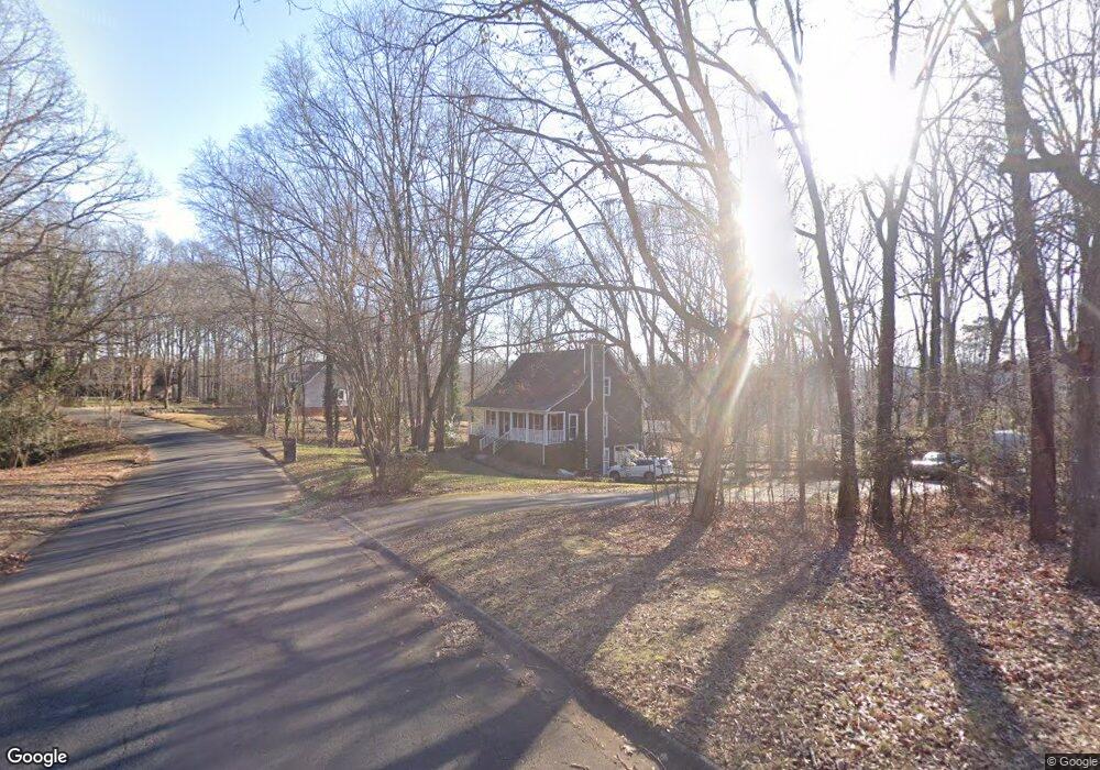
200 Brookside Dr Fort Mill, SC 29715
Springfield NeighborhoodEstimated Value: $385,000 - $407,426
About This Home
This home is located at 200 Brookside Dr, Fort Mill, SC 29715 and is currently estimated at $397,357, approximately $176 per square foot. 200 Brookside Dr is a home located in York County with nearby schools including Fort Mill Elementary School, Fort Mill Middle School, and Nation Ford High School.
Ownership History
We collect this data history from publicly available records. To have your information removed, we recommend requesting removal directly through your county’s website.
Purchase Details
Home Financials for this Owner
Home Financials are based on the most recent Mortgage that was taken out on this home.Purchase Details
Home Financials for this Owner
Home Financials are based on the most recent Mortgage that was taken out on this home.Purchase Details
Home Financials for this Owner
Home Financials are based on the most recent Mortgage that was taken out on this home.Purchase Details
Home Values in the Area
Average Home Value in this Area
Purchase History
We collect this data history from publicly available records. To have your information removed, we recommend requesting removal directly through your county’s website.
| Date | Buyer | Sale Price | Title Company |
|---|---|---|---|
| -- | None Available | ||
| $186,500 | -- | ||
| -- | None Available | ||
| $30,000 | -- |
Mortgage History
We collect this data history from publicly available records. To have your information removed, we recommend requesting removal directly through your county’s website.
| Date | Status | Borrower | Loan Amount |
|---|---|---|---|
| Open | $69,500 | ||
| Open | $180,905 | ||
| Previous Owner | $90,500 |
Tax History
We collect this data history from publicly available records. To have your information removed, we recommend requesting removal directly through your county’s website.
| Year | Tax Paid | Tax Assessment Tax Assessment Total Assessment is a certain percentage of the fair market value that is determined by local assessors to be the total taxable value of land and additions on the property. | Land | Improvement |
|---|---|---|---|---|
| 2025 | $1,440 | $8,199 | $1,332 | $6,867 |
| 2024 | $1,258 | $7,130 | $2,218 | $4,912 |
| 2023 | $1,220 | $7,130 | $2,218 | $4,912 |
| 2022 | $1,209 | $7,130 | $2,218 | $4,912 |
| 2021 | -- | $7,130 | $2,218 | $4,912 |
| 2020 | $1,298 | $7,130 | $0 | $0 |
| 2019 | $4,132 | $9,300 | $0 | $0 |
| 2018 | $1,369 | $6,200 | $0 | $0 |
| 2017 | $1,292 | $6,200 | $0 | $0 |
| 2016 | $1,275 | $6,200 | $0 | $0 |
| 2014 | $901 | $6,200 | $1,600 | $4,600 |
| 2013 | $901 | $6,320 | $1,600 | $4,720 |
Map
- 204 Swamp Fox Dr
- 104 Pinetree Dr
- 121 Pelham Ln
- 107 Fox Run Dr
- 001 Roanoke Dr
- 000 Roanoke Dr
- 002 Roanoke Dr
- 323 Swamp Fox Dr
- 3605 Jumprock Rd
- 328 Swamp Fox Dr
- 9786 Verdun Ct
- 122 Foxwood Village Dr Unit 6
- 1169 Regions Blvd
- 4008 Wild Turkey Ln
- 5018 Nighthawk Dr
- 5067 Nighthawk Dr
- 9762 Verdun Ct
- 5012 Nighthawk Dr
- 3534 Jumprock Rd
- 1134 Regions Blvd
- 202 Brookside Dr
- 120 Brookside Dr
- 200 Swamp Fox Dr
- 204 Brookside Dr
- 201 Brookside Dr
- 202 Swamp Fox Dr
- 116 Brookside Dr
- 201 Swamp Fox Dr
- 206 Brookside Dr
- 203 Brookside Dr
- 203 Swamp Fox Dr
- 112 Brookside Dr
- 219 Pelham Ln
- 205 Brookside Dr
- 208 Brookside Dr
- 205 Swamp Fox Dr
- 210 Brookside Dr
- 217 Pelham Ln
- 206 Swamp Fox Dr
- 110 Brookside Dr
Ask me questions while you tour the home.