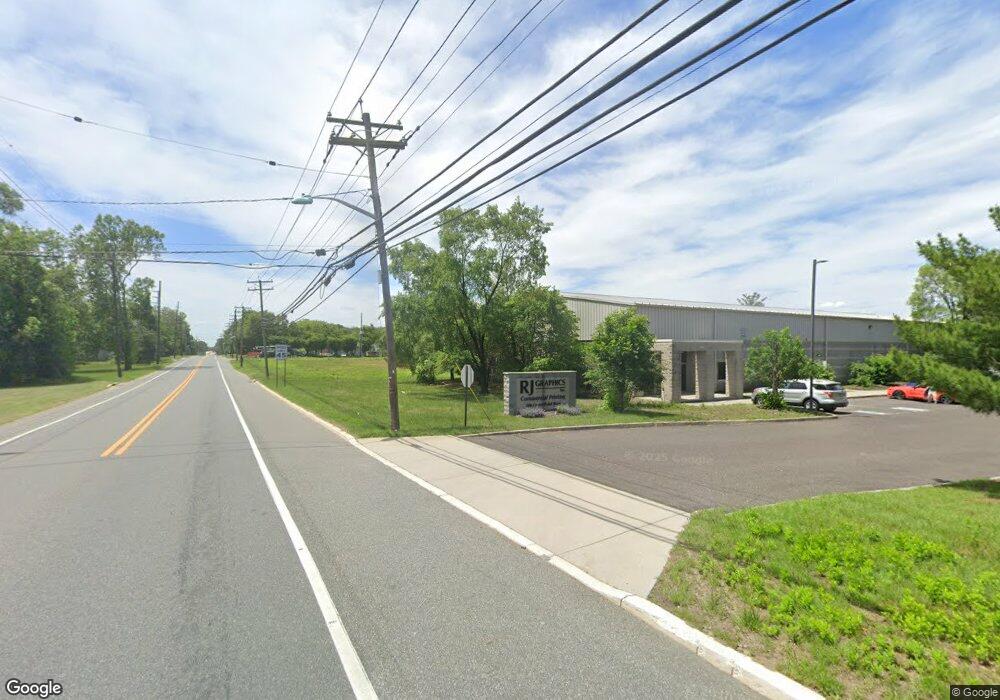
200 Crown Point Rd West Deptford, NJ 08086
West Deptford Township NeighborhoodEstimated Value: $246,883 - $267,000
--
Bed
--
Bath
--
Sq Ft
2.01
Acres
About This Home
This home is located at 200 Crown Point Rd, West Deptford, NJ 08086 and is currently estimated at $256,942. 200 Crown Point Rd is a home located in Gloucester County with nearby schools including Red Bank Elementary School, Green-Fields Elementary School, and Oakview Elementary School.
Ownership History
Date
Name
Owned For
Owner Type
Purchase Details
Closed on
Apr 15, 2016
Sold by
Iannelli Robert C and Iannelli Rita
Bought by
Nickel Jacob and Nickel Patsi
Current Estimated Value
Purchase Details
Closed on
Nov 18, 2009
Sold by
R J Graphics Inc
Bought by
Iannelli Robert C
Purchase Details
Closed on
Sep 19, 2002
Sold by
R J Graphics Inc
Bought by
Crown Point Land Corp
Home Financials for this Owner
Home Financials are based on the most recent Mortgage that was taken out on this home.
Original Mortgage
$1,000,000
Interest Rate
6.27%
Purchase Details
Closed on
Dec 13, 2001
Sold by
R J Graphics Inc
Bought by
R J Graphics Inc
Create a Home Valuation Report for This Property
The Home Valuation Report is an in-depth analysis detailing your home's value as well as a comparison with similar homes in the area
Home Values in the Area
Average Home Value in this Area
Purchase History
| Date | Buyer | Sale Price | Title Company |
|---|---|---|---|
| Nickel Jacob | $132,500 | None Available | |
| Nickel Jacob | -- | New Jersey Land Title | |
| Iannelli Robert C | -- | None Available | |
| Crown Point Land Corp | $52,733 | -- | |
| R J Graphics Inc | -- | -- |
Source: Public Records
Mortgage History
| Date | Status | Borrower | Loan Amount |
|---|---|---|---|
| Previous Owner | Crown Point Land Corp | $1,000,000 |
Source: Public Records
Tax History Compared to Growth
Tax History
| Year | Tax Paid | Tax Assessment Tax Assessment Total Assessment is a certain percentage of the fair market value that is determined by local assessors to be the total taxable value of land and additions on the property. | Land | Improvement |
|---|---|---|---|---|
| 2025 | $5,266 | $150,800 | $150,800 | -- |
| 2024 | $5,198 | $150,800 | $150,800 | $0 |
| 2023 | $5,198 | $150,800 | $150,800 | $0 |
| 2022 | $5,174 | $150,800 | $150,800 | $0 |
| 2021 | $5,152 | $150,800 | $150,800 | $0 |
| 2020 | $5,144 | $150,800 | $150,800 | $0 |
| 2019 | $5,001 | $150,800 | $150,800 | $0 |
| 2018 | $4,865 | $150,800 | $150,800 | $0 |
| 2017 | $4,752 | $150,800 | $150,800 | $0 |
| 2016 | $4,619 | $150,800 | $150,800 | $0 |
| 2015 | $4,400 | $150,800 | $150,800 | $0 |
| 2014 | $4,182 | $150,800 | $150,800 | $0 |
Source: Public Records
Map
Nearby Homes
- 247 Crown Point Rd
- 97 Church St
- 232 Snowy Egret Ln
- 253 Snowy Egret Ln
- 157 Robin Dr
- 433 Crown Point Rd
- 439 Crown Point Rd
- 125 Robin Dr
- 47 Pelican Place Unit 47
- 67 Pelican Place
- 64 Tilden Rd
- 124 Brent Ct
- 10 Kennedy Ct
- 740 Carter Hill Dr
- 121 Cape May Ave
- 640 Worcester Dr
- 400 Audubon Ave
- 863 Doncaster Dr
- 107 Audubon Ave
- 536 Saxon Dr