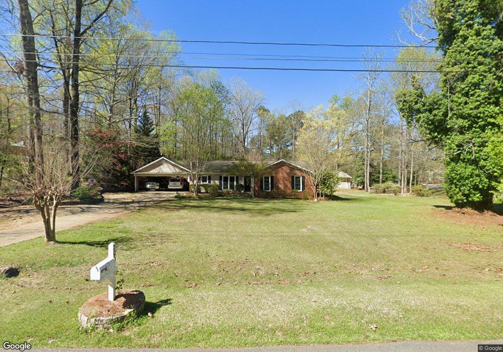
200 Cumberland Dr Lagrange, GA 30240
Estimated Value: $232,000 - $251,000
3
Beds
2
Baths
1,457
Sq Ft
$165/Sq Ft
Est. Value
About This Home
This home is located at 200 Cumberland Dr, Lagrange, GA 30240 and is currently estimated at $240,083, approximately $164 per square foot. 200 Cumberland Dr is a home located in Troup County with nearby schools including Long Cane Elementary School, Berta Weathersbee Elementary School, and Whitesville Road Elementary School.
Ownership History
Date
Name
Owned For
Owner Type
Purchase Details
Closed on
Jul 24, 1992
Sold by
Lyons Steven B and Lyons Linda P
Bought by
Meadors Kevin and Meadors Natasha
Current Estimated Value
Purchase Details
Closed on
Jun 1, 1985
Sold by
Jerry Averett Cont
Bought by
Lyons Steven B and Lyons Linda P
Purchase Details
Closed on
Nov 29, 1984
Sold by
Joan D Moore
Bought by
Jerry Averett Cont
Purchase Details
Closed on
Jun 21, 1977
Bought by
Joan D Moore
Create a Home Valuation Report for This Property
The Home Valuation Report is an in-depth analysis detailing your home's value as well as a comparison with similar homes in the area
Purchase History
| Date | Buyer | Sale Price | Title Company |
|---|---|---|---|
| Meadors Kevin | $67,500 | -- | |
| Lyons Steven B | $61,500 | -- | |
| Jerry Averett Cont | $11,000 | -- | |
| Joan D Moore | -- | -- |
Source: Public Records
Tax History
| Year | Tax Paid | Tax Assessment Tax Assessment Total Assessment is a certain percentage of the fair market value that is determined by local assessors to be the total taxable value of land and additions on the property. | Land | Improvement |
|---|---|---|---|---|
| 2025 | $2,223 | $87,840 | $14,000 | $73,840 |
| 2024 | $2,008 | $75,600 | $14,000 | $61,600 |
| 2023 | $1,936 | $72,960 | $10,000 | $62,960 |
| 2022 | $1,887 | $67,600 | $8,000 | $59,600 |
| 2021 | $1,757 | $58,240 | $8,000 | $50,240 |
| 2020 | $1,757 | $58,240 | $8,000 | $50,240 |
| 2019 | $1,609 | $53,360 | $6,000 | $47,360 |
| 2018 | $1,612 | $53,440 | $6,080 | $47,360 |
| 2017 | $1,293 | $42,880 | $6,080 | $36,800 |
| 2016 | $1,298 | $43,042 | $6,080 | $36,962 |
| 2015 | $1,073 | $35,514 | $6,080 | $29,434 |
| 2014 | $1,028 | $33,966 | $6,080 | $27,886 |
| 2013 | -- | $35,221 | $6,080 | $29,141 |
Source: Public Records
Map
Nearby Homes
- 474 Newton Rd
- 101 Ivy Springs Dr
- 311 Cumberland Dr
- 113 Colonial Ct Unit 100
- 119 Plymouth Dr
- 104 Hidden Springs Dr
- 114 Riverbluff Dr
- 106 Landings Way
- 104 Landings Way
- 102 Landings Way
- 201 Lakeview Ct
- 109 Riverbluff Dr
- 101 Riverbluff Dr
- 135 Planters Ridge Dr
- 104 Bridlewood Dr
- 640 Hudson Rd
- 266 Glass Bridge Rd
- 3835 W Point Rd
- 213 Linda Ln
- 124 Foxdale Dr
- 202 Cumberland Dr
- 485 Newton Rd
- 201 Cumberland Dr
- 204 Cumberland Dr
- 203 Cumberland Dr
- 460 Newton Rd
- 205 Cumberland Dr
- 206 Cumberland Dr
- 519 Newton Rd
- 442 Newton Rd
- 207 Cumberland Dr
- 11 River Point Dr
- 100 Timber Ridge Dr
- 16 River Point Dr
- 101 Wilson Creek Dr
- 13 River Point Dr
- 108 Timber Ridge Dr
- 208 Cumberland Dr
- 209 Cumberland Dr
- 539 Newton Rd
Your Personal Tour Guide
Ask me questions while you tour the home.