200 Daventry Dr Debary, FL 32713
Estimated Value: $471,000 - $510,000
4
Beds
4
Baths
2,800
Sq Ft
$177/Sq Ft
Est. Value
About This Home
This home is located at 200 Daventry Dr, Debary, FL 32713 and is currently estimated at $494,455, approximately $176 per square foot. 200 Daventry Dr is a home located in Volusia County with nearby schools including Manatee Cove Elementary School, River Springs Middle School, and University High School.
Ownership History
Date
Name
Owned For
Owner Type
Purchase Details
Closed on
Nov 4, 2021
Sold by
Kammer Pearl E
Bought by
Kammer Michael J
Current Estimated Value
Purchase Details
Closed on
Nov 23, 2005
Sold by
Morrison Homes Inc
Bought by
Kammer Michael J and Kammer Pearl E
Home Financials for this Owner
Home Financials are based on the most recent Mortgage that was taken out on this home.
Original Mortgage
$213,600
Outstanding Balance
$114,933
Interest Rate
6.04%
Mortgage Type
Fannie Mae Freddie Mac
Estimated Equity
$379,522
Create a Home Valuation Report for This Property
The Home Valuation Report is an in-depth analysis detailing your home's value as well as a comparison with similar homes in the area
Home Values in the Area
Average Home Value in this Area
Purchase History
| Date | Buyer | Sale Price | Title Company |
|---|---|---|---|
| Kammer Michael J | -- | Attorney | |
| Kammer Michael J | $267,005 | Universal Land Title |
Source: Public Records
Mortgage History
| Date | Status | Borrower | Loan Amount |
|---|---|---|---|
| Open | Kammer Michael J | $213,600 |
Source: Public Records
Tax History
| Year | Tax Paid | Tax Assessment Tax Assessment Total Assessment is a certain percentage of the fair market value that is determined by local assessors to be the total taxable value of land and additions on the property. | Land | Improvement |
|---|---|---|---|---|
| 2026 | $3,193 | $222,286 | -- | -- |
| 2025 | $3,193 | $216,443 | -- | -- |
| 2024 | $2,889 | $210,345 | -- | -- |
| 2023 | $2,889 | $204,218 | $0 | $0 |
| 2022 | $2,821 | $198,270 | $0 | $0 |
| 2021 | $2,908 | $192,495 | $0 | $0 |
| 2020 | $2,886 | $189,837 | $0 | $0 |
| 2019 | $3,010 | $185,569 | $0 | $0 |
| 2018 | $2,909 | $182,109 | $0 | $0 |
| 2017 | $2,964 | $178,363 | $0 | $0 |
| 2016 | $2,944 | $174,694 | $0 | $0 |
| 2015 | $3,012 | $173,480 | $0 | $0 |
| 2014 | $2,931 | $172,103 | $0 | $0 |
Source: Public Records
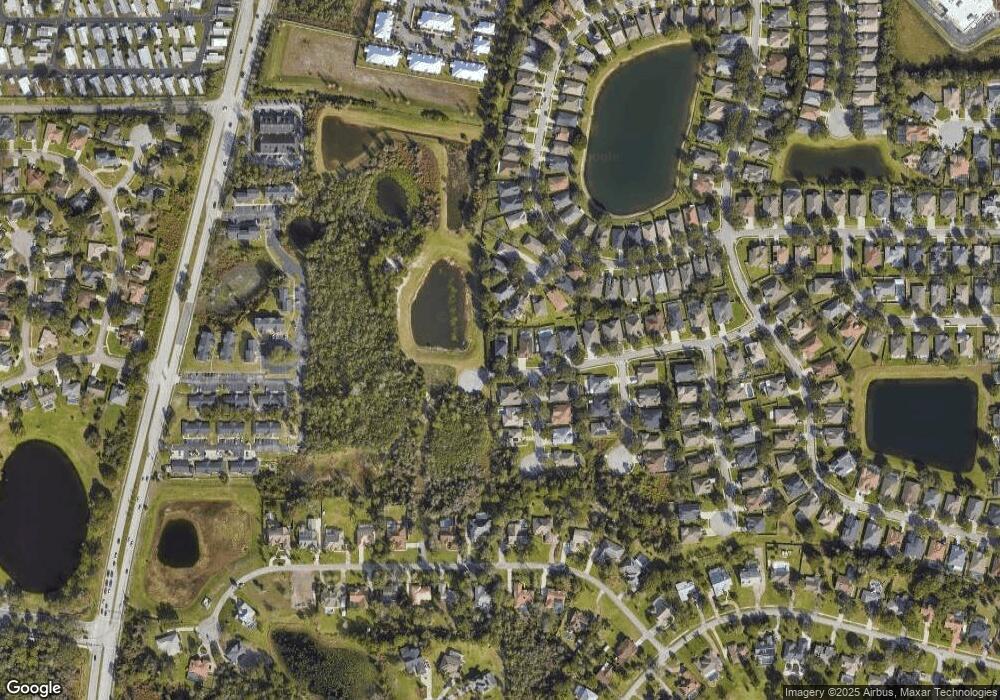
Map
Nearby Homes
- 230 Brassington Dr
- 341 Glen Club Dr
- 19 Ramada Dr
- 21 Fleetwood Ave
- 39 Ramada Dr
- 321 Burchington Dr
- 37 Fleetwood Ave
- 15 Ramada Dr
- 67 Statler Ave
- 53 Buddy Ave
- 481 Woodford Dr Unit IIIA
- 330 Glen Club Dr
- 500 Blossomwood Dr
- 486 Woodford Dr
- 97 Fleetwood Ave
- 77 Plantation Ave
- 458 Woodford Dr
- 105 Clairmont Ave
- 165 Tower Rd
- 90 Clairmont Ave
- 204 Daventry Dr
- 601 Ashwell Ct
- 208 Daventry Dr
- 516 Hillshire Dr
- 600 Ashwell Ct
- 605 Ashwell Ct
- 212 Daventry Dr
- 512 Hillshire Dr
- 609 Ashwell Ct
- 517 Hillshire Dr
- 604 Ashwell Ct
- 613 Ashwell Ct
- 216 Daventry Dr
- 513 Hillshire Dr
- 508 Hillshire Dr
- 516 Fern Lake Terrace
- 617 Ashwell Ct
- 218 Brassington Dr
- 612 Ashwell Ct
- 509 Hillshire Dr
Your Personal Tour Guide
Ask me questions while you tour the home.