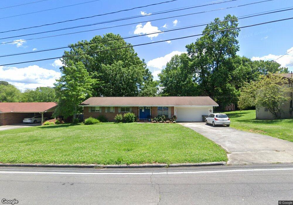
200 Davidson Dr Dalton, GA 30720
Estimated Value: $274,654 - $335,000
3
Beds
2
Baths
2,286
Sq Ft
$138/Sq Ft
Est. Value
About This Home
This home is located at 200 Davidson Dr, Dalton, GA 30720 and is currently estimated at $315,164, approximately $137 per square foot. 200 Davidson Dr is a home located in Whitfield County with nearby schools including City Park Elementary School, Dalton High School, and Rock Hill School.
Ownership History
Date
Name
Owned For
Owner Type
Purchase Details
Closed on
Apr 2, 2008
Sold by
Not Provided
Bought by
Pulliam Elizabeth Carlisle and Pulliam Calvin
Current Estimated Value
Home Financials for this Owner
Home Financials are based on the most recent Mortgage that was taken out on this home.
Original Mortgage
$149,458
Outstanding Balance
$92,327
Interest Rate
5.84%
Mortgage Type
FHA
Estimated Equity
$222,837
Purchase Details
Closed on
Jan 1, 1999
Bought by
Pulliam Elizabeth Carlisle
Create a Home Valuation Report for This Property
The Home Valuation Report is an in-depth analysis detailing your home's value as well as a comparison with similar homes in the area
Purchase History
| Date | Buyer | Sale Price | Title Company |
|---|---|---|---|
| Pulliam Elizabeth Carlisle | -- | -- | |
| Pulliam Elizabeth Carlisle | -- | -- |
Source: Public Records
Mortgage History
| Date | Status | Borrower | Loan Amount |
|---|---|---|---|
| Open | Pulliam Elizabeth Carlisle | $149,458 |
Source: Public Records
Tax History
| Year | Tax Paid | Tax Assessment Tax Assessment Total Assessment is a certain percentage of the fair market value that is determined by local assessors to be the total taxable value of land and additions on the property. | Land | Improvement |
|---|---|---|---|---|
| 2025 | $2,461 | $99,812 | $14,600 | $85,212 |
| 2024 | $2,461 | $99,812 | $14,600 | $85,212 |
| 2023 | $2,778 | $82,833 | $14,360 | $68,473 |
| 2022 | $1,623 | $54,516 | $7,400 | $47,116 |
| 2021 | $1,626 | $54,516 | $7,400 | $47,116 |
| 2020 | $1,677 | $54,516 | $7,400 | $47,116 |
| 2019 | $1,725 | $54,516 | $7,400 | $47,116 |
| 2018 | $1,726 | $54,008 | $7,400 | $46,608 |
| 2017 | $1,824 | $58,669 | $7,400 | $51,269 |
| 2016 | $1,689 | $54,715 | $8,085 | $46,630 |
| 2014 | $1,413 | $49,740 | $7,350 | $42,390 |
| 2013 | -- | $49,740 | $7,350 | $42,390 |
Source: Public Records
Map
Nearby Homes
- 503 Leighton's Landing
- 1103 Manly St
- 432 Castle Rd
- 1104 W Crawford St
- 451 Castle Rd
- 1502 Mockingbird Place
- 503 Loveman Ln
- 00 Shugart Rd
- 504 W Boundary St
- 1946 Tibbs Terrace
- 129 Lisa Ln
- 1833 Woodvalley Dr
- 809 W Crawford St
- 708 Clark St
- 902 Cascade Dr Unit 5
- 1202 Covie Dr
- 209 April St
- 727 W Tyler St
- 700 Vernon Ave
- 303 Smith St
- 126 Davidson Dr
- 202 Davidson Dr
- 127 Harvard Dr
- 139 Harvard Dr
- 135 Harvard Dr
- 129 Harvard St
- 129 Harvard Dr
- 141 Harvard Dr
- 204 Davidson Dr
- 124 Davidson Dr
- 201 Davidson Dr
- 123 Davidson Dr
- 203 Davidson Dr
- 143 Harvard Dr
- 133 Harvard Dr
- 206 Davidson Dr
- 122 Davidson Dr
- 205 Davidson Dr
- 213 Harvard Dr
- 131 Harvard Dr
Your Personal Tour Guide
Ask me questions while you tour the home.