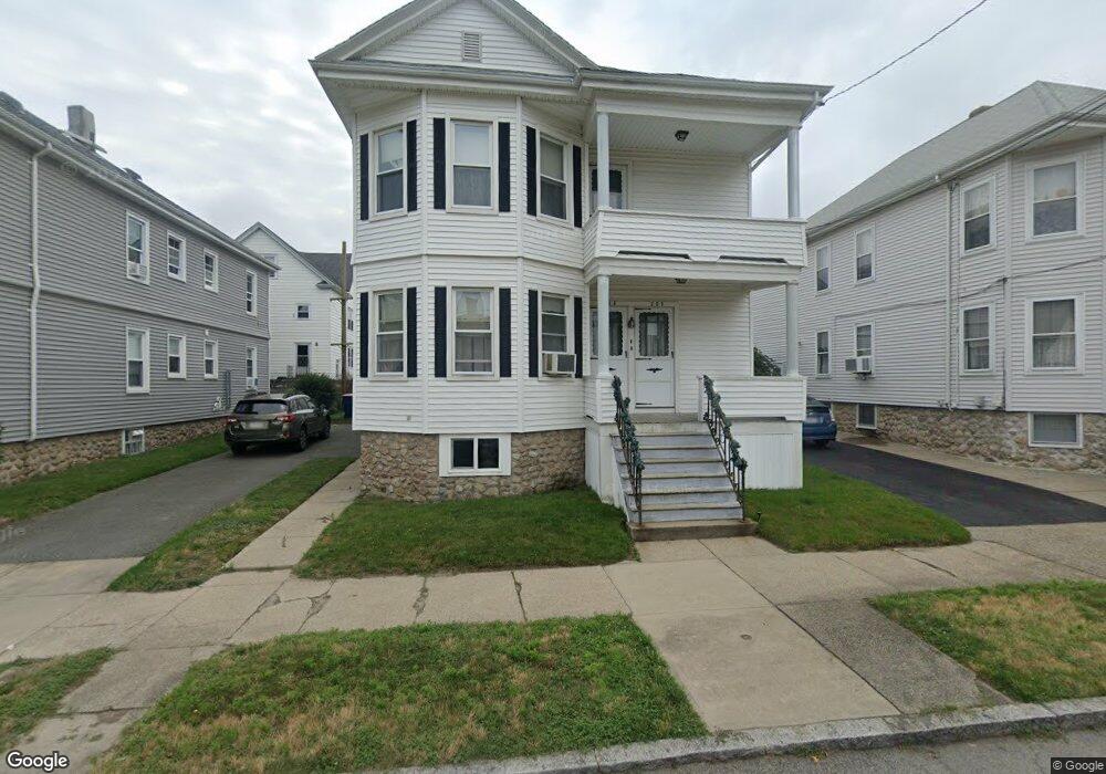
200 Dawson St Unit 202 New Bedford, MA 02745
Acushnet Station NeighborhoodEstimated Value: $513,140 - $579,000
6
Beds
2
Baths
2,464
Sq Ft
$223/Sq Ft
Est. Value
About This Home
This home is located at 200 Dawson St Unit 202, New Bedford, MA 02745 and is currently estimated at $548,785, approximately $222 per square foot. 200 Dawson St Unit 202 is a home located in Bristol County with nearby schools including Jireh Swift School, Normandin Middle School, and New Bedford High School.
Ownership History
Date
Name
Owned For
Owner Type
Purchase Details
Closed on
Jul 7, 1993
Sold by
Riquinha John M and Riquinha Susan M
Bought by
Borden Deborah L and Rua Maria H
Current Estimated Value
Home Financials for this Owner
Home Financials are based on the most recent Mortgage that was taken out on this home.
Original Mortgage
$108,000
Interest Rate
7.43%
Mortgage Type
Purchase Money Mortgage
Purchase Details
Closed on
Apr 30, 1992
Sold by
Riccardi Michael A and Spillane Evelyn M
Bought by
Riquinha John M and Riquinha Susan M
Home Financials for this Owner
Home Financials are based on the most recent Mortgage that was taken out on this home.
Original Mortgage
$77,000
Interest Rate
8.96%
Mortgage Type
Purchase Money Mortgage
Create a Home Valuation Report for This Property
The Home Valuation Report is an in-depth analysis detailing your home's value as well as a comparison with similar homes in the area
Home Values in the Area
Average Home Value in this Area
Purchase History
| Date | Buyer | Sale Price | Title Company |
|---|---|---|---|
| Borden Deborah L | $127,000 | -- | |
| Borden Deborah L | $127,000 | -- | |
| Riquinha John M | $110,000 | -- | |
| Riquinha John M | $110,000 | -- |
Source: Public Records
Mortgage History
| Date | Status | Borrower | Loan Amount |
|---|---|---|---|
| Open | Riquinha John M | $97,000 | |
| Closed | Riquinha John M | $108,000 | |
| Previous Owner | Riquinha John M | $77,000 |
Source: Public Records
Tax History Compared to Growth
Tax History
| Year | Tax Paid | Tax Assessment Tax Assessment Total Assessment is a certain percentage of the fair market value that is determined by local assessors to be the total taxable value of land and additions on the property. | Land | Improvement |
|---|---|---|---|---|
| 2025 | $5,542 | $490,000 | $112,700 | $377,300 |
| 2024 | $4,964 | $413,700 | $112,700 | $301,000 |
| 2023 | $4,700 | $328,900 | $90,500 | $238,400 |
| 2022 | $4,256 | $273,900 | $86,200 | $187,700 |
| 2021 | $4,270 | $273,900 | $86,200 | $187,700 |
| 2020 | $4,106 | $254,100 | $86,200 | $167,900 |
| 2019 | $4,014 | $243,700 | $86,200 | $157,500 |
| 2018 | $3,768 | $226,600 | $86,200 | $140,400 |
| 2017 | $3,351 | $200,800 | $82,800 | $118,000 |
| 2016 | $3,171 | $192,300 | $79,500 | $112,800 |
| 2015 | $2,964 | $188,400 | $79,500 | $108,900 |
| 2014 | $2,815 | $185,700 | $76,200 | $109,500 |
Source: Public Records
Map
Nearby Homes
- 196 Dawson St Unit 198
- 208 Dawson St Unit 210
- 201 Harwich St Unit 203
- 201-203 Harwich St
- 197 Harwich St Unit 199
- 214 Dawson St
- 192 Dawson St Unit 194
- 191 Harwich St Unit 193
- 209 Harwich St Unit 211
- 207 Dawson St
- 209 Dawson St Unit 211
- 188 Dawson St Unit 190
- 218 Dawson St
- 187 Harwich St
- 217 Dawson St
- 316 Conduit St Unit 318
- 318 Conduit St
- 318 Conduit St Unit 2
- 191 Dawson St Unit 193
- 336 Conduit St