200 Dennis Hill Rd Ulysses, PA 16948
Estimated Value: $90,000 - $273,000
--
Bed
--
Bath
1,008
Sq Ft
$175/Sq Ft
Est. Value
About This Home
This home is located at 200 Dennis Hill Rd, Ulysses, PA 16948 and is currently estimated at $176,048, approximately $174 per square foot. 200 Dennis Hill Rd is a home located in Potter County with nearby schools including Northern Potter Children's School and Northern Potter Junior/Senior High School.
Ownership History
Date
Name
Owned For
Owner Type
Purchase Details
Closed on
Aug 5, 2024
Sold by
Lampman Stacey E and Lampman Janise
Bought by
Lampman Stacey E and Lampman Janise
Current Estimated Value
Purchase Details
Closed on
Sep 28, 2005
Create a Home Valuation Report for This Property
The Home Valuation Report is an in-depth analysis detailing your home's value as well as a comparison with similar homes in the area
Home Values in the Area
Average Home Value in this Area
Purchase History
| Date | Buyer | Sale Price | Title Company |
|---|---|---|---|
| Lampman Stacey E | -- | None Listed On Document | |
| -- | -- | None Available |
Source: Public Records
Tax History Compared to Growth
Tax History
| Year | Tax Paid | Tax Assessment Tax Assessment Total Assessment is a certain percentage of the fair market value that is determined by local assessors to be the total taxable value of land and additions on the property. | Land | Improvement |
|---|---|---|---|---|
| 2025 | $3,426 | $45,320 | $3,320 | $42,000 |
| 2024 | $3,043 | $45,320 | $3,320 | $42,000 |
| 2023 | $2,854 | $45,320 | $3,320 | $42,000 |
| 2022 | $2,760 | $45,320 | $3,320 | $42,000 |
| 2021 | $2,760 | $45,320 | $3,320 | $42,000 |
| 2020 | $2,717 | $45,320 | $3,320 | $42,000 |
| 2019 | $2,667 | $45,320 | $3,320 | $42,000 |
| 2018 | $2,573 | $45,320 | $3,320 | $42,000 |
| 2017 | -- | $45,320 | $3,320 | $42,000 |
| 2016 | $2,384 | $45,320 | $3,320 | $42,000 |
| 2015 | -- | $45,320 | $3,320 | $42,000 |
| 2012 | -- | $45,320 | $3,320 | $42,000 |
Source: Public Records
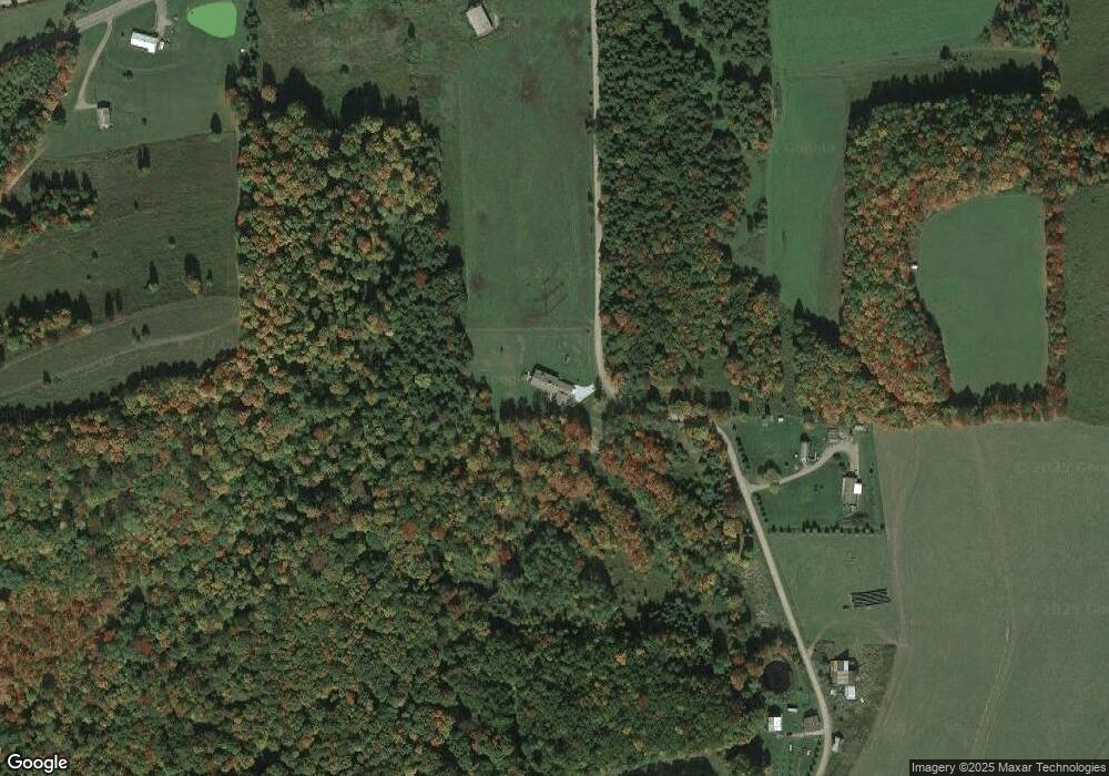
Map
Nearby Homes
- 1201 Johnson Rd
- 1354 White Knoll Rd
- 301 Brown Rd
- 350 Brown Rd
- 401 Woodward Rd
- 99 South St
- 213 2nd St
- 250 Whitman Rd
- 0 Hamilton Rd
- 0 Swartz Rd Unit LotWP001 19392979
- 0 Swartz Rd Unit 11244668
- 381 Northern Potter Rd
- 300 Simonds Hill Rd
- 2561 State Route 49 E
- 2955 Genesee Mills Rd
- 00 Bingham Center Rd
- 0 Bingham Center Rd
- 000 Bingham Center Rd
- 1021 Lewis Rd
- 377 Bingham Center Rd
- 251 Dennis Hill Rd
- 300 Dennis Hill Rd
- 5684 State Route 49 W
- 101 Dennis Hill Rd
- 318 Dennis Hill Rd
- 5834 State Route 49
- 5836 State Route 49 W
- 5836 State Route 49 W
- 200 Johnson Rd
- 250 Johnson Rd
- 300 Johnson Rd
- 5682 State Route 49 W
- 5983 State Route 49 W
- 450 Johnson Rd
- 5665 State Route 49 W
- 150 Church St
- 5612 State Route 49 W
- 5671 State Route 49 W
- 5608 State Route 49 W
- 5609 State Route 49 W