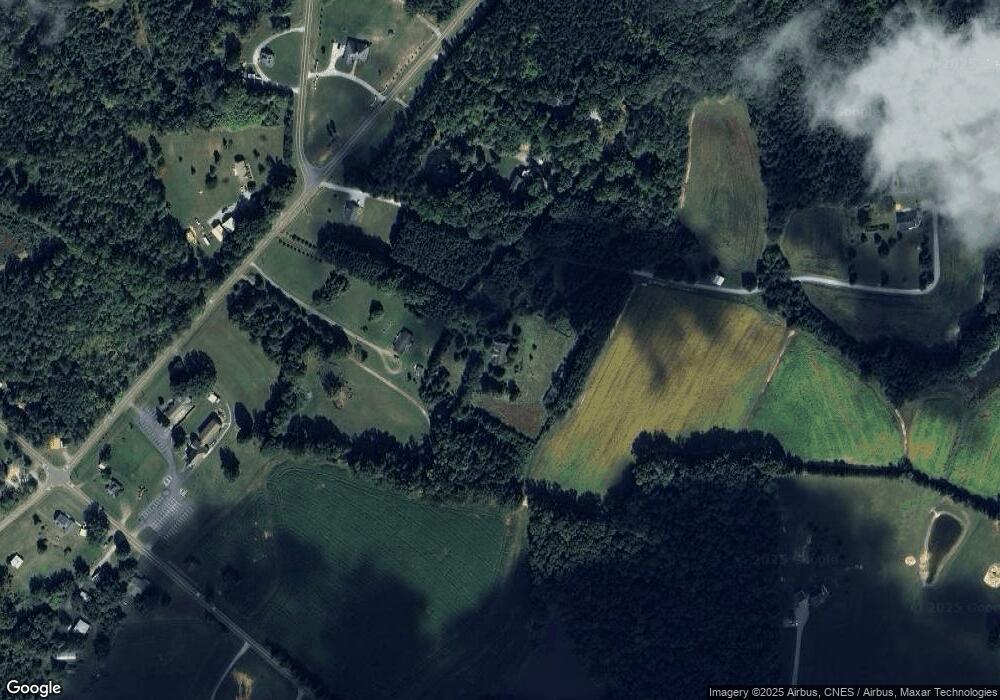
200 Dirgie Mine Rd Roxboro, NC 27574
Estimated Value: $137,000 - $317,000
3
Beds
2
Baths
1,915
Sq Ft
$117/Sq Ft
Est. Value
About This Home
This home is located at 200 Dirgie Mine Rd, Roxboro, NC 27574 and is currently estimated at $224,774, approximately $117 per square foot. 200 Dirgie Mine Rd is a home located in Person County with nearby schools including Person High School.
Ownership History
Date
Name
Owned For
Owner Type
Purchase Details
Closed on
Mar 22, 2012
Sold by
Assets Recovery Center Investments Llc
Bought by
Black Nathan A and Black Jessica
Current Estimated Value
Purchase Details
Closed on
Jan 28, 2011
Sold by
Bonco Popular North America
Bought by
Assets Recovery Center Investments Llc
Purchase Details
Closed on
Nov 12, 2010
Sold by
Aleman Ricardo Aguilar and Aleman Kelley Aguilar
Bought by
Banco Popular North America
Purchase Details
Closed on
Aug 14, 2005
Sold by
Household Realty Corp
Bought by
Aguilar Aleman Ricardo and Aguilar Aleman Kelley
Home Financials for this Owner
Home Financials are based on the most recent Mortgage that was taken out on this home.
Original Mortgage
$110,865
Interest Rate
5.72%
Mortgage Type
New Conventional
Purchase Details
Closed on
Mar 4, 2005
Sold by
Montague Thomas F and Montague Bonnie G
Bought by
Household Realty Corp
Create a Home Valuation Report for This Property
The Home Valuation Report is an in-depth analysis detailing your home's value as well as a comparison with similar homes in the area
Home Values in the Area
Average Home Value in this Area
Purchase History
| Date | Buyer | Sale Price | Title Company |
|---|---|---|---|
| Black Nathan A | $30,000 | None Available | |
| Assets Recovery Center Investments Llc | $46,500 | -- | |
| Banco Popular North America | $100,600 | -- | |
| Aguilar Aleman Ricardo | $117,000 | -- | |
| Household Realty Corp | $119,500 | -- |
Source: Public Records
Mortgage History
| Date | Status | Borrower | Loan Amount |
|---|---|---|---|
| Previous Owner | Aguilar Aleman Ricardo | $110,865 |
Source: Public Records
Tax History Compared to Growth
Tax History
| Year | Tax Paid | Tax Assessment Tax Assessment Total Assessment is a certain percentage of the fair market value that is determined by local assessors to be the total taxable value of land and additions on the property. | Land | Improvement |
|---|---|---|---|---|
| 2025 | $804 | $171,378 | $0 | $0 |
| 2024 | $804 | $102,997 | $0 | $0 |
| 2023 | $804 | $102,997 | $0 | $0 |
| 2022 | $0 | $102,997 | $0 | $0 |
| 2021 | $778 | $102,997 | $0 | $0 |
| 2020 | $613 | $80,878 | $0 | $0 |
| 2019 | $621 | $80,878 | $0 | $0 |
| 2018 | $582 | $80,878 | $0 | $0 |
| 2017 | $574 | $80,878 | $0 | $0 |
| 2016 | $574 | $80,878 | $0 | $0 |
| 2015 | $574 | $80,878 | $0 | $0 |
| 2014 | $574 | $80,878 | $0 | $0 |
Source: Public Records
Map
Nearby Homes
- 1002 Dennys Store Rd
- 00 Pulliam-Tingen Mine Rd
- 204 Deep Woods Trail
- 771 Cedar Grove Church Rd
- 1469 Mollie Mooney Rd
- 670 Tingen Mine Rd
- 0 Cedar Grove Church Rd Unit 10077427
- 0 Cedar Grove Church Rd Unit 10075146
- 665 Christys Way
- O Shortline Rd
- 1 McCoy Jeffers Dr
- 468 Loftis Loop Rd
- 1387 Saint Paul Church Rd
- 4536 Virgilina Rd
- 1060 Saint Paul Church Rd
- 122 Old Surl Rd
- 442 Lawson Chapel Church Rd
- 0 Old Surl Rd
- 0 Virgilian Rd Unit 10114992
- 1955 Halifax Rd
- 218 Dirgie Mine Rd
- 174 Dirgie Mine Rd
- 180 Dirgie Mine Rd
- 304 Dirgie Mine Rd
- 340 Dirgie Mine Rd
- 002 Gentry Dunkley Rd
- 002 Gentry Dunkley Rd Unit 2
- 001 Gentry Dunkley Rd
- 001 Gentry Dunkley Rd Unit 1
- 80 Dirgie Mine Rd
- 205 Dirgie Mine Rd
- 299 Dirgie Mine Rd
- 71 Gentry Dunkley Rd
- 5751 Allensville Rd
- 31 Dennys Store Rd
- 499 Dennys Store Rd
- 405 Dennys Store Rd
- 76 Dennys Store Rd
- 236 Dirgie Mine Rd
- 20 Dennys Store Rd
