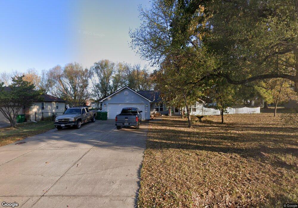
200 E 8th St Adrian, MO 64720
Estimated Value: $254,170 - $380,000
Studio
--
Bath
1,815
Sq Ft
$169/Sq Ft
Est. Value
About This Home
This home is located at 200 E 8th St, Adrian, MO 64720 and is currently estimated at $307,293, approximately $169 per square foot. 200 E 8th St is a home with nearby schools including Adrian R-III Elementary School and Adrian R-III Middle/High School.
Ownership History
Date
Name
Owned For
Owner Type
Purchase Details
Closed on
Jun 21, 2005
Sold by
Residential Funding Corp
Bought by
Davis Howard Rodney and Davis Lou Ann
Current Estimated Value
Home Financials for this Owner
Home Financials are based on the most recent Mortgage that was taken out on this home.
Original Mortgage
$83,200
Outstanding Balance
$42,599
Interest Rate
5.76%
Mortgage Type
New Conventional
Estimated Equity
$264,694
Purchase Details
Closed on
Jan 28, 2005
Sold by
Amarello Michael and Amarello Michael A
Bought by
Jp Morgan Chase Bank
Create a Home Valuation Report for This Property
The Home Valuation Report is an in-depth analysis detailing your home's value as well as a comparison with similar homes in the area
Purchase History
| Date | Buyer | Sale Price | Title Company |
|---|---|---|---|
| Davis Howard Rodney | -- | None Available | |
| Jp Morgan Chase Bank | -- | None Available |
Source: Public Records
Mortgage History
| Date | Status | Borrower | Loan Amount |
|---|---|---|---|
| Open | Davis Howard Rodney | $83,200 |
Source: Public Records
Tax History
| Year | Tax Paid | Tax Assessment Tax Assessment Total Assessment is a certain percentage of the fair market value that is determined by local assessors to be the total taxable value of land and additions on the property. | Land | Improvement |
|---|---|---|---|---|
| 2025 | $1,339 | $23,830 | $0 | $0 |
| 2024 | $13 | $20,900 | $0 | $0 |
| 2023 | $1,340 | $20,900 | $0 | $0 |
| 2022 | $1,151 | $17,840 | $0 | $0 |
| 2020 | $1,112 | $17,840 | $0 | $0 |
| 2019 | $1,111 | $17,840 | $0 | $0 |
| 2018 | $1,111 | $17,840 | $0 | $0 |
| 2017 | $1,093 | $17,840 | $0 | $0 |
| 2016 | $942 | $17,750 | $0 | $0 |
| 2015 | -- | $17,750 | $0 | $0 |
| 2013 | -- | $93,400 | $0 | $0 |
Source: Public Records
Map
Nearby Homes
- 104 E 8th St
- 321 E 7th St
- 604 N Kentucky St
- 32 E 7th St
- 30 E 7th St
- 914 Edith Ave
- 542 N West Lexington St
- 1005 N Old Highway 71 N A
- 124 W 5th St
- 1011 N Old Highway 71 N A
- 35 W 3rd St
- 120 W 3rd St
- 233 W 5th St
- 304 N Mulberry St
- 13263A NE County Road 23 N A
- 317 S Kentucky St
- 422 NE Lakota Dr
- 0 NW County Road 1001
- 13 Skyline Dr
- 19 Skyline Dr
- 726 N Kentucky St
- 202 E 8th St
- 721 N Kentucky St
- 204 E 8th St
- 706 N Kentucky St
- 213 E 8th St
- 102 E 8th St
- 717 N Kentucky St
- 721 Cole St
- 711 N Virginia St
- 206 E 8th St
- 724 N Virginia St
- 105 E 8th St
- 105 Harlequin Dr
- 101 Harlequin Dr
- 153 E Harlequin Dr
- 705 N Kentucky St
- 200 E Harlequin Dr
- 201 E Harlequin Dr
- 106 E Harlequin Dr
Your Personal Tour Guide
Ask me questions while you tour the home.