200 E Fork Rd Lower Salem, OH 45745
Estimated Value: $554,000 - $717,000
2
Beds
1
Bath
2,025
Sq Ft
$309/Sq Ft
Est. Value
About This Home
This home is located at 200 E Fork Rd, Lower Salem, OH 45745 and is currently estimated at $625,887, approximately $309 per square foot. 200 E Fork Rd is a home with nearby schools including Fort Frye High School.
Ownership History
Date
Name
Owned For
Owner Type
Purchase Details
Closed on
Feb 4, 2026
Sold by
Frakes William R and William R Frakes Trust
Bought by
Borntrager Michael J and Borntrager Naomi I
Current Estimated Value
Home Financials for this Owner
Home Financials are based on the most recent Mortgage that was taken out on this home.
Original Mortgage
$350,000
Outstanding Balance
$350,000
Interest Rate
6.18%
Mortgage Type
Credit Line Revolving
Estimated Equity
$275,887
Purchase Details
Closed on
Jul 23, 1997
Bought by
Frakes William Trustee O
Create a Home Valuation Report for This Property
The Home Valuation Report is an in-depth analysis detailing your home's value as well as a comparison with similar homes in the area
Purchase History
| Date | Buyer | Sale Price | Title Company |
|---|---|---|---|
| Borntrager Michael J | $570,300 | None Listed On Document | |
| Frakes William Trustee O | $80,000 | -- | |
| Frakes William Trustee O | $80,000 | -- |
Source: Public Records
Mortgage History
| Date | Status | Borrower | Loan Amount |
|---|---|---|---|
| Open | Borntrager Michael J | $350,000 |
Source: Public Records
Tax History
| Year | Tax Paid | Tax Assessment Tax Assessment Total Assessment is a certain percentage of the fair market value that is determined by local assessors to be the total taxable value of land and additions on the property. | Land | Improvement |
|---|---|---|---|---|
| 2024 | $590 | $43,580 | $35,020 | $8,560 |
| 2023 | $587 | $43,580 | $35,020 | $8,560 |
| 2022 | $584 | $43,580 | $35,020 | $8,560 |
| 2021 | $492 | $36,950 | $30,020 | $6,930 |
| 2020 | $493 | $36,950 | $30,020 | $6,930 |
| 2019 | $492 | $16,250 | $9,320 | $6,930 |
| 2018 | $471 | $15,210 | $9,050 | $6,160 |
| 2017 | $473 | $15,210 | $9,050 | $6,160 |
| 2016 | $895 | $15,210 | $9,050 | $6,160 |
| 2015 | $521 | $16,100 | $9,010 | $7,090 |
| 2014 | $941 | $16,100 | $9,010 | $7,090 |
| 2013 | $525 | $16,100 | $9,010 | $7,090 |
Source: Public Records
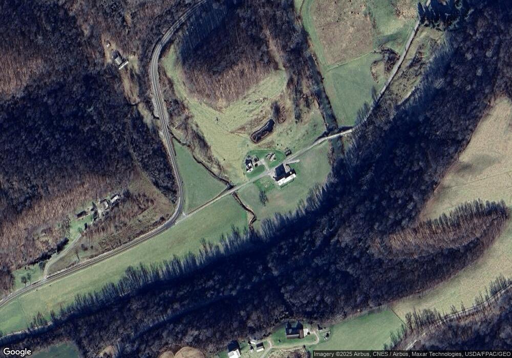
Map
Nearby Homes
- 34799 Paw Rd
- 36189 Harriettsville Rd
- 0 Tract 15 Peaker Run Rd
- 0 Tract 15 Peaker Run Rd
- 0 County Road 46
- 0 Sheepskin Ridge Rd
- 38700 Sheepskin Ridge Rd
- 0 Township Road 366
- 0 Tract 13 Ayers Ridge Rd
- Lot 3 Moss Run Rd
- Lot 4 Moss Run Rd
- 0 Highland Ridge Rd
- 28661 Williams Farm Rd
- 3275 Highland Ridge Rd
- 15999 Ohio 26
- 360 E Henniger Rd
- 11 Moss Run Rd
- 12450 State Route 26
- 0 Moss Run Rd
- 40989 Greer Rd
- 1110 Keihl Rd
- 5825 Germantown Rd
- 5395 Germantown Rd
- 5654 Germantown Rd
- 5744 Germantown Rd
- 700 Keihl Rd
- 50 Long Run Rd
- 5170 Germantown Rd
- 6255 Germantown Rd
- 5040 Germantown Rd
- 3820 Tick Ridge Rd
- 25 Center St
- 440 Long Run Rd
- 0 Coon Run Road and Germantown Rd Unit 4248975
- 1740 Payne Hill Rd
- 655 Coon Run Rd
- 6390 Germantown Rd
- 6425 Germantown Rd
- 260 Coon Run Rd
Your Personal Tour Guide
Ask me questions while you tour the home.