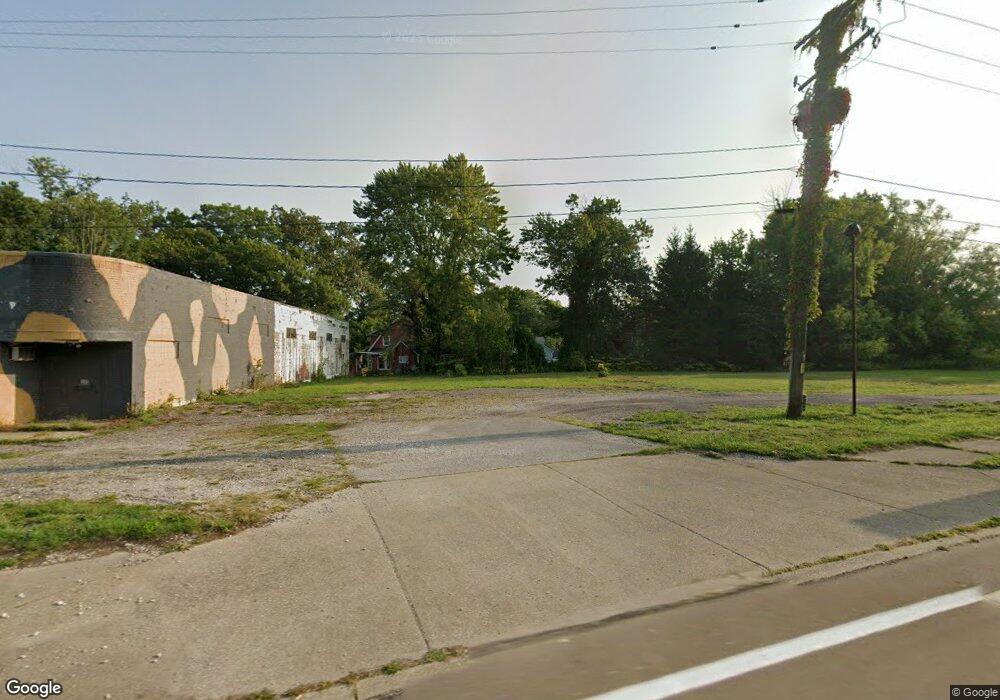
200 E Main Usr 20 Rd Conneaut, OH 44030
Estimated Value: $129,855
Studio
--
Bath
5,965
Sq Ft
$22/Sq Ft
Est. Value
About This Home
This home is located at 200 E Main Usr 20 Rd, Conneaut, OH 44030 and is currently estimated at $129,855, approximately $21 per square foot. 200 E Main Usr 20 Rd is a home located in Ashtabula County with nearby schools including Lakeshore Primary Elementary School, Gateway Elementary School, and Conneaut Middle School.
Ownership History
Date
Name
Owned For
Owner Type
Purchase Details
Closed on
Feb 24, 2021
Sold by
Fred Movf Dba Fmr Enterprises
Bought by
Brady Jennifer and Obrien Thomas
Current Estimated Value
Home Financials for this Owner
Home Financials are based on the most recent Mortgage that was taken out on this home.
Original Mortgage
$76,200
Outstanding Balance
$68,308
Interest Rate
2.7%
Mortgage Type
Seller Take Back
Estimated Equity
$61,547
Purchase Details
Closed on
May 19, 2000
Sold by
Osborne Ricky L
Bought by
F M R Enterprises
Home Financials for this Owner
Home Financials are based on the most recent Mortgage that was taken out on this home.
Original Mortgage
$54,480
Interest Rate
8.21%
Mortgage Type
New Conventional
Create a Home Valuation Report for This Property
The Home Valuation Report is an in-depth analysis detailing your home's value as well as a comparison with similar homes in the area
Home Values in the Area
Average Home Value in this Area
Purchase History
| Date | Buyer | Sale Price | Title Company |
|---|---|---|---|
| Brady Jennifer | $84,900 | Title Professionals Group Lt | |
| F M R Enterprises | $68,000 | -- |
Source: Public Records
Mortgage History
| Date | Status | Borrower | Loan Amount |
|---|---|---|---|
| Open | Brady Jennifer | $76,200 | |
| Previous Owner | F M R Enterprises | $54,480 |
Source: Public Records
Tax History
| Year | Tax Paid | Tax Assessment Tax Assessment Total Assessment is a certain percentage of the fair market value that is determined by local assessors to be the total taxable value of land and additions on the property. | Land | Improvement |
|---|---|---|---|---|
| 2024 | $1,214 | $16,600 | $5,150 | $11,450 |
| 2023 | $1,040 | $16,600 | $5,150 | $11,450 |
| 2022 | $1,067 | $16,600 | $5,150 | $11,450 |
| 2021 | $1,084 | $16,600 | $5,150 | $11,450 |
| 2020 | $1,087 | $16,600 | $5,150 | $11,450 |
| 2019 | $989 | $15,260 | $3,780 | $11,480 |
| 2018 | $950 | $15,260 | $3,780 | $11,480 |
| 2017 | $941 | $15,260 | $3,780 | $11,480 |
| 2016 | $876 | $15,260 | $3,780 | $11,480 |
| 2015 | $1,238 | $15,260 | $3,780 | $11,480 |
| 2014 | $808 | $15,260 | $3,780 | $11,480 |
| 2013 | $1,071 | $21,740 | $5,010 | $16,730 |
Source: Public Records
Map
Nearby Homes
- 404 Viaduct St
- 166 Welton Rd
- 284 Clay St
- 146 Nickle Plate Ave
- 179 Marshall St
- 386 Washington St
- 450 Buffalo St
- 0 Dorman Rd
- 475 State St
- 375 Bliss Ave
- 434 E Main Rd
- 536 Madison St
- 555 Wrights Ave
- 169 River St
- 18 Hillcrest Ct
- 681 Madison St
- 370 E Underridge Rd
- 474 Sherman St
- 745 Maple Ave
- 238 Whitney St
- 383 Tyler Ave
- 379 Tyler Ave
- 216 Woodland Ave
- 210 Woodland Ave
- 220 Woodland Ave
- 211 E Main Rd
- 208 Woodland Ave
- 375 Tyler Ave
- 380 Tyler Ave
- 202 Woodland Ave
- 224 Woodland Ave
- 383 Dorman Rd
- 377 Dorman Rd
- 379 Dorman Rd
- 213 Woodland Ave
- 215 Woodland Ave
- 371 Tyler Ave
- 217 Woodland Ave
- 211 Woodland Ave
- 375 Dorman Rd
Your Personal Tour Guide
Ask me questions while you tour the home.