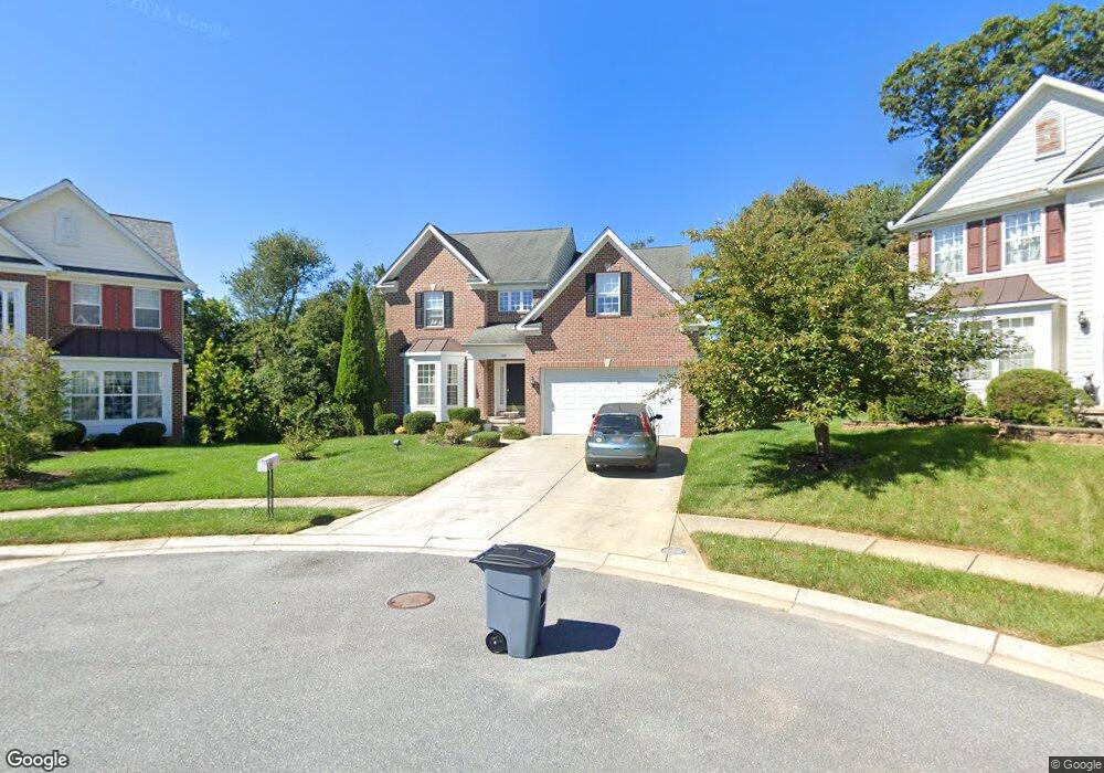
200 Earhart Ct Owings Mills, MD 21117
Estimated Value: $610,000 - $660,000
--
Bed
3
Baths
2,906
Sq Ft
$218/Sq Ft
Est. Value
About This Home
This home is located at 200 Earhart Ct, Owings Mills, MD 21117 and is currently estimated at $632,123, approximately $217 per square foot. 200 Earhart Ct is a home located in Baltimore County with nearby schools including Owings Mills Elementary School, Deer Park Middle Magnet School, and Owings Mills High School.
Ownership History
Date
Name
Owned For
Owner Type
Purchase Details
Closed on
May 8, 2006
Sold by
Foster Communities Of Maryl& Inc
Bought by
Katsnelson Yuliya M and Dammons Larry G
Current Estimated Value
Home Financials for this Owner
Home Financials are based on the most recent Mortgage that was taken out on this home.
Original Mortgage
$47,690
Outstanding Balance
$37,235
Interest Rate
6.23%
Mortgage Type
Credit Line Revolving
Estimated Equity
$594,888
Purchase Details
Closed on
Feb 3, 2006
Sold by
Foster Communities Of Maryl& Inc
Bought by
Katsnelson Yuliya M and Dammons Larry G
Home Financials for this Owner
Home Financials are based on the most recent Mortgage that was taken out on this home.
Original Mortgage
$381,520
Interest Rate
5.75%
Mortgage Type
Purchase Money Mortgage
Create a Home Valuation Report for This Property
The Home Valuation Report is an in-depth analysis detailing your home's value as well as a comparison with similar homes in the area
Home Values in the Area
Average Home Value in this Area
Purchase History
| Date | Buyer | Sale Price | Title Company |
|---|---|---|---|
| Katsnelson Yuliya M | $476,900 | -- | |
| Katsnelson Yuliya M | $476,900 | -- |
Source: Public Records
Mortgage History
| Date | Status | Borrower | Loan Amount |
|---|---|---|---|
| Open | Katsnelson Yuliya M | $47,690 | |
| Open | Katsnelson Yuliya M | $381,520 | |
| Closed | Katsnelson Yuliya M | $47,690 | |
| Previous Owner | Katsnelson Yuliya M | $381,520 |
Source: Public Records
Tax History Compared to Growth
Tax History
| Year | Tax Paid | Tax Assessment Tax Assessment Total Assessment is a certain percentage of the fair market value that is determined by local assessors to be the total taxable value of land and additions on the property. | Land | Improvement |
|---|---|---|---|---|
| 2025 | $6,692 | $464,567 | -- | -- |
| 2024 | $6,692 | $438,400 | $110,300 | $328,100 |
| 2023 | $3,138 | $427,533 | $0 | $0 |
| 2022 | $6,085 | $416,667 | $0 | $0 |
| 2021 | $5,539 | $405,800 | $110,300 | $295,500 |
| 2020 | $5,539 | $398,600 | $0 | $0 |
| 2019 | $5,478 | $391,400 | $0 | $0 |
| 2018 | $5,459 | $384,200 | $110,300 | $273,900 |
| 2017 | $5,806 | $381,667 | $0 | $0 |
| 2016 | $5,858 | $379,133 | $0 | $0 |
| 2015 | $5,858 | $376,600 | $0 | $0 |
| 2014 | $5,858 | $376,600 | $0 | $0 |
Source: Public Records
Map
Nearby Homes
- 921 Academy Ave
- 923 Academy Ave
- 970 Joshua Tree Ct
- 37 Blue Sky Dr
- 21 Samantha Ct
- 25 Samantha Ct
- 805 Joshua Tree Ct
- 19 Pleasant Hill Rd
- 32 Pleasant Hill Rd
- 923A Academy Ave
- 305 Wyndham Cir Unit 305K
- 610 Academy Ave
- 202 Embleton Rd
- 604 Academy Ave
- 156 S Ritters Ln
- 60 S Ritters Ln
- 57 Chins Ct
- 39 Legacy Dr
- 331 Bryanstone Rd
- 318 Bryanstone Rd