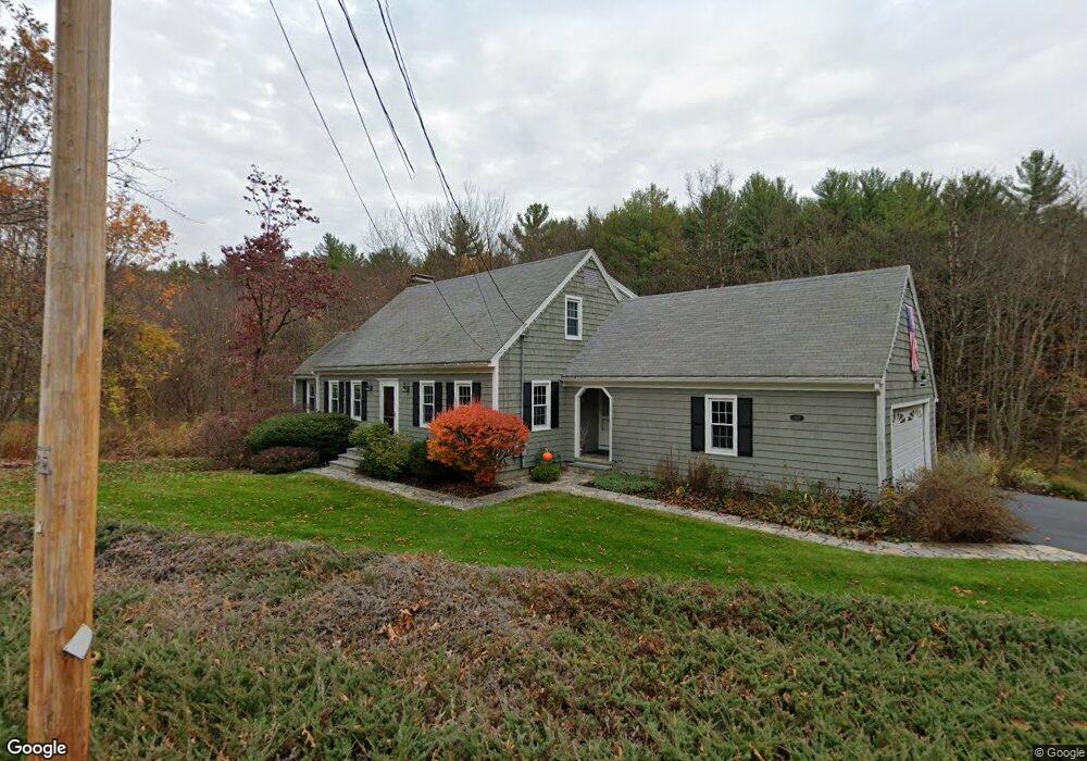
200 Fairbanks St West Boylston, MA 01583
Estimated Value: $689,000 - $718,000
3
Beds
3
Baths
2,270
Sq Ft
$309/Sq Ft
Est. Value
About This Home
This home is located at 200 Fairbanks St, West Boylston, MA 01583 and is currently estimated at $700,895, approximately $308 per square foot. 200 Fairbanks St is a home located in Worcester County with nearby schools including Major Edwards Elementary School and West Boylston Junior/Senior High School.
Ownership History
Date
Name
Owned For
Owner Type
Purchase Details
Closed on
May 28, 1992
Sold by
Anthony Albert J and Anthony Georgia
Bought by
Lizotte David R and Lizotte Patricia
Current Estimated Value
Home Financials for this Owner
Home Financials are based on the most recent Mortgage that was taken out on this home.
Original Mortgage
$60,000
Interest Rate
8.7%
Mortgage Type
Purchase Money Mortgage
Create a Home Valuation Report for This Property
The Home Valuation Report is an in-depth analysis detailing your home's value as well as a comparison with similar homes in the area
Home Values in the Area
Average Home Value in this Area
Purchase History
| Date | Buyer | Sale Price | Title Company |
|---|---|---|---|
| Lizotte David R | $152,000 | -- |
Source: Public Records
Mortgage History
| Date | Status | Borrower | Loan Amount |
|---|---|---|---|
| Closed | Lizotte David R | $61,000 | |
| Closed | Lizotte David R | $60,000 |
Source: Public Records
Tax History Compared to Growth
Tax History
| Year | Tax Paid | Tax Assessment Tax Assessment Total Assessment is a certain percentage of the fair market value that is determined by local assessors to be the total taxable value of land and additions on the property. | Land | Improvement |
|---|---|---|---|---|
| 2025 | $91 | $657,900 | $137,400 | $520,500 |
| 2024 | $8,663 | $586,100 | $139,600 | $446,500 |
| 2023 | $8,712 | $559,200 | $137,400 | $421,800 |
| 2022 | $7,859 | $444,500 | $137,400 | $307,100 |
| 2021 | $6,894 | $408,300 | $114,700 | $293,600 |
| 2020 | $7,386 | $397,500 | $114,700 | $282,800 |
| 2019 | $7,057 | $374,400 | $114,700 | $259,700 |
| 2018 | $6,837 | $365,200 | $114,700 | $250,500 |
| 2017 | $6,076 | $323,200 | $114,700 | $208,500 |
| 2016 | $5,797 | $314,200 | $107,300 | $206,900 |
| 2015 | $5,513 | $300,600 | $106,500 | $194,100 |
Source: Public Records
Map
Nearby Homes
- 21 Myrtle Ave
- 2 Lakeview Ave
- 4 Buttercup Ln
- 136 Sterling St Unit A3
- 101 Sterling St
- 0 Boutelle Rd
- 12 Winthrop St
- 20 Winthrop St
- 112 N Main St
- 16 N Main St
- 20 Holt St Unit G
- 223 Worcester Rd
- 61 Boutelle Rd
- 26 Townsend Dr
- 20 Woodside Dr
- 6 Belmont Dr
- 113 Newton St
- 19 James Rd
- 45 Kendall Hill Rd
- 64 Worcester St
- 212 Fairbanks St
- 199 Fairbanks St
- 193 Fairbanks St
- 187 Fairbanks St
- 211 Fairbanks St
- 215 Fairbanks St
- 181 Fairbanks St
- 180 Fairbanks St
- 183 Fairbanks St
- 220 Fairbanks St
- 221 Fairbanks St
- 166 Fairbanks St
- 227 Fairbanks St
- 164 Fairbanks St
- 231 Fairbanks St
- 232 Fairbanks St
- 155 Fairbanks St
- 326 Sterling St Unit C11
- 326 Sterling St Unit C10
- 326 Sterling St Unit C9