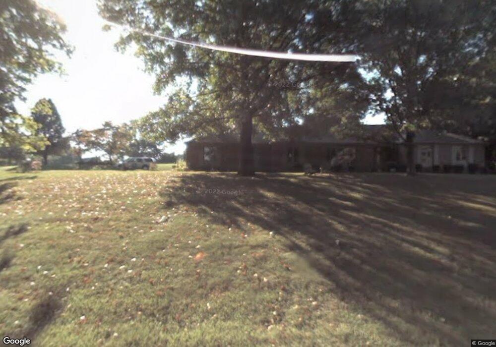
200 Ferguson Dr Martinsville, IN 46151
Estimated Value: $302,000 - $382,974
3
Beds
3
Baths
3,764
Sq Ft
$90/Sq Ft
Est. Value
About This Home
This home is located at 200 Ferguson Dr, Martinsville, IN 46151 and is currently estimated at $337,744, approximately $89 per square foot. 200 Ferguson Dr is a home located in Morgan County with nearby schools including Martinsville High School.
Ownership History
Date
Name
Owned For
Owner Type
Purchase Details
Closed on
Jul 7, 2006
Sold by
Duncan Helen R and Williams Melinda A
Bought by
Rinehart Randall Wayne and Rinehart Debra J
Current Estimated Value
Home Financials for this Owner
Home Financials are based on the most recent Mortgage that was taken out on this home.
Original Mortgage
$114,000
Outstanding Balance
$67,791
Interest Rate
6.68%
Mortgage Type
New Conventional
Estimated Equity
$269,953
Create a Home Valuation Report for This Property
The Home Valuation Report is an in-depth analysis detailing your home's value as well as a comparison with similar homes in the area
Home Values in the Area
Average Home Value in this Area
Purchase History
| Date | Buyer | Sale Price | Title Company |
|---|---|---|---|
| Rinehart Randall Wayne | -- | None Available |
Source: Public Records
Mortgage History
| Date | Status | Borrower | Loan Amount |
|---|---|---|---|
| Open | Rinehart Randall Wayne | $114,000 |
Source: Public Records
Tax History Compared to Growth
Tax History
| Year | Tax Paid | Tax Assessment Tax Assessment Total Assessment is a certain percentage of the fair market value that is determined by local assessors to be the total taxable value of land and additions on the property. | Land | Improvement |
|---|---|---|---|---|
| 2024 | $3,838 | $348,000 | $46,500 | $301,500 |
| 2023 | $3,613 | $348,000 | $46,500 | $301,500 |
| 2022 | $3,305 | $291,600 | $46,500 | $245,100 |
| 2021 | $1,888 | $215,700 | $29,300 | $186,400 |
| 2020 | $2,448 | $222,400 | $29,300 | $193,100 |
| 2019 | $2,175 | $192,000 | $29,300 | $162,700 |
| 2018 | $2,010 | $179,800 | $29,300 | $150,500 |
| 2017 | $1,321 | $164,000 | $29,300 | $134,700 |
| 2016 | $1,837 | $164,000 | $29,300 | $134,700 |
| 2014 | $1,304 | $165,900 | $29,300 | $136,600 |
| 2013 | -- | $165,900 | $29,300 | $136,600 |
Source: Public Records
Map
Nearby Homes
- 105 Byram Blvd
- 105 Wood Place
- 589 Valley Dr
- 200 Bailliere Dr
- 1701 E Woodcrest Dr S
- 1440 E Morgan St
- 863 E Harrison St
- 990 E Washington St
- 99 S 2nd St
- 890 E Washington St
- 909 E Washington St
- 610 E Morgan St
- 00A S R 37 N
- 00E S R 37 N
- 000 S R 37 N
- 1675 Lincoln Hill Rd
- 80 E College Ave
- 490 N Jefferson St
- 359 N Jefferson St
- 110 E Harrison St
- 0 Ferguson Dr Unit 21181136
- 0 Ferguson Dr Unit 21237576
- 0 Ferguson Dr Unit 21297785
- 50 Elliott Ct
- 205 Ferguson Dr
- 220 Ferguson Dr
- 160 Ferguson Dr
- 275 Goodnight Rd
- 106/107 Goodnight Rd
- 20 Elliott Ct
- 40 Elliott Ct
- 175 Ferguson Dr
- 30 Elliott Ct
- 225 Ferguson Dr
- 150 Ferguson Dr
- 270 Goodnight Rd
- 280 Goodnight Rd
- 35 Elliott Ct
- 55 Elliott Ct
- 45 Elliott Ct