200 Forest Oak Dr Franklin, NC 28734
Estimated Value: $503,199 - $653,000
3
Beds
4
Baths
2,600
Sq Ft
$219/Sq Ft
Est. Value
About This Home
This home is located at 200 Forest Oak Dr, Franklin, NC 28734 and is currently estimated at $570,550, approximately $219 per square foot. 200 Forest Oak Dr is a home located in Macon County with nearby schools including Iotla Valley Elementary School, Mountain View Intermediate School, and Macon Middle School.
Ownership History
Date
Name
Owned For
Owner Type
Purchase Details
Closed on
Mar 16, 2005
Sold by
Gossett Daryyl D and Gossett Catherine W
Bought by
Susfal John and Susfal Eva Anna
Current Estimated Value
Home Financials for this Owner
Home Financials are based on the most recent Mortgage that was taken out on this home.
Original Mortgage
$37,425
Interest Rate
5.57%
Mortgage Type
Credit Line Revolving
Create a Home Valuation Report for This Property
The Home Valuation Report is an in-depth analysis detailing your home's value as well as a comparison with similar homes in the area
Home Values in the Area
Average Home Value in this Area
Purchase History
| Date | Buyer | Sale Price | Title Company |
|---|---|---|---|
| Susfal John | $249,500 | None Available |
Source: Public Records
Mortgage History
| Date | Status | Borrower | Loan Amount |
|---|---|---|---|
| Closed | Susfal John | $37,425 |
Source: Public Records
Tax History Compared to Growth
Tax History
| Year | Tax Paid | Tax Assessment Tax Assessment Total Assessment is a certain percentage of the fair market value that is determined by local assessors to be the total taxable value of land and additions on the property. | Land | Improvement |
|---|---|---|---|---|
| 2025 | $1,574 | $417,380 | $44,210 | $373,170 |
| 2024 | -- | $417,380 | $44,210 | $373,170 |
| 2023 | $1,411 | $417,380 | $44,210 | $373,170 |
| 2022 | $1,411 | $274,720 | $31,280 | $243,440 |
| 2021 | $1,368 | $277,220 | $31,280 | $245,940 |
| 2020 | $1,298 | $277,220 | $31,280 | $245,940 |
| 2018 | $1,196 | $272,810 | $31,860 | $240,950 |
| 2017 | $1,196 | $272,810 | $31,860 | $240,950 |
| 2016 | $1,169 | $272,810 | $31,860 | $240,950 |
| 2015 | $1,146 | $272,810 | $31,860 | $240,950 |
| 2014 | $1,081 | $326,530 | $56,620 | $269,910 |
| 2013 | -- | $326,530 | $56,620 | $269,910 |
Source: Public Records
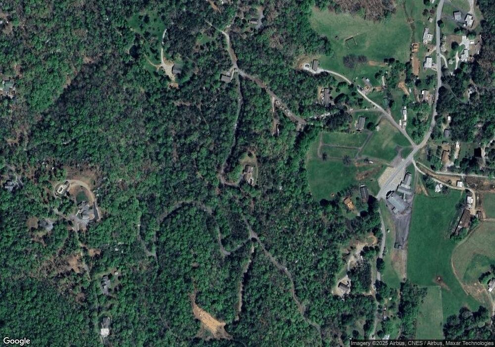
Map
Nearby Homes
- Lot 26 Bryson City Rd
- Lot 19 Bryson City Rd
- 1120 Jacobs Branch Rd
- 113 Courtney Marie Dr
- 109 Jewel Ln
- 00 Pine Ridge Dr
- 00 Rabbit Ln
- 1126 Woodland Heights
- 78 Whippoorwill Trail
- 00 Misty Dawn Cir
- 00 Trimont Mountain Rd
- 100 Shady Oaks Dr
- 120 Trimont Trail
- 30 Maxies Corner Rd
- 48 Lakeside Cir
- 42 & 43 Trimont Lake Estates Rd
- Lot 44 Mews Ln
- 439 Brookwood Dr
- 587 Lakeside Cir
- 333 Fox Layre Rd
- 200 Forest Oak Rd
- 104 Forest Oak Rd
- 210 Forest Oak Rd
- 45 Forest Oak Rd
- 000 Forest Oak Rd
- 1088 Windy Gap Rd
- 1096 Windy Gap Rd
- 248 Forest Oak Rd
- 58 Bill Carver Rd
- 110 Bill Carver Rd
- 0 Sapphire Ln
- 000 Sapphire Ln
- Lot 40 Sapphire Ln
- Lot 41 Sapphire Ln
- 29 Sapphire Ln
- 1150 Windy Gap Rd
- 980 Windy Gap Rd
- 251 Forest Oak Rd
- 1075 Sapphire Ln
- 0 Forest Oak Dr Unit 40313