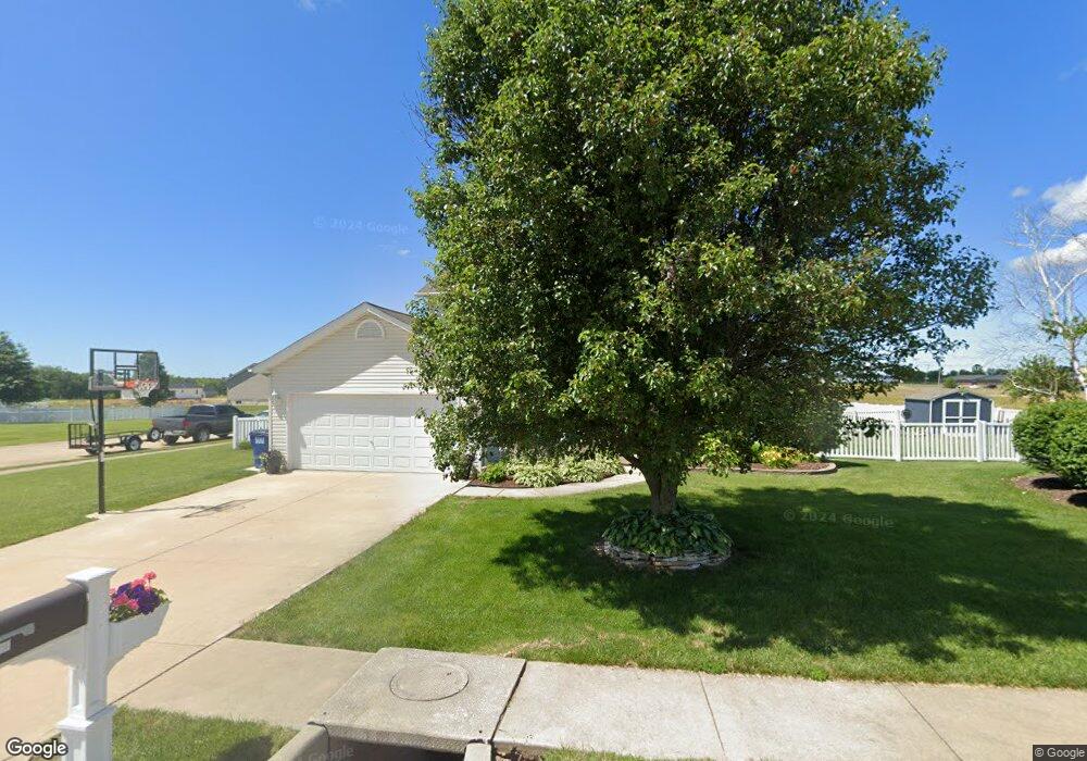
200 Freedom Ln Wright City, MO 63390
Estimated Value: $305,002 - $348,000
Studio
--
Bath
1,824
Sq Ft
$179/Sq Ft
Est. Value
About This Home
This home is located at 200 Freedom Ln, Wright City, MO 63390 and is currently estimated at $326,501, approximately $179 per square foot. 200 Freedom Ln is a home with nearby schools including Wright City West Elementary School, Wright City East Elementary School, and Wright City Middle School.
Ownership History
Date
Name
Owned For
Owner Type
Purchase Details
Closed on
Jun 4, 2018
Sold by
Doerr Jacqueline R
Bought by
Doerr Jeffrey M
Current Estimated Value
Home Financials for this Owner
Home Financials are based on the most recent Mortgage that was taken out on this home.
Original Mortgage
$177,299
Outstanding Balance
$152,686
Interest Rate
4.5%
Mortgage Type
FHA
Estimated Equity
$173,815
Purchase Details
Closed on
Feb 28, 2008
Sold by
Cannon Builders Inc
Bought by
Doerr Jeffrey M and Doerr Jacqueline R
Home Financials for this Owner
Home Financials are based on the most recent Mortgage that was taken out on this home.
Original Mortgage
$180,000
Interest Rate
5.47%
Mortgage Type
New Conventional
Create a Home Valuation Report for This Property
The Home Valuation Report is an in-depth analysis detailing your home's value as well as a comparison with similar homes in the area
Home Values in the Area
Average Home Value in this Area
Purchase History
| Date | Buyer | Sale Price | Title Company |
|---|---|---|---|
| Doerr Jeffrey M | -- | -- | |
| Doerr Jeffrey M | -- | None Available |
Source: Public Records
Mortgage History
| Date | Status | Borrower | Loan Amount |
|---|---|---|---|
| Open | Doerr Jeffrey M | $177,299 | |
| Previous Owner | Doerr Jeffrey M | $180,000 |
Source: Public Records
Tax History
| Year | Tax Paid | Tax Assessment Tax Assessment Total Assessment is a certain percentage of the fair market value that is determined by local assessors to be the total taxable value of land and additions on the property. | Land | Improvement |
|---|---|---|---|---|
| 2025 | $2,465 | $34,624 | $5,565 | $29,059 |
| 2024 | $2,465 | $30,641 | $4,925 | $25,716 |
| 2023 | $2,142 | $30,641 | $4,925 | $25,716 |
| 2022 | $1,998 | $28,371 | $4,560 | $23,811 |
| 2021 | $1,998 | $28,371 | $4,560 | $23,811 |
| 2020 | $2,026 | $28,371 | $4,560 | $23,811 |
| 2019 | $2,020 | $28,371 | $0 | $0 |
| 2017 | $1,954 | $28,371 | $0 | $0 |
| 2016 | $1,965 | $28,371 | $0 | $0 |
| 2015 | -- | $28,371 | $0 | $0 |
| 2011 | -- | $28,370 | $0 | $0 |
Source: Public Records
Map
Nearby Homes
- 305 Stonewall Ave
- 708 Vicksburg Ln
- 1011 Samwise St
- 1015 Samwise St
- 1017 Samwise St
- 1019 Samwise St
- 1021 Samwise St
- 12 Willow Ct
- 115 Fort Dodge Dr
- 111 Elizabeth Ct
- 107 Elizabeth Ct
- 109 Elizabeth Ct
- 113 Elizabeth Ct
- 105 Anna Ct
- 106 Anna Ct
- 104 Anna Ct
- 107 Anna Ct
- 109 Anna Ct
- 102 Anna Ct
- 156 Lake Tucci Cir
- 102 Chancellorville Dr
- 104 Chancellorville Dr
- 300 Stone Wall Ave
- 318 Stonewall Ave
- 312 Stonewall Ave
- 306 Stonewall Ave
- 106 Chancellorville Dr
- 105 Chancellorville Dr
- 202 Freedom Ln
- 108 Chancellorville Dr
- 107 Chancellorville Dr
- 303 Stone Wall Ave
- 204 Freedom Ln
- 3 Tbblt Freedom Ln
- 2 Tbblt Freedom Ln
- 8 Tbblt Freedom Ln
- 7 Tbblt Freedom Ln
- 6 Tbblt Freedom Ln
- 5 Tbblt Freedom Ln
- 4 Tbblt Freedom Ln
Your Personal Tour Guide
Ask me questions while you tour the home.