200 Frys Ford Ln Locust Dale, VA 22948
Estimated Value: $500,000 - $910,918
2
Beds
3
Baths
1,596
Sq Ft
$442/Sq Ft
Est. Value
About This Home
This home is located at 200 Frys Ford Ln, Locust Dale, VA 22948 and is currently estimated at $705,459, approximately $442 per square foot. 200 Frys Ford Ln is a home located in Madison County with nearby schools including Madison Primary School, Waverly Yowell Elementary School, and William H. Wetsel Middle School.
Ownership History
Date
Name
Owned For
Owner Type
Purchase Details
Closed on
Jul 13, 2018
Sold by
Davis Donald C and Davis Lisa Rice
Bought by
Davis Donald C and Davis Lisa Rice
Current Estimated Value
Home Financials for this Owner
Home Financials are based on the most recent Mortgage that was taken out on this home.
Original Mortgage
$133,501
Outstanding Balance
$115,699
Interest Rate
4.5%
Mortgage Type
New Conventional
Estimated Equity
$589,760
Purchase Details
Closed on
Sep 1, 2016
Sold by
Davis Donald C and Davis Lisa Rice
Bought by
The Davis Family Trust Dated September 1
Create a Home Valuation Report for This Property
The Home Valuation Report is an in-depth analysis detailing your home's value as well as a comparison with similar homes in the area
Home Values in the Area
Average Home Value in this Area
Purchase History
| Date | Buyer | Sale Price | Title Company |
|---|---|---|---|
| Davis Donald C | -- | None Available | |
| Davis Donald C | -- | None Available | |
| The Davis Family Trust Dated September 1 | -- | None Available |
Source: Public Records
Mortgage History
| Date | Status | Borrower | Loan Amount |
|---|---|---|---|
| Open | Davis Donald C | $133,501 |
Source: Public Records
Tax History Compared to Growth
Tax History
| Year | Tax Paid | Tax Assessment Tax Assessment Total Assessment is a certain percentage of the fair market value that is determined by local assessors to be the total taxable value of land and additions on the property. | Land | Improvement |
|---|---|---|---|---|
| 2025 | $6,717 | $1,317,000 | $211,900 | $1,105,100 |
| 2024 | $5,489 | $741,700 | $150,900 | $590,800 |
| 2023 | $5,489 | $741,700 | $150,900 | $590,800 |
| 2022 | $5,489 | $741,700 | $150,900 | $590,800 |
| 2021 | $5,489 | $741,700 | $150,900 | $590,800 |
| 2020 | $5,224 | $735,800 | $150,900 | $584,900 |
| 2019 | $5,151 | $735,800 | $150,900 | $584,900 |
| 2018 | $4,463 | $656,300 | $188,700 | $467,600 |
| 2017 | $4,463 | $656,300 | $188,700 | $467,600 |
| 2016 | -- | $656,300 | $188,700 | $467,600 |
| 2015 | -- | $656,300 | $188,700 | $467,600 |
| 2014 | -- | $656,300 | $188,700 | $467,600 |
Source: Public Records
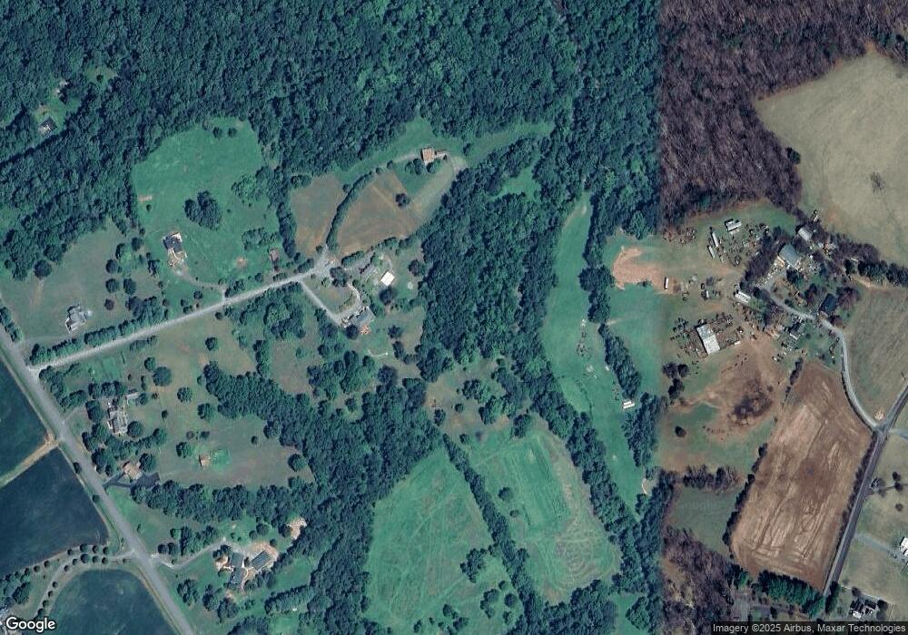
Map
Nearby Homes
- 7221 Crockett Ave
- 251 Hawk Cir
- 24461 Oak Forest Dr
- Lot A Trasara Rd
- 1522 Meander Run Rd
- LOT 1 Cedar Ridge Rd
- LOT 2 Cedar Ridge Rd
- 4571 Elly Rd
- 915 Leon Rd
- 0 Beahm Town Rd Unit VAMA2002440
- 21281 Old Mill Rd
- 23350 Cedar Mountain Dr
- 3628 Elly Rd
- 9377 General Winder Rd
- TBD Mount Pisgah Church Dr
- 0 Rapidan Rd Unit VACU2009782
- 1916 Leon Rd
- 0 Amandas Ridge Ln Unit VACU2011458
- 1789 Thoroughfare Rd
- 34 Timber Ridge Trail
- TM 52-9A Meander Run Rd
- 206 Frys Ford Ln
- 135 Frys Ford Ln
- 135 Frys Ford Ln
- 702 Meander Run Rd
- 766 Meander Run Rd
- 656 Meander Run Rd
- 584 Meander Run Rd
- 888 Meander Run Rd
- 506 Meander Run Rd
- 506 Meander Run Rd
- 952 Meander Run Rd
- 607 Meander Run Rd
- 7712 White Oak Rd
- 986 Meander Run Rd
- 7802 White Oak Rd
- 366 Meander Run Rd
- 1074 Meander Run Rd
- 1056 Meander Run Rd
- 340 Meander Run Rd