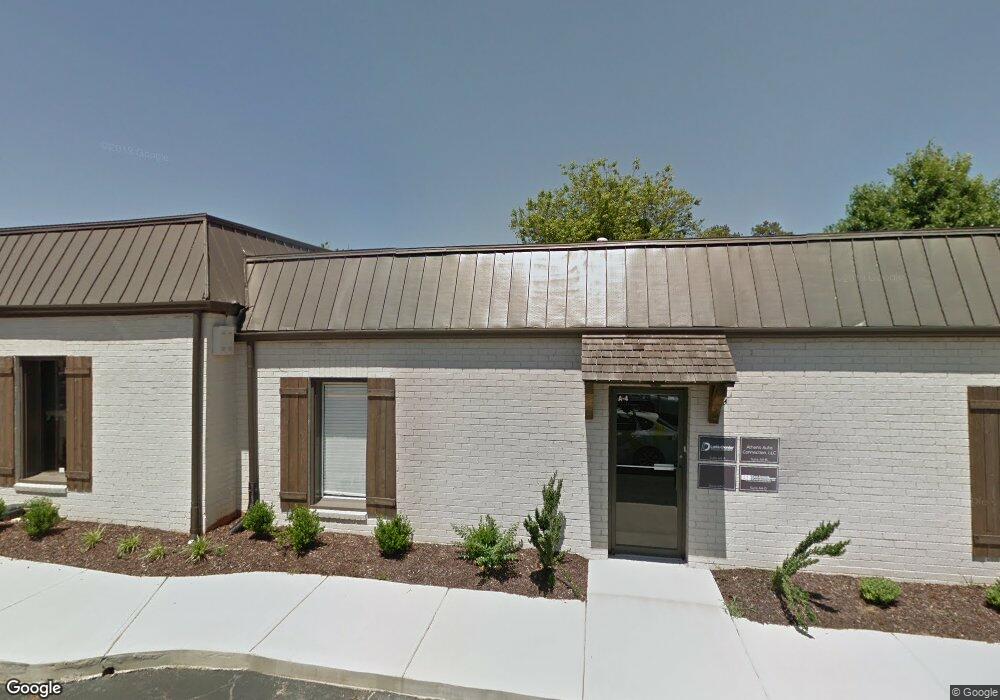
200 Georgetown Dr Unit B-11 Athens, GA 30605
Estimated Value: $220,897 - $234,000
2
Beds
2
Baths
1,224
Sq Ft
$186/Sq Ft
Est. Value
About This Home
This home is located at 200 Georgetown Dr Unit B-11, Athens, GA 30605 and is currently estimated at $227,474, approximately $185 per square foot. 200 Georgetown Dr Unit B-11 is a home located in Clarke County with nearby schools including Gaines Elementary School, Hilsman Middle School, and Cedar Shoals High School.
Ownership History
Date
Name
Owned For
Owner Type
Purchase Details
Closed on
May 28, 2019
Sold by
Wyatt Evelyn A
Bought by
Griffin Erin A and Wyatt Family Trust
Current Estimated Value
Purchase Details
Closed on
Feb 9, 2018
Sold by
Davis Andrew R
Bought by
Wyatt Evelyn Alice
Purchase Details
Closed on
Nov 5, 2012
Sold by
Adang Courtney Cunningham
Bought by
Davis Andrew R
Home Financials for this Owner
Home Financials are based on the most recent Mortgage that was taken out on this home.
Original Mortgage
$61,600
Interest Rate
3.4%
Mortgage Type
New Conventional
Purchase Details
Closed on
Nov 1, 2012
Sold by
Cunningham Robert Franklin
Bought by
Davis Andrew R
Home Financials for this Owner
Home Financials are based on the most recent Mortgage that was taken out on this home.
Original Mortgage
$61,600
Interest Rate
3.4%
Mortgage Type
New Conventional
Purchase Details
Closed on
Nov 5, 2008
Sold by
Adang Courtney C
Bought by
Cunningham Deborah F
Home Financials for this Owner
Home Financials are based on the most recent Mortgage that was taken out on this home.
Original Mortgage
$78,000
Interest Rate
5.89%
Mortgage Type
New Conventional
Purchase Details
Closed on
Oct 28, 2008
Sold by
Brewer Benjamin A
Bought by
Adang Courtney C
Home Financials for this Owner
Home Financials are based on the most recent Mortgage that was taken out on this home.
Original Mortgage
$78,000
Interest Rate
5.89%
Mortgage Type
New Conventional
Purchase Details
Closed on
Sep 21, 2006
Sold by
Not Provided
Bought by
Cunningham Deborah F
Purchase Details
Closed on
May 28, 2004
Sold by
Tweedel Lynn M
Bought by
Brewer Benjamin A and Cunn Courtney H
Purchase Details
Closed on
Mar 29, 2002
Sold by
Mercardante Mona L
Bought by
Tweedel Lynn M
Purchase Details
Closed on
Apr 16, 1999
Sold by
Brown Tina M
Bought by
Mercardante Mona L
Purchase Details
Closed on
Jan 7, 1994
Sold by
Vanwicklen Betty J
Bought by
Brown Tina M
Purchase Details
Closed on
May 19, 1989
Sold by
Okey Jan M
Bought by
Vanwicklen Betty J
Create a Home Valuation Report for This Property
The Home Valuation Report is an in-depth analysis detailing your home's value as well as a comparison with similar homes in the area
Home Values in the Area
Average Home Value in this Area
Purchase History
| Date | Buyer | Sale Price | Title Company |
|---|---|---|---|
| Griffin Erin A | -- | -- | |
| Wyatt Evelyn Alice | $97,000 | -- | |
| Davis Andrew R | -- | -- | |
| Davis Andrew R | $77,000 | -- | |
| Davis Andrew R | -- | -- | |
| Davis Andrew R | -- | -- | |
| Cunningham Deborah F | $97,500 | -- | |
| Adang Courtney C | -- | -- | |
| Cunningham Deborah F | -- | -- | |
| Brewer Benjamin A | $95,000 | -- | |
| Tweedel Lynn M | $91,000 | -- | |
| Mercardante Mona L | $81,000 | -- | |
| Brown Tina M | $50,800 | -- | |
| Vanwicklen Betty J | $52,000 | -- |
Source: Public Records
Mortgage History
| Date | Status | Borrower | Loan Amount |
|---|---|---|---|
| Previous Owner | Davis Andrew R | $61,600 | |
| Previous Owner | Davis Andrew R | $61,600 | |
| Previous Owner | Cunningham Deborah F | $78,000 | |
| Previous Owner | Adang Courtney C | $78,000 |
Source: Public Records
Tax History Compared to Growth
Tax History
| Year | Tax Paid | Tax Assessment Tax Assessment Total Assessment is a certain percentage of the fair market value that is determined by local assessors to be the total taxable value of land and additions on the property. | Land | Improvement |
|---|---|---|---|---|
| 2025 | $1,296 | $81,980 | $8,000 | $73,980 |
| 2024 | $1,296 | $77,841 | $8,000 | $69,841 |
| 2023 | $296 | $75,374 | $8,000 | $67,374 |
| 2022 | $1,302 | $59,883 | $8,000 | $51,883 |
| 2021 | $1,293 | $54,007 | $8,000 | $46,007 |
| 2020 | $1,499 | $44,481 | $8,000 | $36,481 |
| 2019 | $911 | $41,585 | $8,000 | $33,585 |
| 2018 | $960 | $38,264 | $8,000 | $30,264 |
| 2017 | $932 | $37,443 | $8,000 | $29,443 |
| 2016 | $789 | $33,231 | $8,000 | $25,231 |
| 2015 | $751 | $32,086 | $8,000 | $24,086 |
| 2014 | $698 | $30,462 | $8,000 | $22,462 |
Source: Public Records
Map
Nearby Homes
- 219 Georgetown Dr
- 100 Ansonborough Ln Unit 403
- 100 Ansonborough Ln Unit 601
- 200 Scandia Cir Unit 5
- 400 Greencrest Dr
- 354 Greencrest Dr
- 169 Spring Lake Dr
- 170 Brookwood Dr
- 352 Greencrest Dr
- 450 Gaines School Rd
- 1035 Barnett Shoals Rd Unit 1010
- 1035 Barnett Shoals Rd Unit 313
- 1035 Barnett Shoals Rd Unit 223
- 1035 Barnett Shoals Rd Unit 913
- 1035 Barnett Shoals Rd Unit 713
- 200 Georgetown Dr Unit 200
- 200 Georgetown Dr
- 202 Georgetown Dr
- 202 Georgetown Dr Unit B-12
- 204 Georgetown Dr
- 112 Georgetown Dr
- 206 Georgetown Dr
- 110 Georgetown Dr Unit 110
- 110 Georgetown Dr
- 110 Georgetown Dr Unit A-14
- 208 Georgetown Dr
- 210 Georgetown Dr
- 108 Georgetown Dr
- 212 Georgetown Dr
- 106 Georgetown Dr
- 214 Georgetown Dr
- 104 Georgetown Dr
- 104 Georgetown Dr
- 216 Georgetown Dr
- 102 Georgetown Dr