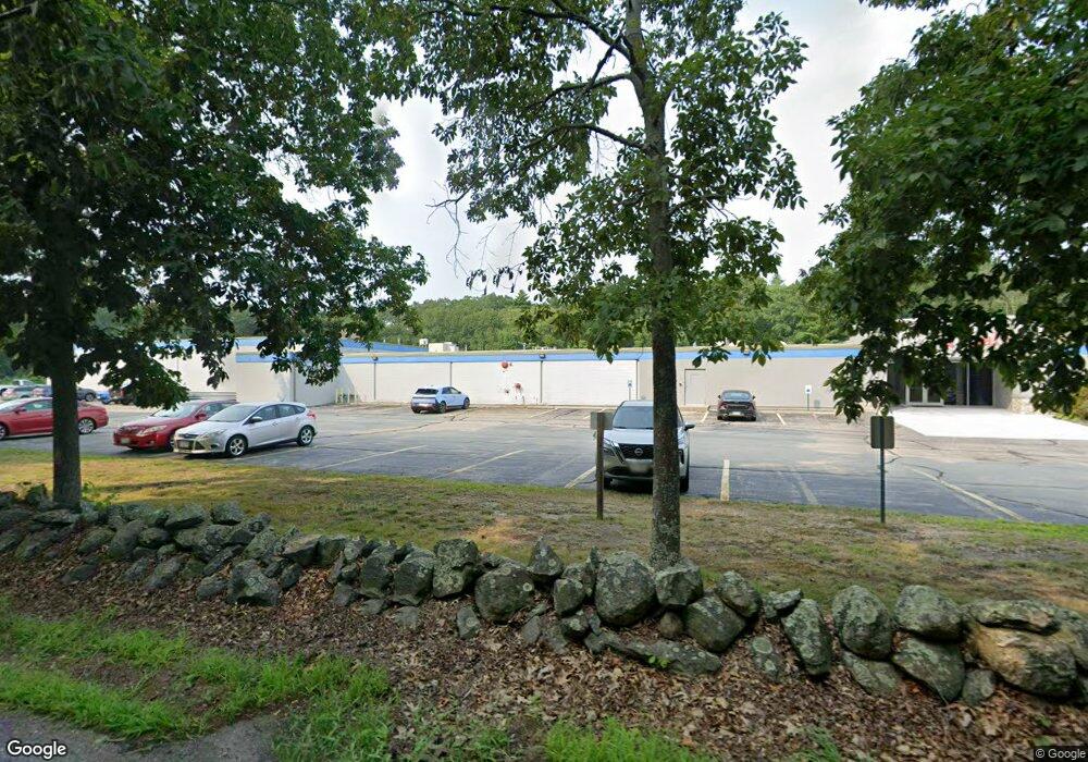
200 Gilbert St Mansfield, MA 02048
Estimated Value: $1,825,946
--
Bed
6
Baths
34,272
Sq Ft
$53/Sq Ft
Est. Value
About This Home
This home is located at 200 Gilbert St, Mansfield, MA 02048 and is currently estimated at $1,825,946, approximately $53 per square foot. 200 Gilbert St is a home located in Bristol County with nearby schools including Everett W. Robinson Elementary School, Jordan/Jackson Elementary School, and Harold L. Qualters Middle School.
Ownership History
Date
Name
Owned For
Owner Type
Purchase Details
Closed on
Dec 23, 1994
Sold by
Greater Providence Dep
Bought by
Doran & Bagnall & Co
Current Estimated Value
Purchase Details
Closed on
Sep 16, 1994
Sold by
Pare Edward D
Bought by
Greater Providence Dep
Create a Home Valuation Report for This Property
The Home Valuation Report is an in-depth analysis detailing your home's value as well as a comparison with similar homes in the area
Home Values in the Area
Average Home Value in this Area
Purchase History
| Date | Buyer | Sale Price | Title Company |
|---|---|---|---|
| Doran & Bagnall & Co | $450,000 | -- | |
| Greater Providence Dep | $422,000 | -- |
Source: Public Records
Mortgage History
| Date | Status | Borrower | Loan Amount |
|---|---|---|---|
| Open | Greater Providence Dep | $600,000 | |
| Closed | Greater Providence Dep | $370,000 |
Source: Public Records
Tax History Compared to Growth
Tax History
| Year | Tax Paid | Tax Assessment Tax Assessment Total Assessment is a certain percentage of the fair market value that is determined by local assessors to be the total taxable value of land and additions on the property. | Land | Improvement |
|---|---|---|---|---|
| 2025 | $46,283 | $2,308,400 | $394,000 | $1,914,400 |
| 2024 | $43,066 | $2,258,300 | $394,000 | $1,864,300 |
| 2023 | $41,824 | $2,258,300 | $394,000 | $1,864,300 |
| 2022 | $40,902 | $2,166,400 | $394,000 | $1,772,400 |
| 2021 | $0 | $1,901,000 | $225,400 | $1,675,600 |
| 2020 | $41,062 | $1,901,000 | $225,400 | $1,675,600 |
| 2019 | $38,856 | $1,901,000 | $225,400 | $1,675,600 |
| 2018 | $0 | $1,783,700 | $225,400 | $1,558,300 |
| 2017 | $0 | $1,783,700 | $225,400 | $1,558,300 |
| 2016 | $33,545 | $1,630,000 | $225,400 | $1,404,600 |
| 2015 | $33,167 | $1,598,400 | $193,800 | $1,404,600 |
Source: Public Records
Map
Nearby Homes
- 150 Gilbert St
- 255 Mckeon Dr
- 451R Gilbert St
- 176 Elm St
- 4 Buckskin Dr
- 2 Oak St Unit 2D
- 2 Oak St Unit 2A
- 2 Oak St Unit 2C
- 2 Oak St Unit 2B
- 37 Oakleaf Dr
- 196 Donald Tennant Cir
- 24 Maverick Dr
- 115 Westfield Dr
- 11 Buckthorn Ln
- 11 Landry Ave
- 14 Country Club Way
- 57 Vine St
- 21 Shady Ln
- 20 Sperry Ln
- 116 George St
- 197 Gilbert St
- 199 Gilbert St
- 193 Gilbert St Unit 2
- 193 Gilbert St
- 191 Gilbert St Unit 1
- 191 Gilbert St
- 191 Gilbert St
- 182 Gilbert St
- 180 Gilbert St
- 175 Gilbert St
- 174 Gilbert St
- 0 Chessman Rd Unit L-3
- 171 Gilbert St
- 2 Chessman Rd
- 250 Gilbert St
- 250 Gilbert St Unit 1
- 168 Gilbert St
- 4 Chessman Rd
- 158 Gilbert St
- 279 Gilbert St