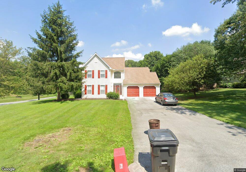
200 Glenfield Ln Kennett Square, PA 19348
Estimated Value: $546,622 - $635,000
3
Beds
3
Baths
2,144
Sq Ft
$276/Sq Ft
Est. Value
About This Home
This home is located at 200 Glenfield Ln, Kennett Square, PA 19348 and is currently estimated at $592,156, approximately $276 per square foot. 200 Glenfield Ln is a home located in Chester County with nearby schools including Kennett Middle School, Kennett High School, and Avon Grove Charter School.
Ownership History
Date
Name
Owned For
Owner Type
Purchase Details
Closed on
Apr 11, 1995
Sold by
The Bancroft Woods Company
Bought by
Rafter John J
Current Estimated Value
Home Financials for this Owner
Home Financials are based on the most recent Mortgage that was taken out on this home.
Original Mortgage
$120,000
Interest Rate
8.49%
Create a Home Valuation Report for This Property
The Home Valuation Report is an in-depth analysis detailing your home's value as well as a comparison with similar homes in the area
Home Values in the Area
Average Home Value in this Area
Purchase History
| Date | Buyer | Sale Price | Title Company |
|---|---|---|---|
| Rafter John J | $166,342 | -- |
Source: Public Records
Mortgage History
| Date | Status | Borrower | Loan Amount |
|---|---|---|---|
| Closed | Rafter John J | $120,000 |
Source: Public Records
Tax History Compared to Growth
Tax History
| Year | Tax Paid | Tax Assessment Tax Assessment Total Assessment is a certain percentage of the fair market value that is determined by local assessors to be the total taxable value of land and additions on the property. | Land | Improvement |
|---|---|---|---|---|
| 2025 | $6,732 | $168,100 | $42,010 | $126,090 |
| 2024 | $6,732 | $168,100 | $42,010 | $126,090 |
| 2023 | $6,507 | $168,100 | $42,010 | $126,090 |
| 2022 | $6,412 | $168,100 | $42,010 | $126,090 |
| 2021 | $6,347 | $168,100 | $42,010 | $126,090 |
| 2020 | $6,226 | $168,100 | $42,010 | $126,090 |
| 2019 | $6,079 | $166,370 | $42,010 | $124,360 |
| 2018 | $5,984 | $166,370 | $42,010 | $124,360 |
| 2017 | $5,861 | $166,370 | $42,010 | $124,360 |
| 2016 | $660 | $166,370 | $42,010 | $124,360 |
| 2015 | $660 | $166,370 | $42,010 | $124,360 |
| 2014 | $660 | $166,370 | $42,010 | $124,360 |
Source: Public Records
Map
Nearby Homes
- 131 Foragers Ln
- 156 Bancroft Rd Unit CARLTON
- 156 Bancroft Rd Unit SUTTON
- 156 Bancroft Rd Unit SGR
- 156 Bancroft Rd Unit CARLTON GRND
- 107 Foragers Ln
- 103 Foragers Ln
- 13 Tullow Hill Dr
- 15 Tullow Hill Dr
- 9 Tullow Hill Dr
- 5 Tullow Hill Dr
- 1265 W Baltimore Pike
- Augusta Plan at Stonebridge at Longwood
- Hawthorne Plan at Stonebridge at Longwood
- Magnolia Plan at Enclave at Tattersall
- Woodford Plan at Stonebridge at Longwood
- Kipling Plan at Stonebridge at Longwood
- Devonshire Plan at Enclave at Tattersall
- Ethan Plan at Stonebridge at Longwood
- Covington Plan at Enclave at Tattersall
- 204 Glenfield Ln
- 101 Crestview Dr
- 201 Glenfield Ln
- 105 Crestview Dr
- 205 Glenfield Ln
- 208 Glenfield Ln
- 115 Crestview Dr
- 712 Brighton Cir
- 209 Glenfield Ln
- 212 Glenfield Ln
- 125 Crestview Dr
- 118 Bancroft Rd
- 716 Brighton Cir
- 707 Brighton Cir
- 100 Crestview Dr
- 213 Glenfield Ln
- 711 Brighton Cir
- 135 Crestview Dr
- 110 Crestview Dr
- 216 Glenfield Ln