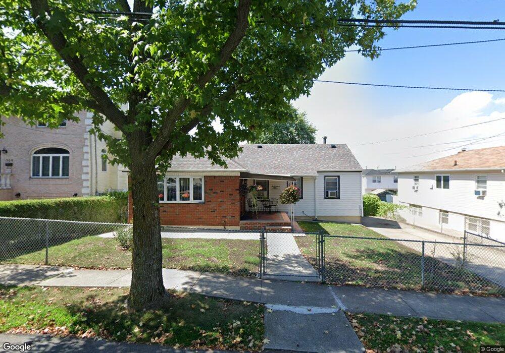
200 Graves St Staten Island, NY 10314
Manor Heights NeighborhoodEstimated Value: $603,000 - $766,000
3
Beds
2
Baths
1,038
Sq Ft
$680/Sq Ft
Est. Value
About This Home
This home is located at 200 Graves St, Staten Island, NY 10314 and is currently estimated at $705,328, approximately $679 per square foot. 200 Graves St is a home located in Richmond County with nearby schools including P.S. 54 Charles W Leng, Is 72 Rocco Laurie, and Susan E Wagner High School.
Ownership History
Date
Name
Owned For
Owner Type
Purchase Details
Closed on
Jan 28, 2000
Sold by
Branfman Ilene and Cataldo Sharon
Bought by
Varghese Varghese and Varghese Lizamma
Current Estimated Value
Home Financials for this Owner
Home Financials are based on the most recent Mortgage that was taken out on this home.
Original Mortgage
$157,600
Interest Rate
8.4%
Create a Home Valuation Report for This Property
The Home Valuation Report is an in-depth analysis detailing your home's value as well as a comparison with similar homes in the area
Home Values in the Area
Average Home Value in this Area
Purchase History
| Date | Buyer | Sale Price | Title Company |
|---|---|---|---|
| Varghese Varghese | $197,000 | Fidelity National Title Ins |
Source: Public Records
Mortgage History
| Date | Status | Borrower | Loan Amount |
|---|---|---|---|
| Previous Owner | Varghese Varghese | $157,600 |
Source: Public Records
Tax History Compared to Growth
Tax History
| Year | Tax Paid | Tax Assessment Tax Assessment Total Assessment is a certain percentage of the fair market value that is determined by local assessors to be the total taxable value of land and additions on the property. | Land | Improvement |
|---|---|---|---|---|
| 2025 | $5,206 | $46,140 | $9,265 | $36,875 |
| 2024 | $5,218 | $38,160 | $10,568 | $27,592 |
| 2023 | $4,951 | $25,776 | $8,432 | $17,344 |
| 2022 | $4,859 | $40,980 | $14,760 | $26,220 |
| 2021 | $5,081 | $40,320 | $14,760 | $25,560 |
| 2020 | $4,812 | $34,800 | $14,760 | $20,040 |
| 2019 | $4,470 | $30,240 | $14,760 | $15,480 |
| 2018 | $4,081 | $21,480 | $14,760 | $6,720 |
| 2017 | $4,445 | $23,277 | $13,966 | $9,311 |
| 2016 | $4,080 | $21,960 | $14,760 | $7,200 |
| 2015 | $3,771 | $22,380 | $12,300 | $10,080 |
| 2014 | $3,771 | $21,240 | $12,300 | $8,940 |
Source: Public Records
Map
Nearby Homes
- 240 Harold St
- 153 Graves St
- 236 Queen St
- 371 Bradley Ave
- 243 Wellbrook Ave
- 17 Bradley Ct Unit A
- 380 Gansevoort Blvd
- 33 Bradley Ct Unit A
- 158 Portage Ave
- 50 Bradley Ct Unit 52
- 148 Roosevelt Ave
- 51 Livingston Ave
- 337 Gansevoort Blvd
- 566 Buchanan Ave Unit B
- 15 Soren St
- 99 Harold St
- 244 Gansevoort Blvd
- 114 Sunset Ave
- 5 Birchard Ave
- 364 Elvin St
- 192 Graves St
- 208 Graves St
- 251 Portage Ave
- 188 Graves St
- 195 Wellbrook Ave
- 175 Wellbrook Ave
- 203 Wellbrook Ave
- 189 Wellbrook Ave
- 187 Wellbrook Ave
- 186 Graves St
- 191 Wellbrook Ave
- 185 Wellbrook Ave
- 257 Portage Ave Unit 2
- 257 Portage Ave
- 199 Graves St
- 201 Graves St
- 201 Graves St Unit A
- 201A Graves St
- 197 Graves St
- 203 Graves St