200 High Lake Dr Statesville, NC 28677
Estimated Value: $925,793 - $1,184,000
3
Beds
4
Baths
4,142
Sq Ft
$250/Sq Ft
Est. Value
About This Home
This home is located at 200 High Lake Dr, Statesville, NC 28677 and is currently estimated at $1,036,698, approximately $250 per square foot. 200 High Lake Dr is a home located in Iredell County with nearby schools including Celeste Henkel Elementary School, West Iredell Middle School, and West Iredell High School.
Ownership History
Date
Name
Owned For
Owner Type
Purchase Details
Closed on
Jun 29, 2006
Sold by
Messer Rebecca Barber and Messer Donald Ray
Bought by
Gay Ralph and Gay Connie
Current Estimated Value
Purchase Details
Closed on
Nov 18, 2000
Sold by
Sullivan Amy L
Bought by
White Jay Kevin
Purchase Details
Closed on
Apr 19, 2000
Sold by
Estate Of Alice R Whitmore and Whitmore Anne Mccleary
Bought by
Reid Michael C
Purchase Details
Closed on
Apr 1, 1997
Create a Home Valuation Report for This Property
The Home Valuation Report is an in-depth analysis detailing your home's value as well as a comparison with similar homes in the area
Home Values in the Area
Average Home Value in this Area
Purchase History
| Date | Buyer | Sale Price | Title Company |
|---|---|---|---|
| Gay Ralph | $195,000 | None Available | |
| White Jay Kevin | -- | -- | |
| Reid Michael C | -- | -- | |
| -- | -- | -- |
Source: Public Records
Tax History Compared to Growth
Tax History
| Year | Tax Paid | Tax Assessment Tax Assessment Total Assessment is a certain percentage of the fair market value that is determined by local assessors to be the total taxable value of land and additions on the property. | Land | Improvement |
|---|---|---|---|---|
| 2024 | $4,378 | $719,630 | $218,500 | $501,130 |
| 2023 | $4,378 | $719,630 | $218,500 | $501,130 |
| 2022 | $3,460 | $533,350 | $190,000 | $343,350 |
| 2021 | $3,403 | $533,350 | $190,000 | $343,350 |
| 2020 | $3,403 | $533,350 | $190,000 | $343,350 |
| 2019 | $3,269 | $533,350 | $190,000 | $343,350 |
| 2018 | $3,127 | $514,600 | $190,000 | $324,600 |
| 2017 | $3,127 | $514,600 | $190,000 | $324,600 |
| 2016 | $3,127 | $514,600 | $190,000 | $324,600 |
| 2015 | $3,127 | $514,600 | $190,000 | $324,600 |
| 2014 | $3,107 | $548,740 | $190,000 | $358,740 |
Source: Public Records
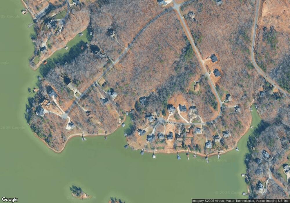
Map
Nearby Homes
- 122 High Lake Dr
- Princeton Plan at Harbor Watch
- Berkeley Plan at Harbor Watch
- Davidson Plan at Harbor Watch
- Harvard Plan at Harbor Watch
- Madison Plan at Harbor Watch
- Columbia Plan at Harbor Watch
- 243 S Harbor Watch Dr Unit 22
- 204 S Harbor Watch Dr
- 463 Laurel Cove Rd
- 555 Laurel Cove Rd
- 131 High Lake Dr
- L177 Laurel Cove Rd
- 139 N Harbor Watch Dr
- 122 Huntcliff Dr
- 8118 Summit Ridge Dr
- Lt 161 Windbluff Ct
- 142 Mimosa Rd
- 8225 Long Island Rd
- 8068 Summit Ridge Dr
- 204 High Lake Dr
- 204 High Lake Dr Unit 16
- 208 High Lake Dr
- 208 High Lake Dr Unit 15
- 118 High Lake Dr Unit 18
- 196 High Lake Dr
- 233 S Harbor Watch Dr
- 207 High Lake Dr
- 239 S Harbor Watch Dr
- 243 Harbor Watch Dr Unit 22
- 239 S Harbor Watch Dr
- 190 High Lake Dr
- 199 High Lake Dr
- 195 High Lake Dr
- 195 High Lake Dr Unit 11
- 191 High Lake Dr
- 191 High Lake Dr Unit 10
- 247 S Harbor Watch Dr
- 184 High Lake Dr
- 140 High Lake Dr