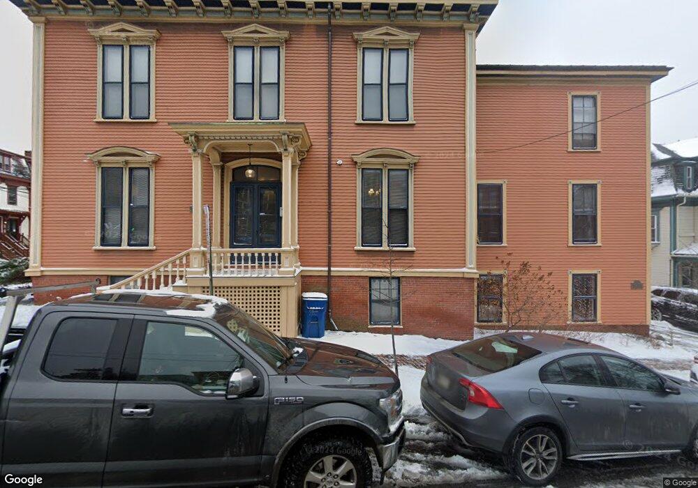
200 High St Portland, ME 04101
Parkside NeighborhoodEstimated Value: $2,305,357
--
Bed
--
Bath
7,892
Sq Ft
$292/Sq Ft
Est. Value
About This Home
This home is located at 200 High St, Portland, ME 04101 and is currently estimated at $2,305,357, approximately $292 per square foot. 200 High St is a home located in Cumberland County with nearby schools including Reiche Community School, King Middle School, and Baxter Academy for Tech & Sciences.
Ownership History
Date
Name
Owned For
Owner Type
Purchase Details
Closed on
Jun 13, 2017
Sold by
200 High St Portland Llc
Bought by
Engelmarsh Llc
Current Estimated Value
Home Financials for this Owner
Home Financials are based on the most recent Mortgage that was taken out on this home.
Original Mortgage
$1,046,250
Interest Rate
4.03%
Mortgage Type
Commercial
Create a Home Valuation Report for This Property
The Home Valuation Report is an in-depth analysis detailing your home's value as well as a comparison with similar homes in the area
Home Values in the Area
Average Home Value in this Area
Purchase History
| Date | Buyer | Sale Price | Title Company |
|---|---|---|---|
| Engelmarsh Llc | -- | -- |
Source: Public Records
Mortgage History
| Date | Status | Borrower | Loan Amount |
|---|---|---|---|
| Closed | Engelmarsh Llc | $1,046,250 |
Source: Public Records
Tax History Compared to Growth
Tax History
| Year | Tax Paid | Tax Assessment Tax Assessment Total Assessment is a certain percentage of the fair market value that is determined by local assessors to be the total taxable value of land and additions on the property. | Land | Improvement |
|---|---|---|---|---|
| 2024 | $13,563 | $903,600 | $296,600 | $607,000 |
| 2023 | $13,021 | $903,600 | $296,600 | $607,000 |
| 2022 | $12,298 | $903,600 | $296,600 | $607,000 |
| 2021 | $11,738 | $903,600 | $296,600 | $607,000 |
| 2020 | $9,690 | $415,700 | $150,500 | $265,200 |
| 2019 | $9,690 | $415,700 | $150,500 | $265,200 |
| 2018 | $9,000 | $415,700 | $150,500 | $265,200 |
| 2017 | $9,000 | $415,700 | $150,500 | $265,200 |
| 2016 | $8,775 | $415,700 | $150,500 | $265,200 |
| 2015 | $8,576 | $415,700 | $150,500 | $265,200 |
| 2014 | $8,314 | $415,700 | $150,500 | $265,200 |
Source: Public Records
Map
Nearby Homes
- 243 & 245 High St
- 240 State St Unit 4
- 49 Deering St
- 379 Cumberland Ave Unit 3
- 547 Congress St Unit 6
- 17 Pine St Unit 3
- 1 Horton Place
- 148 State St
- 104 Grant St Unit 203
- 104 Grant St Unit 403
- 50 Alder St
- 126 Winter St Unit 1
- 30 Dow St
- 749 Congress St Unit 5
- 3 Walker St Unit 4
- 21 Dow St Unit 4
- 124 Sherman St
- 15 Brown St Unit 401
- 15 Brown St Unit 405
- 773 Congress St Unit 3
- 439 Cumberland Ave
- 208 High St
- 210 High St
- 443 Cumberland Ave
- 212 High St
- 8 Sherman St
- 440 Cumberland Ave Unit 4
- 440 Cumberland Ave Unit 3
- 440 Cumberland Ave Unit 2
- 440 Cumberland Ave Unit 1
- 440 Cumberland Ave
- 440 Cumberland Ave Unit 5
- 442 Cumberland Ave Unit 6
- 442 Cumberland Ave Unit 5
- 446 Cumberland Ave
- 450 Cumberland Ave Unit 2
- 450 Cumberland Ave Unit 3
- 198 High St Unit 12
- 198 High St Unit 11
- 198 High St Unit 10