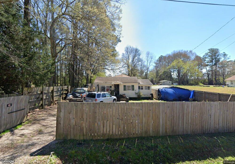
200 Johnston St Lagrange, GA 30241
Estimated Value: $115,000 - $200,000
4
Beds
2
Baths
1,740
Sq Ft
$89/Sq Ft
Est. Value
About This Home
This home is located at 200 Johnston St, Lagrange, GA 30241 and is currently estimated at $154,943, approximately $89 per square foot. 200 Johnston St is a home located in Troup County with nearby schools including Hollis Hand Elementary School, Franklin Forest Elementary School, and Ethel W. Kight Elementary School.
Ownership History
Date
Name
Owned For
Owner Type
Purchase Details
Closed on
Apr 12, 1999
Sold by
Bowman C
Bought by
Skipper Robert Keith
Current Estimated Value
Purchase Details
Closed on
Nov 1, 1988
Sold by
Jonhston J R Etal
Bought by
Bowman C
Purchase Details
Closed on
Jul 1, 1970
Sold by
Johnston J R
Bought by
Jonhston J R Etal
Purchase Details
Closed on
Sep 7, 1959
Sold by
Norris Thomas E
Bought by
Johnston J R
Create a Home Valuation Report for This Property
The Home Valuation Report is an in-depth analysis detailing your home's value as well as a comparison with similar homes in the area
Purchase History
| Date | Buyer | Sale Price | Title Company |
|---|---|---|---|
| Skipper Robert Keith | $32,000 | -- | |
| Bowman C | $9,500 | -- | |
| Jonhston J R Etal | -- | -- | |
| Johnston J R | -- | -- |
Source: Public Records
Tax History
| Year | Tax Paid | Tax Assessment Tax Assessment Total Assessment is a certain percentage of the fair market value that is determined by local assessors to be the total taxable value of land and additions on the property. | Land | Improvement |
|---|---|---|---|---|
| 2025 | $527 | $23,052 | $1,640 | $21,412 |
| 2024 | $441 | $18,148 | $1,640 | $16,508 |
| 2023 | $3 | $18,516 | $1,640 | $16,876 |
| 2022 | $407 | $16,556 | $1,640 | $14,916 |
| 2021 | $441 | $16,600 | $1,640 | $14,960 |
| 2020 | $449 | $16,880 | $1,640 | $15,240 |
| 2019 | $478 | $17,840 | $1,640 | $16,200 |
| 2018 | $434 | $16,384 | $1,664 | $14,720 |
| 2017 | $434 | $16,384 | $1,664 | $14,720 |
| 2016 | $450 | $16,920 | $1,664 | $15,256 |
| 2015 | $451 | $16,920 | $1,664 | $15,256 |
| 2014 | $416 | $15,736 | $1,664 | $14,072 |
| 2013 | -- | $13,004 | $1,664 | $11,340 |
Source: Public Records
Map
Nearby Homes
- 100 Dove Creek Ct
- 200 River Meadow Dr
- 302 Glenhaven Dr Unit 2D
- 503 Headwater Ct Unit 4D
- 113 Pine Cir
- 507 Headwater Ct Unit 6
- 502 Headwater Ct Unit 8D
- 109 Shenandoah Ln
- 111 Shenandoah Ln
- 106 Shenandoah Ln Unit 26E
- 106 Shenandoah Ln
- 240 River Meadow Dr
- 242 River Meadow Dr
- 249 River Meadow Dr
- 117 Shenandoah Ln Unit 22D
- 129 Mallory Dr
- 114 Shenandoah Ln
- 202 Freshwater Ct
- 204 Freshwater Ct
- 206 Freshwater Ct Unit 34E
Your Personal Tour Guide
Ask me questions while you tour the home.