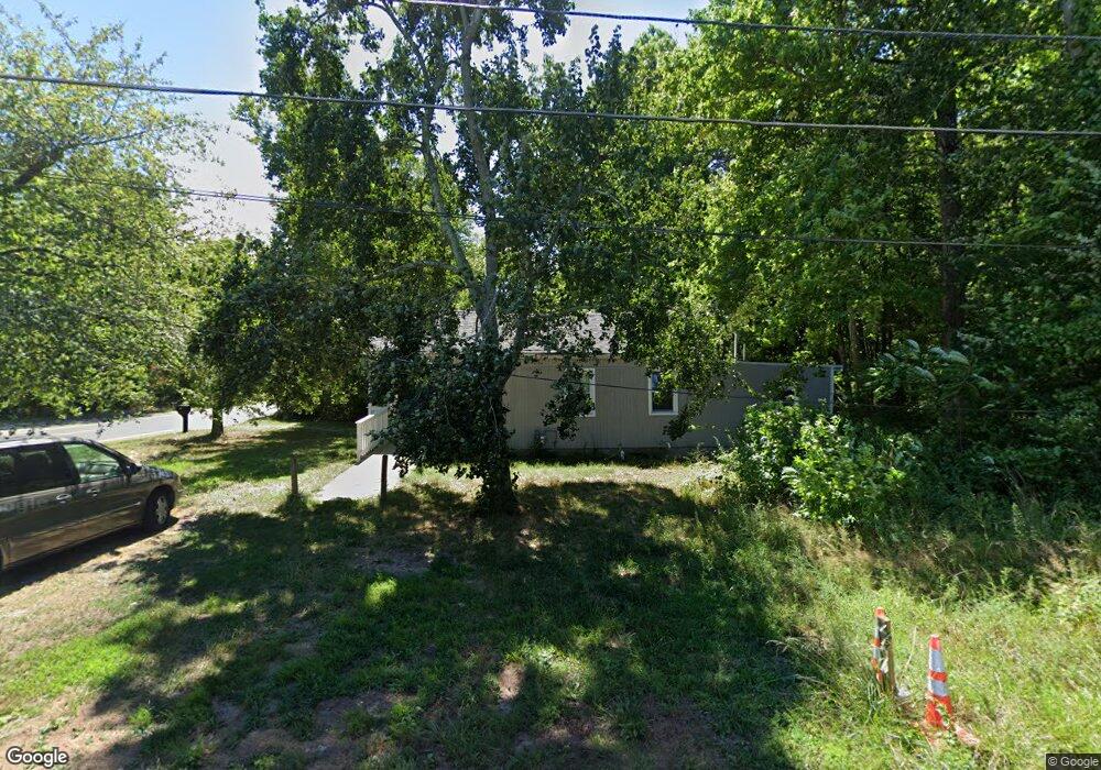
200 Junction Rd Browns Mills, NJ 08015
Estimated Value: $188,044 - $346,000
--
Bed
1
Bath
640
Sq Ft
$400/Sq Ft
Est. Value
About This Home
This home is located at 200 Junction Rd, Browns Mills, NJ 08015 and is currently estimated at $256,011, approximately $400 per square foot. 200 Junction Rd is a home located in Burlington County.
Ownership History
Date
Name
Owned For
Owner Type
Purchase Details
Closed on
Mar 3, 2021
Sold by
Rogo Homes Nj Llc
Bought by
Roth Abraham
Current Estimated Value
Home Financials for this Owner
Home Financials are based on the most recent Mortgage that was taken out on this home.
Original Mortgage
$90,000
Interest Rate
3.1%
Mortgage Type
Purchase Money Mortgage
Purchase Details
Closed on
Aug 17, 2018
Sold by
True Vine Memorial Baptist Churchs
Bought by
Rogo Homes Nj Llc
Purchase Details
Closed on
Jan 6, 1982
Bought by
True Vine Memorial Baptist Church
Create a Home Valuation Report for This Property
The Home Valuation Report is an in-depth analysis detailing your home's value as well as a comparison with similar homes in the area
Home Values in the Area
Average Home Value in this Area
Purchase History
| Date | Buyer | Sale Price | Title Company |
|---|---|---|---|
| Roth Abraham | -- | Boston National Ttl Agcy Llc | |
| Roth Abraham | -- | National Title Agency | |
| Rogo Homes Nj Llc | $25,000 | Riverside Abstract Llc | |
| True Vine Memorial Baptist Churchs | -- | Riverside Abstract Llc | |
| True Vine Memorial Baptist Church | -- | -- |
Source: Public Records
Mortgage History
| Date | Status | Borrower | Loan Amount |
|---|---|---|---|
| Previous Owner | Roth Abraham | $90,000 |
Source: Public Records
Tax History Compared to Growth
Tax History
| Year | Tax Paid | Tax Assessment Tax Assessment Total Assessment is a certain percentage of the fair market value that is determined by local assessors to be the total taxable value of land and additions on the property. | Land | Improvement |
|---|---|---|---|---|
| 2025 | $3,706 | $120,900 | $69,800 | $51,100 |
| 2024 | $3,477 | $120,900 | $69,800 | $51,100 |
| 2023 | $3,477 | $120,900 | $69,800 | $51,100 |
| 2022 | $3,218 | $120,900 | $69,800 | $51,100 |
| 2021 | $1,994 | $79,800 | $69,800 | $10,000 |
| 2020 | $2,580 | $105,000 | $69,800 | $35,200 |
| 2019 | $2,845 | $120,900 | $69,800 | $51,100 |
| 2018 | $0 | $120,900 | $69,800 | $51,100 |
| 2017 | $0 | $120,900 | $69,800 | $51,100 |
| 2016 | $0 | $74,900 | $37,600 | $37,300 |
| 2015 | -- | $74,900 | $37,600 | $37,300 |
| 2014 | -- | $74,900 | $37,600 | $37,300 |
Source: Public Records
Map
Nearby Homes
- 42 Monroe Ave
- 25 Railroad St
- 55 Columbus Ave
- 28 Scammell Dr
- 30 Press Ave
- 217 Coville Dr
- 511 Laurel Blvd
- 215 Coville Dr
- 136 S Lakeshore Dr
- 601 Concord Dr
- 304 Otter Ave
- 5 Chestnut Ave
- 204 Scammell Dr
- 108 Juliustown Rd
- 20 Coville Dr
- 120 Clubhouse Rd
- 12 Miller St
- 3399 Liberty St
- 3394 Liberty St
- 20 Carp Ln
- 200 Franklin St
- 300 Junction Rd
- 0 Franklin St Unit 1007432832
- 0 Franklin St Unit 5422489
- 0 Franklin St Unit NJBL2005936
- 131 Junction Rd
- 302 Junction Rd
- 130 Junction Rd
- 151 Lester St
- 218 Franklin St
- 147 Lester St
- 213 Lester St
- 119 Haines St
- 0 Haines St
- 139 Lester St
- 154 Arch St Unit B
- 154 Arch St
- 146 Arch St
- 221 Lester St
- 109 Haines St