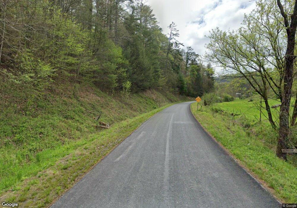
200 Ledford and Craine Rd Marshall, NC 28753
Estimated Value: $428,935 - $793,000
--
Bed
--
Bath
2,310
Sq Ft
$239/Sq Ft
Est. Value
About This Home
This home is located at 200 Ledford and Craine Rd, Marshall, NC 28753 and is currently estimated at $552,484, approximately $239 per square foot. 200 Ledford and Craine Rd is a home located in Madison County with nearby schools including Madison Middle School.
Ownership History
Date
Name
Owned For
Owner Type
Purchase Details
Closed on
Sep 20, 2018
Sold by
Pulleyn Robert and Pulleyn Robert Pulleyn
Bought by
Lombardo Francesco
Current Estimated Value
Home Financials for this Owner
Home Financials are based on the most recent Mortgage that was taken out on this home.
Original Mortgage
$116,000
Outstanding Balance
$99,528
Interest Rate
3.87%
Mortgage Type
Adjustable Rate Mortgage/ARM
Estimated Equity
$452,956
Create a Home Valuation Report for This Property
The Home Valuation Report is an in-depth analysis detailing your home's value as well as a comparison with similar homes in the area
Home Values in the Area
Average Home Value in this Area
Purchase History
| Date | Buyer | Sale Price | Title Company |
|---|---|---|---|
| Lombardo Francesco | $145,000 | None Available |
Source: Public Records
Mortgage History
| Date | Status | Borrower | Loan Amount |
|---|---|---|---|
| Open | Lombardo Francesco | $116,000 |
Source: Public Records
Tax History Compared to Growth
Tax History
| Year | Tax Paid | Tax Assessment Tax Assessment Total Assessment is a certain percentage of the fair market value that is determined by local assessors to be the total taxable value of land and additions on the property. | Land | Improvement |
|---|---|---|---|---|
| 2024 | $1,523 | $372,939 | $39,138 | $333,801 |
| 2023 | $867 | $137,320 | $23,715 | $113,605 |
| 2022 | $867 | $137,320 | $23,715 | $113,605 |
| 2021 | $867 | $137,320 | $23,715 | $113,605 |
| 2020 | $867 | $137,320 | $23,715 | $113,605 |
| 2019 | $890 | $132,748 | $17,825 | $114,923 |
| 2018 | $690 | $0 | $0 | $0 |
| 2017 | $1,341 | $0 | $0 | $0 |
| 2016 | $1,341 | $0 | $0 | $0 |
| 2015 | -- | $0 | $0 | $0 |
| 2014 | -- | $132,748 | $17,825 | $114,923 |
| 2013 | -- | $137,469 | $17,825 | $119,644 |
Source: Public Records
Map
Nearby Homes
- 759 and 755 Snelson Rd
- 8951 Us 25 70 Hwy
- 200 Sunrise Ridge
- 1305 Riddle Farm Rd
- 564 Upper Thomas Branch Rd
- 7881 Us 25 70 Hwy
- 691 Sandy Bottom Rd
- 0 Anderson Branch Rd
- 590 Sweet Water Rd
- 112 Moon Shadow Ln
- TBD Sweet Water Rd
- 255 Clearview Ln Unit 12
- 101 Red Maple Run Unit 1
- 12055 Us 25-70 Hwy
- 3942 Anderson Branch Rd
- 23 Katie's Rd
- 401 Moonbeam Crossing
- 176 Winterberry Dr Unit 17
- 71 Turkey Trot Trail Unit 16
- 200 Dry Branch Rd
- 200 Ledford and Craine Rd
- 54 Snelson Rd
- 48 Jimmys Dr
- 239 Snelson Rd
- 34 Jimmys Dr
- 278 Ledford and Craine Rd
- 150 Jimmys Dr
- 15 Jimmys Dr
- 390 Snelson Rd
- 311 Ledford and Craine Rd
- 9769 Us 25/70 Hwy
- 11 Jimmys Dr
- 9705 Us 25/70 Hwy
- 9705 Us Hwy 25 70
- 9631 Us 25/70 Hwy
- 234 Sharp Hollow Rd
- 272 Sharp Hollow Rd
- 465 Snelson Rd
- 468 Snelson Rd
- 201 Lower Brush Creek Rd
