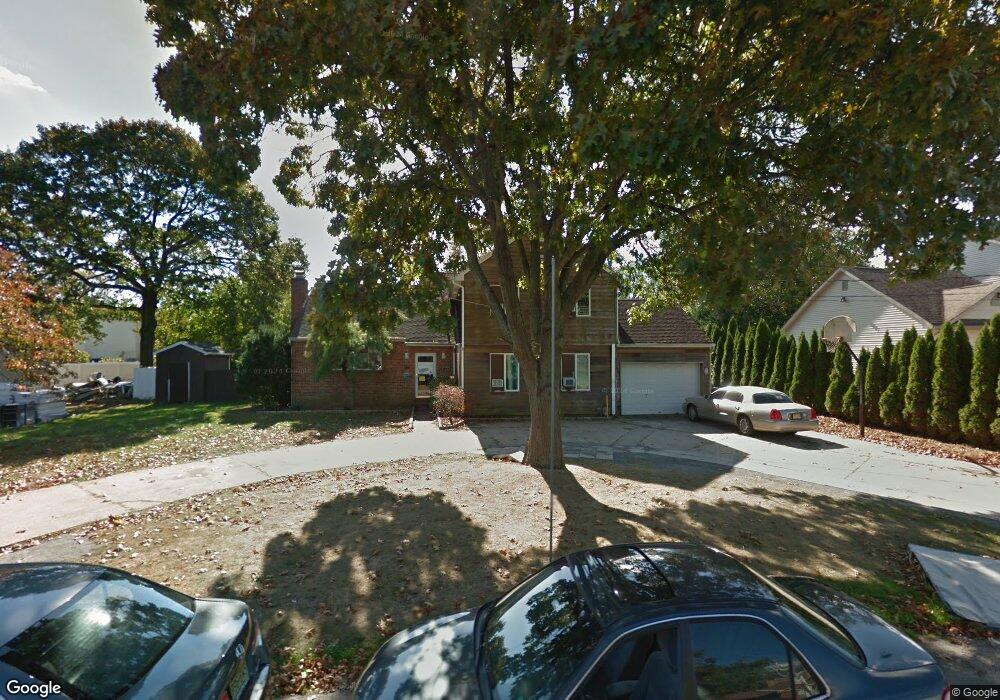
200 Lenox Ave Long Branch, NJ 07740
Estimated Value: $973,000
4
Beds
3
Baths
3,528
Sq Ft
$276/Sq Ft
Est. Value
About This Home
This home is located at 200 Lenox Ave, Long Branch, NJ 07740 and is currently priced at $973,000, approximately $275 per square foot. 200 Lenox Ave is a home located in Monmouth County with nearby schools including Long Branch High School, Holy Trinity School, and Bet Yaakov of the Jersey Shore.
Ownership History
Date
Name
Owned For
Owner Type
Purchase Details
Closed on
Feb 8, 2016
Sold by
Kaye Laurence
Bought by
Sephardic Torah Center
Current Estimated Value
Purchase Details
Closed on
Jun 30, 2005
Sold by
Hakim Jeanne
Bought by
Kaye Laurence
Home Financials for this Owner
Home Financials are based on the most recent Mortgage that was taken out on this home.
Original Mortgage
$650,000
Interest Rate
7.7%
Mortgage Type
Adjustable Rate Mortgage/ARM
Create a Home Valuation Report for This Property
The Home Valuation Report is an in-depth analysis detailing your home's value as well as a comparison with similar homes in the area
Home Values in the Area
Average Home Value in this Area
Purchase History
| Date | Buyer | Sale Price | Title Company |
|---|---|---|---|
| Sephardic Torah Center | $300,000 | None Available | |
| Kaye Laurence | $770,000 | -- |
Source: Public Records
Mortgage History
| Date | Status | Borrower | Loan Amount |
|---|---|---|---|
| Previous Owner | Kaye Laurence | $650,000 |
Source: Public Records
Tax History Compared to Growth
Tax History
| Year | Tax Paid | Tax Assessment Tax Assessment Total Assessment is a certain percentage of the fair market value that is determined by local assessors to be the total taxable value of land and additions on the property. | Land | Improvement |
|---|---|---|---|---|
| 2025 | -- | $1,399,700 | $819,600 | $580,100 |
| 2024 | -- | $1,148,400 | $593,600 | $554,800 |
| 2023 | -- | $1,088,200 | $558,600 | $529,600 |
| 2022 | $0 | $833,200 | $366,600 | $466,600 |
| 2021 | $11,861 | $742,900 | $306,600 | $436,300 |
| 2020 | $0 | $695,400 | $261,600 | $433,800 |
| 2019 | $11,861 | $615,200 | $201,600 | $413,600 |
| 2018 | $0 | $590,100 | $191,600 | $398,500 |
| 2017 | $11,460 | $575,500 | $184,600 | $390,900 |
| 2016 | $11,669 | $577,400 | $196,600 | $380,800 |
| 2015 | $12,890 | $578,800 | $158,600 | $420,200 |
| 2014 | $12,520 | $592,500 | $219,600 | $372,900 |
Source: Public Records
Map
Nearby Homes
- 631 Hoey Ave
- 211 Cedar Ave
- 266 Lenox Ave
- 65 Cedar Ave Unit C11
- 3 Reid St
- 294 Brighton Ave
- 45 Cedar Ave
- 665 2nd Ave Unit 202
- 665 2nd Ave Unit 310
- 665 2nd Ave Unit 303
- 665 2nd Ave Unit 201
- 35 Sternberger Ave Unit P
- 512 Sairs Ave
- 735 Greens Ave Unit 18A
- 345 Hollywood Ave
- 324 Cedar Ave
- 279 W West End Ave
- 107 W End Ave
- 717 Ocean Ave Unit 705
- 675 Ocean Ave Unit 9F