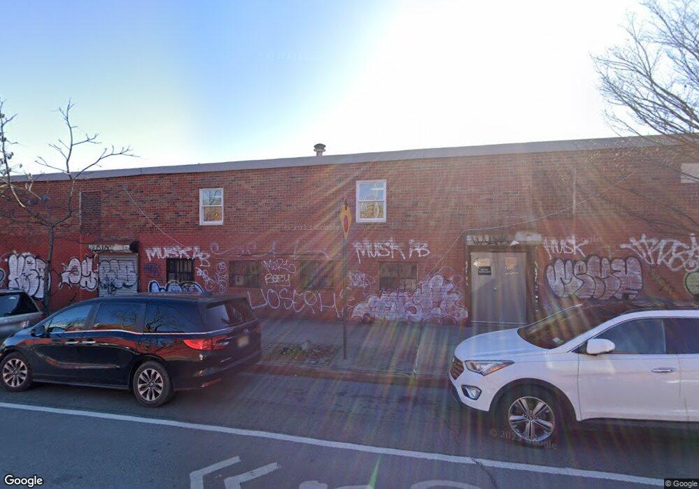
200 Liberty Ave Brooklyn, NY 11207
Brownsville NeighborhoodEstimated Value: $1,375,849
--
Bed
--
Bath
20,000
Sq Ft
$69/Sq Ft
Est. Value
About This Home
This home is located at 200 Liberty Ave, Brooklyn, NY 11207 and is currently estimated at $1,375,849, approximately $68 per square foot. 200 Liberty Ave is a home located in Kings County with nearby schools including J.H.S 292 Margaret S. Douglas, Uncommon Schools Leadership Preparatory Ocean Hill Charter School, and Trey Whitfield School.
Ownership History
Date
Name
Owned For
Owner Type
Purchase Details
Closed on
Aug 12, 2019
Sold by
Goldman Yoel
Bought by
Posen Jacob M
Current Estimated Value
Home Financials for this Owner
Home Financials are based on the most recent Mortgage that was taken out on this home.
Original Mortgage
$1,157,566
Outstanding Balance
$1,013,814
Interest Rate
3.7%
Mortgage Type
Purchase Money Mortgage
Estimated Equity
$362,035
Purchase Details
Closed on
Jun 2, 2011
Sold by
Guttman Aaron
Bought by
200 Liberty Avenue Llc
Create a Home Valuation Report for This Property
The Home Valuation Report is an in-depth analysis detailing your home's value as well as a comparison with similar homes in the area
Home Values in the Area
Average Home Value in this Area
Purchase History
| Date | Buyer | Sale Price | Title Company |
|---|---|---|---|
| Posen Jacob M | $1,100,000 | -- | |
| 200 Liberty Bh Llc | -- | -- | |
| Bh Liberty Member Llc | -- | -- | |
| 200 Liberty Avenue Llc | -- | -- |
Source: Public Records
Mortgage History
| Date | Status | Borrower | Loan Amount |
|---|---|---|---|
| Open | 200 Liberty Bh Llc | $1,157,566 |
Source: Public Records
Tax History Compared to Growth
Tax History
| Year | Tax Paid | Tax Assessment Tax Assessment Total Assessment is a certain percentage of the fair market value that is determined by local assessors to be the total taxable value of land and additions on the property. | Land | Improvement |
|---|---|---|---|---|
| 2025 | $62,707 | $718,650 | $202,500 | $516,150 |
| 2024 | $62,707 | $670,950 | $202,500 | $468,450 |
| 2023 | $61,139 | $633,150 | $202,500 | $430,650 |
| 2022 | $59,597 | $578,250 | $202,500 | $375,750 |
| 2021 | $50,096 | $468,450 | $202,500 | $265,950 |
| 2020 | $28,717 | $582,300 | $202,500 | $379,800 |
| 2019 | $51,959 | $582,300 | $202,500 | $379,800 |
| 2018 | $50,533 | $532,350 | $202,500 | $329,850 |
| 2017 | $46,670 | $468,450 | $202,500 | $265,950 |
| 2016 | $45,423 | $454,050 | $202,500 | $251,550 |
| 2015 | $18,780 | $433,800 | $202,500 | $231,300 |
| 2014 | $18,780 | $433,350 | $202,500 | $230,850 |
Source: Public Records
Map
Nearby Homes
- 45 Hinsdale St
- 22 Hinsdale St
- 1719 E New York Ave
- 2370 Atlantic Ave
- 2358 Pacific St
- 90 Sackman St
- 1782 Pitkin Ave
- 105 Belmont Ave
- 101 Belmont Ave
- 1451 Herkimer St
- 297 Hinsdale St
- 34&36 Marginal St
- 117 Osborn St
- 297 Pennsylvania Ave
- 2349 Dean St
- 2297 Pacific St
- 27 Monaco Place
- 2294 Atlantic Ave
- 317 Pennsylvania Ave
- 2337 Dean St
- 98 Snediker Ave
- 100 Snediker Ave
- 185 van Sinderen Ave
- 104 Snediker Ave
- 106 Snediker Ave
- 106 Snediker Ave Unit 3rd Fl
- 106 Snediker Ave Unit 2nd Fl
- 106 Snediker Ave Unit 1st Fl
- 106 Snediker Ave Unit 1
- 222 Liberty Ave
- 50 Snediker Ave
- 97 Snediker Ave
- 226 Liberty Ave
- 99 Snediker Ave
- 228 Liberty Ave
- 221 Glenmore Ave
- 64 Snediker Ave
- 105 Snediker Ave
- 103 Snediker Ave
- 230 Liberty Ave