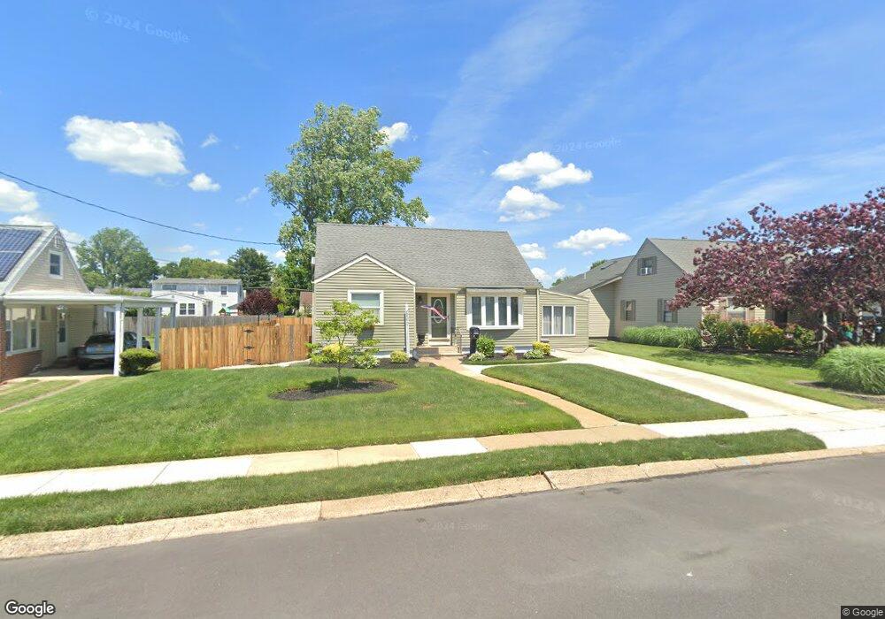
200 Lindsey Ave Runnemede, NJ 08078
Estimated Value: $297,426 - $337,000
--
Bed
--
Bath
1,252
Sq Ft
$253/Sq Ft
Est. Value
About This Home
This home is located at 200 Lindsey Ave, Runnemede, NJ 08078 and is currently estimated at $316,607, approximately $252 per square foot. 200 Lindsey Ave is a home located in Camden County with nearby schools including Mary E. Volz Elementary School, Downing Elementary School, and Triton High School.
Ownership History
Date
Name
Owned For
Owner Type
Purchase Details
Closed on
Oct 3, 2011
Sold by
Borough Of Runnemede
Bought by
Binck Edward R and Binck Reeves C
Current Estimated Value
Purchase Details
Closed on
May 25, 2001
Sold by
Estate Of Marietta E Armstrong
Bought by
Binck Edward R and Reeves Christine M
Home Financials for this Owner
Home Financials are based on the most recent Mortgage that was taken out on this home.
Original Mortgage
$74,399
Interest Rate
7.09%
Mortgage Type
FHA
Create a Home Valuation Report for This Property
The Home Valuation Report is an in-depth analysis detailing your home's value as well as a comparison with similar homes in the area
Home Values in the Area
Average Home Value in this Area
Purchase History
| Date | Buyer | Sale Price | Title Company |
|---|---|---|---|
| Binck Edward R | -- | -- | |
| Binck Edward R | $75,000 | -- |
Source: Public Records
Mortgage History
| Date | Status | Borrower | Loan Amount |
|---|---|---|---|
| Previous Owner | Binck Edward R | $74,399 |
Source: Public Records
Tax History Compared to Growth
Tax History
| Year | Tax Paid | Tax Assessment Tax Assessment Total Assessment is a certain percentage of the fair market value that is determined by local assessors to be the total taxable value of land and additions on the property. | Land | Improvement |
|---|---|---|---|---|
| 2025 | $6,304 | $139,900 | $46,200 | $93,700 |
| 2024 | $6,112 | $139,900 | $46,200 | $93,700 |
| 2023 | $6,112 | $139,900 | $46,200 | $93,700 |
| 2022 | $5,918 | $139,900 | $46,200 | $93,700 |
| 2021 | $5,778 | $139,900 | $46,200 | $93,700 |
| 2020 | $5,721 | $139,900 | $46,200 | $93,700 |
| 2019 | $5,616 | $139,900 | $46,200 | $93,700 |
| 2018 | $5,508 | $139,900 | $46,200 | $93,700 |
| 2017 | $5,367 | $139,900 | $46,200 | $93,700 |
| 2016 | $5,299 | $139,900 | $46,200 | $93,700 |
| 2015 | $5,315 | $139,900 | $46,200 | $93,700 |
| 2014 | $5,246 | $139,900 | $46,200 | $93,700 |
Source: Public Records
Map
Nearby Homes
- 200 Knight Ave
- 230 E Evesham Rd Unit B-1
- 14 E Evesham Rd
- 39 E 2nd Ave
- 30 12th Ave
- 1100 Central Ave
- 21 S Oakland Ave
- 200 E 9th Ave
- 141 Oak Ave
- 2400 Hartford Dr
- 41 Whaler Ave
- 43 Whaler Ave
- 45 Whaler Ave
- 47 Whaler Dr
- 810 Central Ave
- 400 N Black Horse Pike
- 27 Lillian Place
- 108 Schubert Ave
- 115 W 1st Ave
- 410 Sheffield Ct
- 204 Lindsey Ave
- 136 Lindsey Ave
- 201 Knight Ave
- 208 Lindsey Ave
- 205 Knight Ave
- 132 Lindsey Ave
- 141 Knight Ave
- 209 Knight Ave
- 137 Knight Ave
- 135 Lindsey Ave
- 135 Haverford Rd
- 126 Haverford Rd
- 212 Lindsey Ave
- 128 Lindsey Ave
- 213 Knight Ave
- 133 Knight Ave
- 115 Haverford Rd
- 216 Lindsey Ave
- 217 Knight Ave
- 124 Lindsey Ave