200 Lois Ln Sequim, WA 98382
Estimated Value: $476,000 - $532,742
Studio
2
Baths
1,283
Sq Ft
$390/Sq Ft
Est. Value
About This Home
This home is located at 200 Lois Ln, Sequim, WA 98382 and is currently estimated at $500,581, approximately $390 per square foot. 200 Lois Ln is a home located in Clallam County with nearby schools including Greywolf Elementary School, Sequim Middle School, and Sequim Senior High School.
Ownership History
Date
Name
Owned For
Owner Type
Purchase Details
Closed on
Dec 24, 2007
Sold by
Abel Owen E and Abel Douglas L
Bought by
Burkland William R and Burkland Barbara Abel
Current Estimated Value
Home Financials for this Owner
Home Financials are based on the most recent Mortgage that was taken out on this home.
Original Mortgage
$170,000
Outstanding Balance
$106,765
Interest Rate
6.15%
Mortgage Type
Purchase Money Mortgage
Estimated Equity
$393,816
Create a Home Valuation Report for This Property
The Home Valuation Report is an in-depth analysis detailing your home's value as well as a comparison with similar homes in the area
Purchase History
| Date | Buyer | Sale Price | Title Company |
|---|---|---|---|
| Burkland William R | $170,000 | Land Title And Escrow Co |
Source: Public Records
Mortgage History
| Date | Status | Borrower | Loan Amount |
|---|---|---|---|
| Open | Burkland William R | $170,000 |
Source: Public Records
Tax History
| Year | Tax Paid | Tax Assessment Tax Assessment Total Assessment is a certain percentage of the fair market value that is determined by local assessors to be the total taxable value of land and additions on the property. | Land | Improvement |
|---|---|---|---|---|
| 2025 | $3,127 | $401,183 | $168,188 | $232,995 |
| 2023 | $3,127 | $415,117 | $168,188 | $246,929 |
| 2022 | $2,916 | $393,179 | $146,250 | $246,929 |
| 2021 | $2,563 | $273,017 | $91,328 | $181,689 |
| 2020 | $2,690 | $256,624 | $91,328 | $165,296 |
| 2018 | $2,380 | $237,360 | $91,328 | $146,032 |
| 2017 | $2,089 | $218,189 | $91,328 | $126,861 |
| 2016 | $1,978 | $218,229 | $91,328 | $126,901 |
| 2015 | $2,044 | $201,222 | $91,328 | $109,894 |
| 2013 | $2,044 | $191,232 | $91,328 | $99,904 |
| 2012 | $2,044 | $201,379 | $101,475 | $99,904 |
Source: Public Records
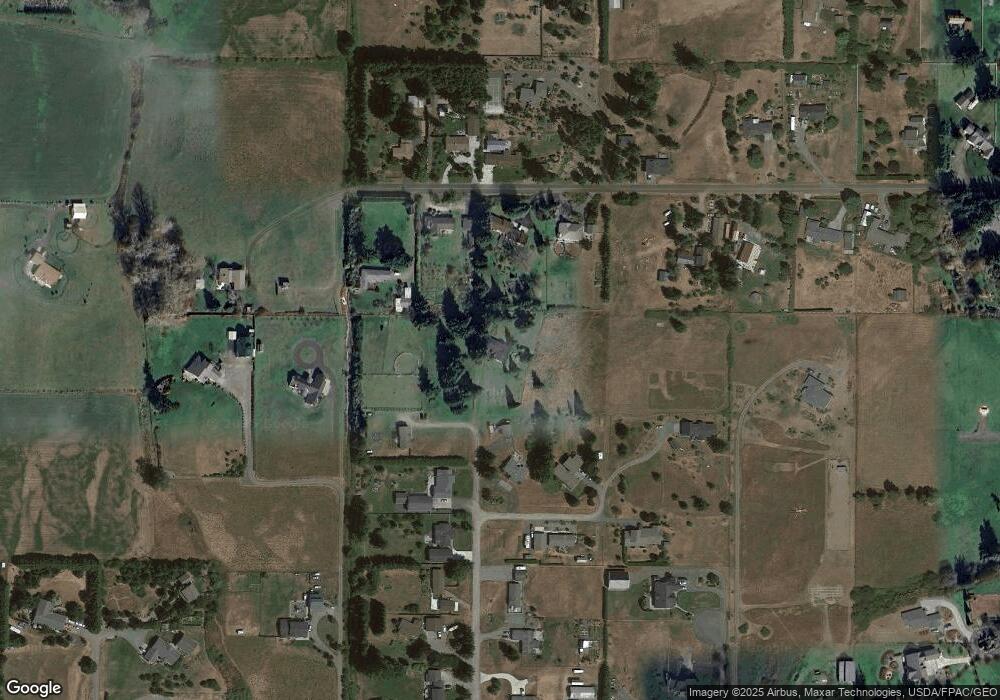
Map
Nearby Homes
- TBD Wright Rd
- 161 Sims Ln
- 787 N Kendall Rd
- 0 Lot 3 N Mariott Ave
- 747 W Heritage Loop
- 109 N Honeycomb Cir
- 642 N 7th Ave
- 628 N 7th Ave Unit 12
- 628 N 7th Ave Unit 628 N Seventh
- 669 W Hendrickson Rd Unit 4
- 669 W Hendrickson Rd Unit 2
- 669 W Hendrickson Rd Unit 7
- 669 W Hendrickson Rd Unit 1
- 669 W Hendrickson Rd Unit 5
- 669 W Hendrickson Rd Unit 3
- 669 W Hendrickson Rd Unit 8
- 669 W Hendrickson Rd Unit 6
- 1014 N Minstrel Rd
- 42 Juniper Mobile Estate
- 540 N 7th Ave Unit 54
- 531 Williamson Rd
- 162 Lois Ln
- 521 Williamson Rd
- 581 Williamson Rd
- 144 Lois Ln
- 593 Williamson Rd
- 151 Lois Ln
- 550 Williamson Rd
- 131 Lois Ln
- 453 Williamson Rd
- 560 Williamson Rd
- 148 Lois Ln
- xxxx Lois Ln Unit xxxx Hendrickson Roa
- 146 Lois Ln
- 470 Williamson Rd
- 101 Lois Ln
- 1648 W Hendrickson Rd
- 625 Williamson Rd
- 423 Williamson Rd
Your Personal Tour Guide
Ask me questions while you tour the home.