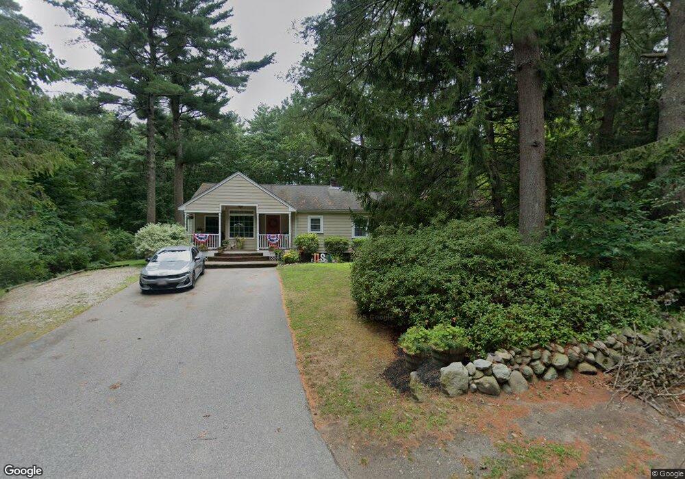
200 Main St Hanover, MA 02339
Estimated Value: $616,000 - $777,369
3
Beds
2
Baths
1,622
Sq Ft
$450/Sq Ft
Est. Value
About This Home
This home is located at 200 Main St, Hanover, MA 02339 and is currently estimated at $729,842, approximately $449 per square foot. 200 Main St is a home located in Plymouth County with nearby schools including Hanover High School, The Master's Academy, and Cardinal Cushing Centers.
Ownership History
Date
Name
Owned For
Owner Type
Purchase Details
Closed on
Sep 1, 1993
Sold by
Carrigan Phillip F and Carrigan Mary C
Bought by
Flamos Nicholas S and Lanzetta Patricia A
Current Estimated Value
Create a Home Valuation Report for This Property
The Home Valuation Report is an in-depth analysis detailing your home's value as well as a comparison with similar homes in the area
Home Values in the Area
Average Home Value in this Area
Purchase History
We collect this data history from publicly available records. To have your information removed, we recommend requesting removal directly through your county’s website.
| Date | Buyer | Sale Price | Title Company |
|---|---|---|---|
| Flamos Nicholas S | $152,000 | -- |
Source: Public Records
Mortgage History
We collect this data history from publicly available records. To have your information removed, we recommend requesting removal directly through your county’s website.
| Date | Status | Borrower | Loan Amount |
|---|---|---|---|
| Open | Flamos Nicholas S | $298,000 | |
| Closed | Flamos Nicholas S | $310,000 | |
| Closed | Flamos Nicholas S | $80,000 | |
| Closed | Flamos Nicholas S | $218,000 |
Source: Public Records
Tax History
| Year | Tax Paid | Tax Assessment Tax Assessment Total Assessment is a certain percentage of the fair market value that is determined by local assessors to be the total taxable value of land and additions on the property. | Land | Improvement |
|---|---|---|---|---|
| 2025 | $8,249 | $667,900 | $340,800 | $327,100 |
| 2024 | $8,576 | $667,900 | $340,800 | $327,100 |
| 2023 | $8,098 | $600,300 | $310,500 | $289,800 |
| 2022 | $6,870 | $450,500 | $259,600 | $190,900 |
| 2021 | $7,048 | $431,600 | $236,500 | $195,100 |
| 2020 | $6,955 | $426,400 | $236,500 | $189,900 |
| 2019 | $6,653 | $405,400 | $236,500 | $168,900 |
| 2018 | $6,491 | $398,700 | $236,500 | $162,200 |
| 2017 | $6,441 | $389,900 | $241,700 | $148,200 |
| 2016 | $6,210 | $368,300 | $220,100 | $148,200 |
| 2015 | $5,988 | $370,800 | $239,700 | $131,100 |
Source: Public Records
Map
Nearby Homes
- 286 Mayflower Cir
- 28 Lantern Ln
- 16 Cervelli Farm Dr
- 51 Cervelli Farm Dr
- 23 Cervelli Farm Dr
- 569 Main St
- 305 Hanover St
- 15 Rockland St
- 20 Jackson Rd
- 392 Cedar St
- 114 Graham Hill Dr
- 99 Karen Rd
- 15 Saddle Ln
- 127 King St
- 300 Water St
- 110 Country Rd
- 183 Whiting St
- 823 Market St
- 20 Meadow Brook Rd
- 112 River Rd
- 212 Main St
- 325 Grove St
- 178 Main St
- 190 Main St
- 313 Grove St
- 340 Grove St
- 328 Grove St
- 166 Main St
- 11 Colonial Dr
- 232 Main St
- 297 Grove St
- 156 Main St
- 161 Main St
- 239 Main St
- Lot 2 Tolman Rd
- Lot 3 Sunset Point Rd
- Lot One Bard Rock
- Lot 2 Great Acres Estates
- lot Great Acre Estates
- lot 2 Great Acre Estates
Your Personal Tour Guide
Ask me questions while you tour the home.