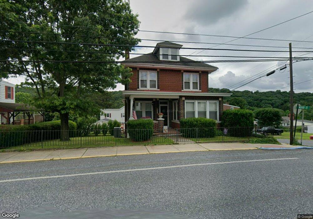
200 Market St Cumbola, PA 17930
Estimated Value: $158,000 - $206,949
3
Beds
3
Baths
2,362
Sq Ft
$79/Sq Ft
Est. Value
About This Home
This home is located at 200 Market St, Cumbola, PA 17930 and is currently estimated at $186,737, approximately $79 per square foot. 200 Market St is a home with nearby schools including Saint Clair Area Elementary/Middle School, Gillingham Charter School, and ASSUMPTION BVM SCHOOL.
Ownership History
Date
Name
Owned For
Owner Type
Purchase Details
Closed on
Dec 5, 2019
Sold by
Zimmerman Jeffrey T and Zimmerman Nikki C
Bought by
Zimmerman Jeffrey T
Current Estimated Value
Purchase Details
Closed on
May 28, 2015
Sold by
Schwope Deborah A
Bought by
Zimmerman Jeffrey T
Home Financials for this Owner
Home Financials are based on the most recent Mortgage that was taken out on this home.
Original Mortgage
$98,188
Outstanding Balance
$75,777
Interest Rate
3.65%
Mortgage Type
FHA
Estimated Equity
$110,960
Purchase Details
Closed on
Jun 26, 2013
Sold by
Kraus Walter F and Kraus Sharon A
Bought by
Schwope Deborah A
Create a Home Valuation Report for This Property
The Home Valuation Report is an in-depth analysis detailing your home's value as well as a comparison with similar homes in the area
Home Values in the Area
Average Home Value in this Area
Purchase History
| Date | Buyer | Sale Price | Title Company |
|---|---|---|---|
| Zimmerman Jeffrey T | -- | None Available | |
| Zimmerman Jeffrey T | $100,000 | None Available | |
| Schwope Deborah A | $17,500 | None Available |
Source: Public Records
Mortgage History
| Date | Status | Borrower | Loan Amount |
|---|---|---|---|
| Open | Zimmerman Jeffrey T | $98,188 |
Source: Public Records
Tax History Compared to Growth
Tax History
| Year | Tax Paid | Tax Assessment Tax Assessment Total Assessment is a certain percentage of the fair market value that is determined by local assessors to be the total taxable value of land and additions on the property. | Land | Improvement |
|---|---|---|---|---|
| 2025 | $2,224 | $35,430 | $3,000 | $32,430 |
| 2024 | $2,109 | $35,430 | $3,000 | $32,430 |
| 2023 | $2,109 | $35,430 | $3,000 | $32,430 |
| 2022 | $2,109 | $35,430 | $3,000 | $32,430 |
| 2021 | $2,130 | $35,430 | $3,000 | $32,430 |
| 2020 | $2,130 | $35,430 | $3,000 | $32,430 |
| 2018 | $2,087 | $35,430 | $3,000 | $32,430 |
| 2017 | $1,972 | $35,430 | $3,000 | $32,430 |
| 2015 | -- | $35,430 | $3,000 | $32,430 |
| 2011 | -- | $35,430 | $0 | $0 |
Source: Public Records
Map
Nearby Homes
- 201 Market St
- 199 Market St
- 0 Ridge Rd
- 15 Alliance St
- 235 Valley St
- 4 Federal St
- 2 Ridgeside Dr
- 542 3rd St
- 500 3rd St
- 337 Coal St
- 5 E Washington St
- 25 N Coal St
- 219 Pike St
- 103 Market St
- 665 Port Carbon Saint Clair Hwy
- 0 Caroline Ave Unit PASK2022658
- 344 E Bacon St
- 702 & 698 Port Carbon St Clair Hwy
- 211 E Bacon St
- 1409 E Norwegian St