200 Marsh Cove Ln Stevensville, MD 21666
Estimated Value: $1,152,643 - $1,343,000
--
Bed
3
Baths
3,178
Sq Ft
$394/Sq Ft
Est. Value
About This Home
This home is located at 200 Marsh Cove Ln, Stevensville, MD 21666 and is currently estimated at $1,250,881, approximately $393 per square foot. 200 Marsh Cove Ln is a home located in Queen Anne's County with nearby schools including Matapeake Elementary School, Matapeake Middle School, and Kent Island High School.
Ownership History
Date
Name
Owned For
Owner Type
Purchase Details
Closed on
Sep 10, 1997
Sold by
Webster John H
Bought by
Houstian Henry and Houstian Christina
Current Estimated Value
Purchase Details
Closed on
Jun 10, 1991
Sold by
Kramer David T and Kramer Sally J
Bought by
Webster John H and Webster Shirley A
Purchase Details
Closed on
Feb 10, 1988
Sold by
Kent Fort Manor, Inc
Bought by
Kramer David T and Kramer Sally J
Home Financials for this Owner
Home Financials are based on the most recent Mortgage that was taken out on this home.
Original Mortgage
$202,500
Interest Rate
9.94%
Create a Home Valuation Report for This Property
The Home Valuation Report is an in-depth analysis detailing your home's value as well as a comparison with similar homes in the area
Home Values in the Area
Average Home Value in this Area
Purchase History
| Date | Buyer | Sale Price | Title Company |
|---|---|---|---|
| Houstian Henry | $363,000 | -- | |
| Webster John H | $355,000 | -- | |
| Kramer David T | $93,000 | -- |
Source: Public Records
Mortgage History
| Date | Status | Borrower | Loan Amount |
|---|---|---|---|
| Previous Owner | Kramer David T | $202,500 |
Source: Public Records
Tax History Compared to Growth
Tax History
| Year | Tax Paid | Tax Assessment Tax Assessment Total Assessment is a certain percentage of the fair market value that is determined by local assessors to be the total taxable value of land and additions on the property. | Land | Improvement |
|---|---|---|---|---|
| 2025 | $7,505 | $790,333 | $0 | $0 |
| 2024 | $7,241 | $762,267 | $0 | $0 |
| 2023 | $6,976 | $734,200 | $403,400 | $330,800 |
| 2022 | $6,976 | $734,200 | $403,400 | $330,800 |
| 2021 | $3,622 | $734,200 | $403,400 | $330,800 |
| 2020 | $7,647 | $791,100 | $478,400 | $312,700 |
| 2019 | $7,355 | $780,333 | $0 | $0 |
| 2018 | $7,039 | $769,567 | $0 | $0 |
| 2017 | $6,737 | $758,800 | $0 | $0 |
| 2016 | -- | $758,800 | $0 | $0 |
| 2015 | $2,594 | $758,800 | $0 | $0 |
| 2014 | $2,594 | $794,600 | $0 | $0 |
Source: Public Records
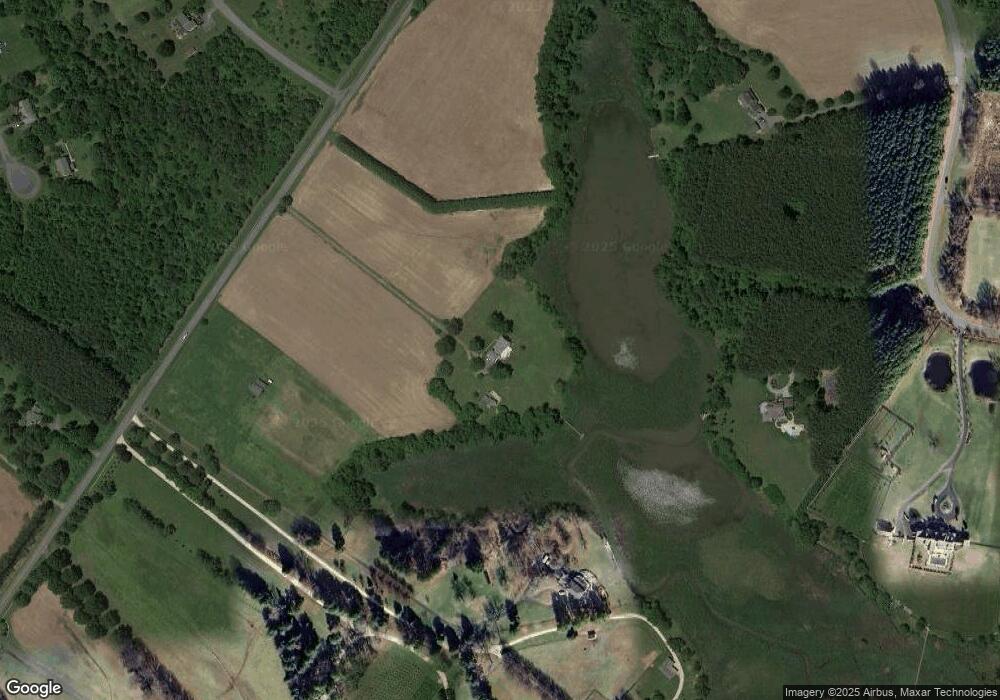
Map
Nearby Homes
- 200 Mallard Cove Ln
- 312 S Lake Dr
- 208 Tower Dr
- 231 Lighthouse View Dr
- 201 Beachside Dr
- 102 Golf Ct
- 145 N Lake Dr
- 0 Ackerman Dr
- Lot 8 Ackerman Dr
- 101 Beachside Dr
- 205 Lighthouse View Dr
- 114 N Lake Dr
- 118 N Lake Dr
- 214 Pennick Dr
- 210 Pennick Dr
- 213 Pennick Dr
- 203 Olive Branch Rd
- 216 Lighthouse View Dr
- 224 Long Point Rd
- 208 Long Point Rd
- 200 High Thicket Ln
- 314 Keene Farm Ln
- 0 the Pond Way Unit 522 1005257872
- 0 the Pond Way Unit 548 1005257390
- 0 the Pond Way Unit 412 1005534498
- 0 the Pond Way Unit 412 QA7180212
- 0 the Pond Way Unit 406 QA7029263
- 0 the Pond Way Unit 522 QA7029268
- 0 the Pond Way Unit 548 QA7029236
- 0 the Pond Way Unit 522 QA6701066
- 0 the Pond Way Unit 412 QA6618293
- 0 the Pond Way Unit 126 QA6589563
- 0 the Pond Way Unit 518 QA6779627
- 0 the Pond Way Unit 406 QA6618267
- 0 the Pond Way Unit 548 QA6589633
- 0 the Pond Way Unit 502 QA6757187
- 0 the Pond Way Unit 426 QA6618282
- 0 the Pond Way Unit 402 QA6589592
- 0 the Pond Way Unit 420 QA6589530
- 306 Keene Farm Ln