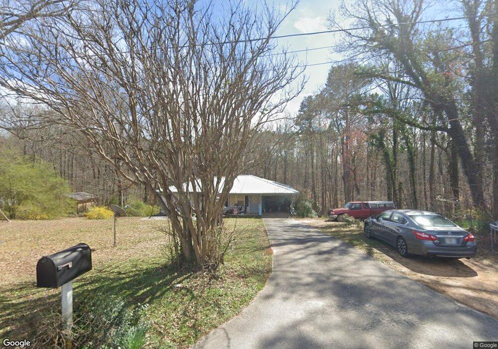
200 Mohawk Dr Tallapoosa, GA 30176
Estimated Value: $191,000 - $218,000
3
Beds
1
Bath
1,235
Sq Ft
$164/Sq Ft
Est. Value
About This Home
This home is located at 200 Mohawk Dr, Tallapoosa, GA 30176 and is currently estimated at $202,706, approximately $164 per square foot. 200 Mohawk Dr is a home located in Haralson County with nearby schools including Haralson County High School.
Ownership History
Date
Name
Owned For
Owner Type
Purchase Details
Closed on
Aug 16, 2019
Sold by
Tallapoosa River Properties Llc
Bought by
Hammock Jessica N
Current Estimated Value
Home Financials for this Owner
Home Financials are based on the most recent Mortgage that was taken out on this home.
Original Mortgage
$126,262
Outstanding Balance
$110,809
Interest Rate
3.8%
Mortgage Type
New Conventional
Estimated Equity
$91,897
Purchase Details
Closed on
May 17, 2019
Sold by
Williams Audrey R
Bought by
Tallapoosa River Properties Llc
Purchase Details
Closed on
Nov 1, 1986
Bought by
Williams Audrey Walker
Create a Home Valuation Report for This Property
The Home Valuation Report is an in-depth analysis detailing your home's value as well as a comparison with similar homes in the area
Home Values in the Area
Average Home Value in this Area
Purchase History
| Date | Buyer | Sale Price | Title Company |
|---|---|---|---|
| Hammock Jessica N | $125,000 | -- | |
| Tallapoosa River Properties Llc | $70,000 | -- | |
| Williams Audrey Walker | -- | -- |
Source: Public Records
Mortgage History
| Date | Status | Borrower | Loan Amount |
|---|---|---|---|
| Open | Hammock Jessica N | $126,262 |
Source: Public Records
Tax History Compared to Growth
Tax History
| Year | Tax Paid | Tax Assessment Tax Assessment Total Assessment is a certain percentage of the fair market value that is determined by local assessors to be the total taxable value of land and additions on the property. | Land | Improvement |
|---|---|---|---|---|
| 2024 | $1,261 | $40,036 | $5,088 | $34,948 |
| 2023 | $1,455 | $44,480 | $4,800 | $39,680 |
| 2022 | $946 | $36,641 | $4,800 | $31,841 |
| 2021 | $926 | $34,371 | $4,800 | $29,571 |
| 2020 | $757 | $35,487 | $4,800 | $30,687 |
| 2019 | $960 | $34,202 | $4,800 | $29,402 |
| 2018 | $971 | $34,202 | $4,800 | $29,402 |
| 2017 | $957 | $30,749 | $4,800 | $25,949 |
| 2016 | $851 | $29,215 | $4,800 | $24,415 |
| 2015 | $848 | $28,933 | $4,800 | $24,133 |
| 2014 | $958 | $31,733 | $7,600 | $24,133 |
Source: Public Records
Map
Nearby Homes
- 871 Cherokee Dr
- 0 Cherokee Dr Unit 148037
- 0 Creek Dr Unit 148038
- 174 Faye St
- 711 Kay St
- --- Steadman #32 Rd
- 194 Faye St
- 0 Steadman Rd Unit 10608314
- 35 James St
- 0 N Ridge Dr Unit 7657923
- 77 McDonald Rd
- 622 Cedartown Ave
- --- Steadman Rd Unit 32
- 154 Bethany St
- 28 McDonald Ridge
- 171 James St
- 324 Bethany St
- 164 Berlin St
- 135 Oakland Ct
- 78 Pine Dr
- 184 Mohawk Dr
- 218 Mohawk Dr Unit 7.67AC
- 218 Mohawk Dr
- 166 Mohawk Dr
- 0 Mohawk Dr Unit 7470455
- 0 Mohawk Dr Unit 9026491
- 0 Mohawk Dr Unit 7119903
- 0 Mohawk Dr Unit 7288466
- 171 Creek Dr
- 155 Mohawk Dr
- 233 Ray St
- 383 McDonald Rd
- 265 Ray St
- 156 Mohawk Dr
- 157 Creek Dr
- 221 Ray St
- 240 Ray St
- 27 Woodstream Ln
- 260 Ray St
- 143 Creek Dr