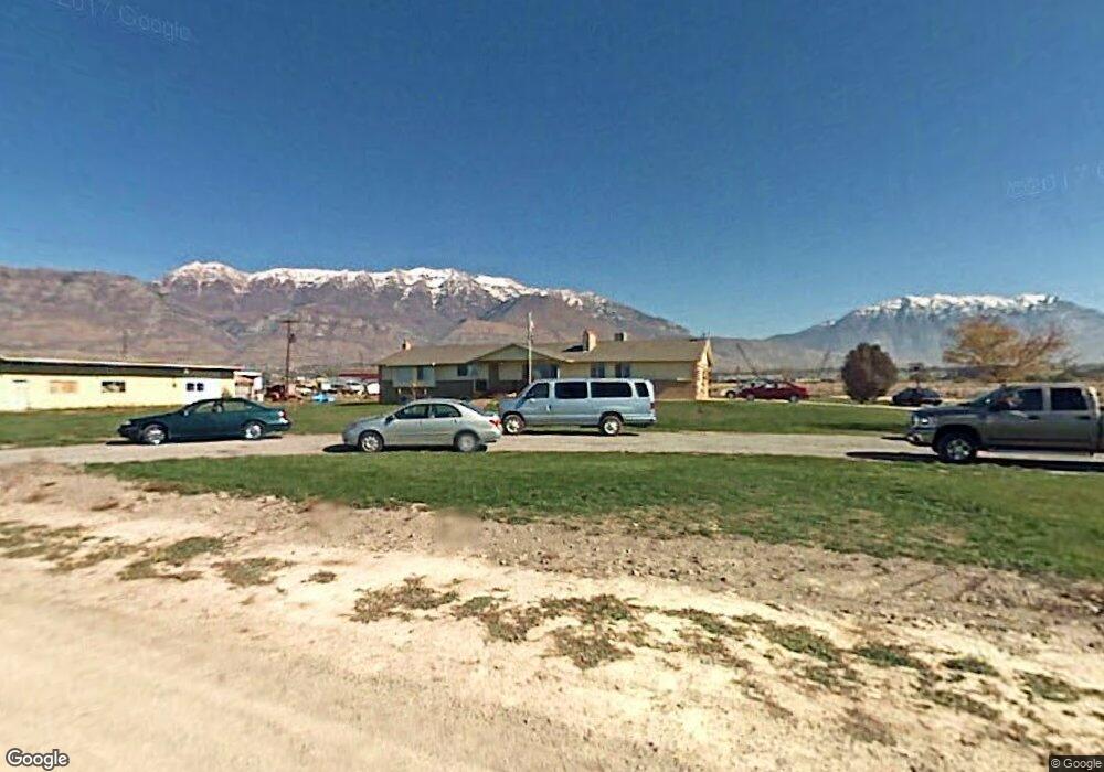
200 N Anderson Ln Lindon, UT 84042
Estimated Value: $862,000 - $1,137,000
6
Beds
3
Baths
3,600
Sq Ft
$269/Sq Ft
Est. Value
About This Home
This home is located at 200 N Anderson Ln, Lindon, UT 84042 and is currently estimated at $969,631, approximately $269 per square foot. 200 N Anderson Ln is a home located in Utah County with nearby schools including Aspen Elementary School, Oak Canyon Junior High School, and Pleasant Grove High School.
Ownership History
Date
Name
Owned For
Owner Type
Purchase Details
Closed on
Jul 9, 2015
Sold by
Lindon V Llc
Bought by
Jy Enterprises Lindon Llc
Current Estimated Value
Purchase Details
Closed on
May 3, 2005
Sold by
Wade Alan Fred and Wade Karen Lucille
Bought by
Lindon V Llc
Create a Home Valuation Report for This Property
The Home Valuation Report is an in-depth analysis detailing your home's value as well as a comparison with similar homes in the area
Home Values in the Area
Average Home Value in this Area
Purchase History
| Date | Buyer | Sale Price | Title Company |
|---|---|---|---|
| Jy Enterprises Lindon Llc | -- | Utah First Title Ins Ag | |
| Lindon V Llc | -- | Title West Title Company |
Source: Public Records
Tax History Compared to Growth
Tax History
| Year | Tax Paid | Tax Assessment Tax Assessment Total Assessment is a certain percentage of the fair market value that is determined by local assessors to be the total taxable value of land and additions on the property. | Land | Improvement |
|---|---|---|---|---|
| 2025 | $6,022 | $834,500 | $422,800 | $411,700 |
| 2024 | $6,022 | $741,300 | $0 | $0 |
| 2023 | $5,480 | $724,500 | $0 | $0 |
| 2022 | $5,534 | $706,800 | $424,800 | $282,000 |
| 2021 | $2,717 | $479,200 | $255,400 | $223,800 |
| 2020 | $2,532 | $440,000 | $228,900 | $211,100 |
| 2019 | $2,188 | $392,500 | $208,900 | $183,600 |
| 2018 | $2,213 | $372,500 | $188,900 | $183,600 |
| 2017 | $2,188 | $218,630 | $0 | $0 |
| 2016 | $2,205 | $203,800 | $0 | $0 |
| 2015 | $2,332 | $203,800 | $0 | $0 |
| 2014 | $1,338 | $172,070 | $0 | $0 |
Source: Public Records
Map
Nearby Homes
- 264 N Old Farm Ln
- 1437 W Stable St
- 1424 Gala Ln
- 337 N Brookview Dr
- 1277 W Sweet Corn Ln
- Kirkwood Farmhouse Plan at Anderson Farms
- Clairemont Traditional Plan at Anderson Farms
- Sundance Farmhouse Plan at Anderson Farms
- Montclair Traditional Plan at Anderson Farms
- Aspen Plan at Anderson Farms - Towns
- Sundance Ballpark Plan at Anderson Farms
- Keystone Ballpark Plan at Anderson Farms
- Washington Farmhouse Plan at Anderson Farms
- 2050 Farmhouse Plan at Anderson Farms
- Cypress Plan at Anderson Farms - Towns
- Magnolia Plan at Anderson Farms - Towns
- 556 N Buffalo Grass Ln
- 566 N Buffalo Grass Ln
- 554 N Buffalo Grass Ln
- 570 N Buffalo Grass Ln
- 188 N Old Farm Ln
- 194 N Old Farm Ln
- 198 N Old Farm Ln
- 1423 W Kelsey Way
- 208 N Old Farm Ln
- 1428 W Kelsey Way
- 1429 W Kelsey Way
- 218 N Old Farm Ln
- 1429 W Kelsey Way
- 1427 W Stable St
- 228 N Old Farm Ln
- 1430 W Kelsey Way
- 1431 W Kelsey Way
- 1429 W Stable St
- 1426 W Stable St
- 1433 W Kelsey Way
- 1432 W Kelsey Way
- 237 N Old Farm Ln
- 1428 W Stable St
- 1433 W Stable St