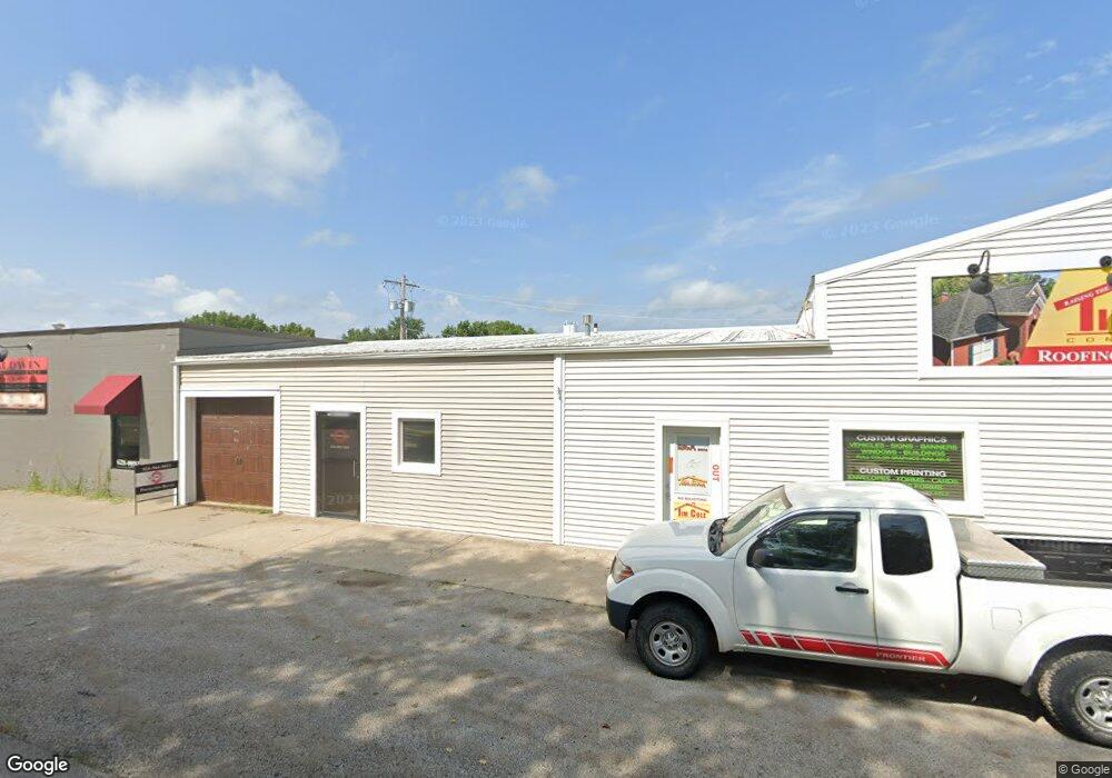
200 N Jefferson St Kearney, MO 64060
Studio
--
Bath
400
Sq Ft
18,731
Sq Ft Lot
About This Home
This home is located at 200 N Jefferson St, Kearney, MO 64060. 200 N Jefferson St is a home located in Clay County with nearby schools including Kearney Junior High School, Kearney High School, and Northern Hills Christian Academy.
Ownership History
Date
Name
Owned For
Owner Type
Purchase Details
Closed on
Oct 21, 2015
Sold by
Carney Charles and Carney Jean H
Bought by
Cole Timothy J and Cole Meredith
Home Financials for this Owner
Home Financials are based on the most recent Mortgage that was taken out on this home.
Original Mortgage
$134,616
Outstanding Balance
$107,746
Interest Rate
4.4%
Mortgage Type
FHA
Purchase Details
Closed on
Oct 4, 2010
Sold by
Hampton Larry D and Hampton Karen J
Bought by
Tim Cole Properties L L C
Purchase Details
Closed on
Jan 5, 2007
Sold by
Hampton Larry D and Hampton Karen J
Bought by
Larry Hampton Properties Llc
Create a Home Valuation Report for This Property
The Home Valuation Report is an in-depth analysis detailing your home's value as well as a comparison with similar homes in the area
Home Values in the Area
Average Home Value in this Area
Purchase History
| Date | Buyer | Sale Price | Title Company |
|---|---|---|---|
| Cole Timothy J | -- | Kansas City Title Inc | |
| Tim Cole Properties L L C | -- | Missouri Secured Title | |
| Tim Cole Properties L L C | -- | Missouri Secured Title | |
| Larry Hampton Properties Llc | -- | None Available |
Source: Public Records
Mortgage History
| Date | Status | Borrower | Loan Amount |
|---|---|---|---|
| Open | Cole Timothy J | $134,616 |
Source: Public Records
Tax History
| Year | Tax Paid | Tax Assessment Tax Assessment Total Assessment is a certain percentage of the fair market value that is determined by local assessors to be the total taxable value of land and additions on the property. | Land | Improvement |
|---|---|---|---|---|
| 2025 | $4,867 | $64,320 | -- | -- |
| 2024 | $4,867 | $58,850 | -- | -- |
| 2023 | $4,867 | $58,850 | $0 | $0 |
| 2022 | $4,256 | $49,180 | $0 | $0 |
| 2021 | $4,187 | $49,178 | $18,560 | $30,618 |
| 2020 | $4,299 | $46,720 | $0 | $0 |
| 2019 | $4,280 | $46,720 | $0 | $0 |
Source: Public Records
Map
Nearby Homes
- 102 W Lawrence St
- 9900 NE 172nd St
- 201 S Marimack Dr
- 200 E 10th St
- 303 W 11th St
- 307 W 11th Terrace
- 905 Susan St
- 1302 Regency Dr
- 1304 S Jefferson St
- 972 W Innovation Dr
- 1202 Noah's Ln
- 1204 Noah's Ln
- 1209 Noah's Ln
- 402 E 14th St
- 1300 Robin Cir
- 623 E 13th St
- 1200 W 10th Ave
- 1307 Stonecrest Dr
- 1505 Emerald Cir
- 1300 Melissa Ct
- 100 E Main St
- 100 E Main St Unit A
- 103 W Major St
- 102 E Main St
- 105 W Main St
- 101 E Major St
- 104 E Main St
- 107 W Main St
- 101 N Jefferson St
- 103 E Major St
- 107 W Major St
- 107 W Major St
- 102 N Jefferson St
- 201 N Clark St
- 206 & 208 Main St N
- 106 W Washington St
- 102 W Major St
- 105 E Major St
- 106 E Main St
- 111 W Major St
Your Personal Tour Guide
Ask me questions while you tour the home.