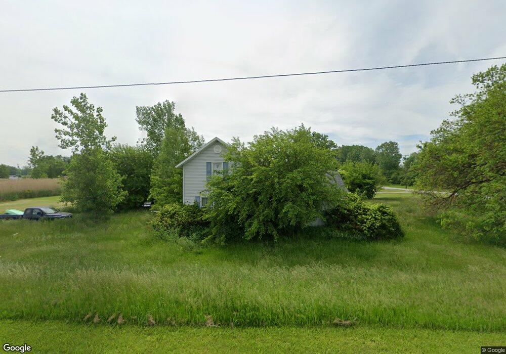
200 N Tettau Rd Port Clinton, OH 43452
Estimated Value: $116,033 - $219,000
3
Beds
1
Bath
1,278
Sq Ft
$119/Sq Ft
Est. Value
About This Home
This home is located at 200 N Tettau Rd, Port Clinton, OH 43452 and is currently estimated at $152,008, approximately $118 per square foot. 200 N Tettau Rd is a home with nearby schools including Bataan Memorial Primary School, Bataan Memorial Intermediate School, and Port Clinton Middle School.
Ownership History
Date
Name
Owned For
Owner Type
Purchase Details
Closed on
Dec 15, 2022
Sold by
Myosky Shea
Bought by
Tax Ease Oh V Llc
Current Estimated Value
Purchase Details
Closed on
Dec 13, 2014
Sold by
Whitfield William D and Whitfield Ann C
Bought by
Myosky Shea
Purchase Details
Closed on
Nov 28, 2012
Sold by
Whitfield William D and Whitfield Jean M
Bought by
Whitfield William D and Whitfield Ann C
Purchase Details
Closed on
Jan 19, 2012
Sold by
Whitfield Jean M and Whitfield William D
Bought by
Whitfield Jean M and Whitfield William D
Create a Home Valuation Report for This Property
The Home Valuation Report is an in-depth analysis detailing your home's value as well as a comparison with similar homes in the area
Home Values in the Area
Average Home Value in this Area
Purchase History
| Date | Buyer | Sale Price | Title Company |
|---|---|---|---|
| Tax Ease Oh V Llc | $3,561 | -- | |
| Myosky Shea | -- | Attorney | |
| Whitfield William D | -- | Attorney | |
| Whitfield Jean M | -- | Attorney |
Source: Public Records
Tax History Compared to Growth
Tax History
| Year | Tax Paid | Tax Assessment Tax Assessment Total Assessment is a certain percentage of the fair market value that is determined by local assessors to be the total taxable value of land and additions on the property. | Land | Improvement |
|---|---|---|---|---|
| 2024 | $779 | $22,138 | $9,825 | $12,313 |
| 2023 | $742 | $16,629 | $7,014 | $9,615 |
| 2022 | $618 | $16,629 | $7,014 | $9,615 |
| 2021 | $618 | $16,630 | $7,020 | $9,610 |
| 2020 | $564 | $14,550 | $6,050 | $8,500 |
| 2019 | $558 | $14,550 | $6,050 | $8,500 |
| 2018 | $557 | $14,550 | $6,050 | $8,500 |
| 2017 | $876 | $22,500 | $5,870 | $16,630 |
| 2016 | $878 | $22,500 | $5,870 | $16,630 |
| 2015 | $1,303 | $22,500 | $5,870 | $16,630 |
| 2014 | $420 | $21,670 | $5,870 | $15,800 |
| 2013 | $842 | $21,670 | $5,870 | $15,800 |
Source: Public Records
Map
Nearby Homes
- 265 S Meachem Rd
- 265 S Meachem Rd Unit 62
- 265 S Meachem Rd Unit 24
- 265 S Meachem Rd Unit 41
- 265 S Meachem Rd Unit 39
- 295 Meachem Rd
- 3800 W Lakeshore Dr
- 5225 W Lakeshore Dr
- 141 N Wexford Dr E
- 2915 W Rising Sun Rd
- 2915 W Risingsun Rd
- 2860 W Rising Sun Rd
- 6991 W Lakeshore Dr
- 2738 W Columbus St
- 2400 Sandy Ln
- 1805 W Lakeshore Dr Unit 3
- 1805 W Lakeshore Dr
- 7723 W Little Portage Rd E
- 89 N Schooner Point Dr Unit 89
- 51 N Schooner Point Dr
- 5410 W Railroad St
- 5485 W Erie St
- 36 N Tettau Rd
- 5500 Erie St
- 182 Monroe St
- 26 N Tettau Rd
- 5545 W Erie St
- 5540 W Railroad St
- 5540 W Erie St
- 99 N Ontario St
- 5555 W Erie St
- 5550 W Railroad St
- 5431 West Harbor Rd
- 5550 Railroad St
- 5493 West Harbor Rd
- 121 N Ontario St
- 5431 W Harbor Rd
- 150 N Ontario St
- 5570 W Railroad St
- 0 Tettau St Unit 20223307