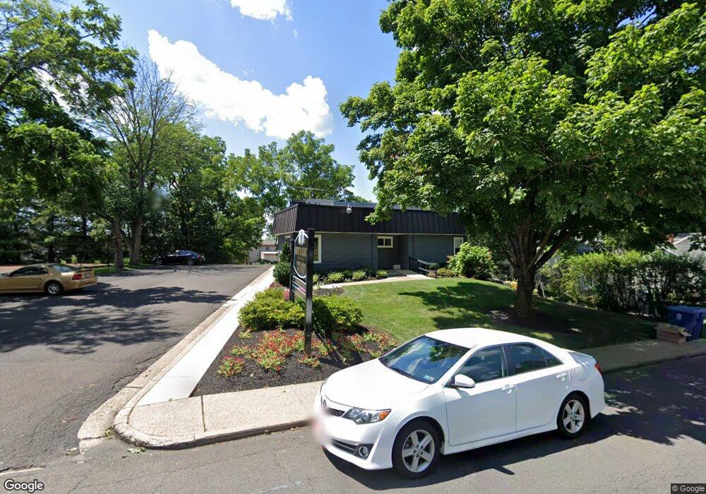
200 N West St Doylestown, PA 18901
Estimated Value: $727,000 - $930,000
3
Beds
2
Baths
2,151
Sq Ft
$387/Sq Ft
Est. Value
About This Home
This home is located at 200 N West St, Doylestown, PA 18901 and is currently estimated at $831,424, approximately $386 per square foot. 200 N West St is a home located in Bucks County with nearby schools including Doyle El School, Lenape Middle School, and Central Bucks High School-West.
Ownership History
Date
Name
Owned For
Owner Type
Purchase Details
Closed on
Nov 18, 2008
Sold by
Valdes Carlos and Pinto Tina
Bought by
Crane Peter
Current Estimated Value
Home Financials for this Owner
Home Financials are based on the most recent Mortgage that was taken out on this home.
Original Mortgage
$400,000
Outstanding Balance
$185,156
Interest Rate
6.47%
Mortgage Type
Purchase Money Mortgage
Estimated Equity
$646,268
Create a Home Valuation Report for This Property
The Home Valuation Report is an in-depth analysis detailing your home's value as well as a comparison with similar homes in the area
Home Values in the Area
Average Home Value in this Area
Purchase History
| Date | Buyer | Sale Price | Title Company |
|---|---|---|---|
| Crane Peter | $500,000 | None Available |
Source: Public Records
Mortgage History
| Date | Status | Borrower | Loan Amount |
|---|---|---|---|
| Open | Crane Peter | $400,000 |
Source: Public Records
Tax History Compared to Growth
Tax History
| Year | Tax Paid | Tax Assessment Tax Assessment Total Assessment is a certain percentage of the fair market value that is determined by local assessors to be the total taxable value of land and additions on the property. | Land | Improvement |
|---|---|---|---|---|
| 2025 | $4,900 | $27,200 | $10,400 | $16,800 |
| 2024 | $4,900 | $27,200 | $10,400 | $16,800 |
| 2023 | $4,668 | $27,200 | $10,400 | $16,800 |
| 2022 | $4,604 | $27,200 | $10,400 | $16,800 |
| 2021 | $4,553 | $27,200 | $10,400 | $16,800 |
| 2020 | $4,503 | $27,200 | $10,400 | $16,800 |
| 2019 | $4,453 | $27,200 | $10,400 | $16,800 |
| 2018 | $4,399 | $27,200 | $10,400 | $16,800 |
| 2017 | $4,353 | $27,200 | $10,400 | $16,800 |
| 2016 | $4,353 | $27,200 | $10,400 | $16,800 |
| 2015 | -- | $27,200 | $10,400 | $16,800 |
| 2014 | -- | $27,200 | $10,400 | $16,800 |
Source: Public Records
Map
Nearby Homes
- 215 N Franklin St
- 333 Dorset Ct Unit 333
- 37 N Clinton St
- 195 Lafayette St
- 259 W Ashland St
- 9 Mill Creek Dr
- 20 E Court St
- 69 E Oakland Ave
- 169 N Main St
- 146 N Church St
- 4 Barnes Ct
- 110 E Ashland St
- 146 E Court St
- 236 Green St
- 155 E Oakland Ave
- 4 Old Colonial Dr Unit 254
- 403 S Main St Unit S201
- 1 Gatehouse Ln
- 89 Homestead Dr
- 450 Ford Hook Rd
- 225 N West St
- 375 Penn St
- 244 N West St
- 229 N West St
- 220 N West St
- 211 N West St Unit 211B
- 211 N West St Unit 211A
- 211 N West St
- 359 Doyle St
- 246 N West St
- 243 N West St
- 212 N West St
- 303 W State St
- 303 W State St Unit 221
- 303 W State St Unit 128
- 303 W State St Unit 218
- 303 W State St Unit 216
- 303 W State St Unit 127
- 303 W State St Unit 224
- 303 W State St Unit 104