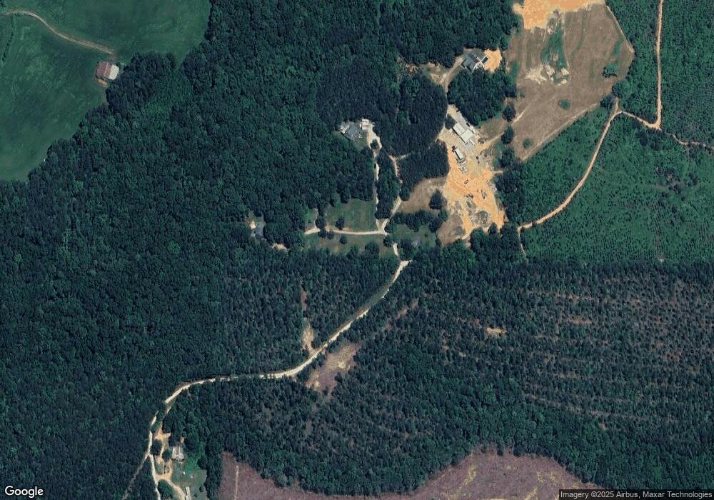
200 Newborn Rd Buchanan, GA 30113
Estimated Value: $278,397 - $324,000
3
Beds
2
Baths
1,296
Sq Ft
$227/Sq Ft
Est. Value
About This Home
This home is located at 200 Newborn Rd, Buchanan, GA 30113 and is currently estimated at $294,799, approximately $227 per square foot. 200 Newborn Rd is a home located in Haralson County with nearby schools including Haralson County High School.
Ownership History
Date
Name
Owned For
Owner Type
Purchase Details
Closed on
Aug 9, 2013
Sold by
Newborn Brandon Wayne
Bought by
Newborn Stacey Lee
Current Estimated Value
Home Financials for this Owner
Home Financials are based on the most recent Mortgage that was taken out on this home.
Original Mortgage
$118,150
Outstanding Balance
$87,371
Interest Rate
4.48%
Mortgage Type
New Conventional
Estimated Equity
$207,428
Purchase Details
Closed on
Aug 17, 2007
Sold by
Smith Patricia Ann
Bought by
Newborn Brandon Wayne
Purchase Details
Closed on
Jun 26, 1997
Bought by
Newborn Tony Wayne
Create a Home Valuation Report for This Property
The Home Valuation Report is an in-depth analysis detailing your home's value as well as a comparison with similar homes in the area
Purchase History
| Date | Buyer | Sale Price | Title Company |
|---|---|---|---|
| Newborn Stacey Lee | -- | -- | |
| Newborn Brandon Wayne | -- | -- | |
| Newborn Tony Wayne | -- | -- |
Source: Public Records
Mortgage History
| Date | Status | Borrower | Loan Amount |
|---|---|---|---|
| Open | Newborn Stacey Lee | $118,150 |
Source: Public Records
Tax History
| Year | Tax Paid | Tax Assessment Tax Assessment Total Assessment is a certain percentage of the fair market value that is determined by local assessors to be the total taxable value of land and additions on the property. | Land | Improvement |
|---|---|---|---|---|
| 2025 | $1,820 | $109,832 | $20,907 | $88,925 |
| 2024 | $1,820 | $72,177 | $8,049 | $64,128 |
| 2023 | $1,914 | $73,387 | $6,690 | $66,697 |
| 2022 | $1,592 | $61,359 | $6,690 | $54,669 |
| 2021 | $1,598 | $59,205 | $6,690 | $52,515 |
| 2020 | $1,619 | $59,710 | $6,690 | $53,020 |
| 2019 | $1,595 | $56,729 | $6,690 | $50,039 |
| 2018 | $1,439 | $50,677 | $6,690 | $43,987 |
| 2017 | $1,402 | $45,118 | $6,690 | $38,428 |
| 2016 | $1,157 | $39,749 | $5,982 | $33,767 |
| 2015 | $1,140 | $39,196 | $5,982 | $33,214 |
| 2014 | $1,134 | $39,572 | $5,982 | $33,589 |
Source: Public Records
Map
Nearby Homes
- 00 Coppermine Rd
- 1225 Coppermine Rd
- 1475 Ben Davis Rd
- 50 Dogwood Trail
- 7082 Georgia 120
- 0 Roy Dean Rd Unit 10564383
- 0 Roy Dean Rd Unit 24150079
- 046.08 Roy Dean Rd
- 1035 Golden Rd
- 33 Tolbert Rd
- 300 Speight Rd
- 134 Golden Rd
- 0 Allgood Church Rd Unit 144628
- 163 Golden Rd
- 0000 Corinth-Five Points Rd
- 2930 N Highway 113
- 327 Jeffers Rd
- 262 Corinth-Five Points Rd
- 00 Coppermine Rd Trac #2
- 00 Coppermine Rd Trac #1
- 206 Newborn Rd
- 238 Newborn Rd
- 234 Newborn Rd
- 19 Newborn Rd
- 236 Newborn Rd
- 79 Hurston Rd
- 256 Frances White Rd
- 2045 Coppermine Rd
- 1957 Coppermine Rd
- 2075 Coppermine Rd
- 1954 Coppermine Rd
- 247 Hurston Rd
- 1051 Rockmart Rd
- 1027 Rockmart Rd
- 1806 Coppermine Rd
- 1169 Rockmart Rd
- 1740 Coppermine Rd
- 1856 Coppermine Rd
- 420 Loftis Rd
- 1662 Coppermine Rd
