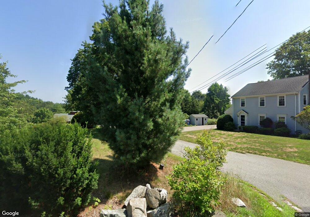
200 Newton St Weston, MA 02493
Estimated Value: $1,716,000 - $2,049,000
3
Beds
3
Baths
2,683
Sq Ft
$718/Sq Ft
Est. Value
About This Home
This home is located at 200 Newton St, Weston, MA 02493 and is currently estimated at $1,926,410, approximately $718 per square foot. 200 Newton St is a home located in Middlesex County with nearby schools including Country Elementary School, Woodland Elementary School, and Weston Middle School.
Ownership History
Date
Name
Owned For
Owner Type
Purchase Details
Closed on
Jan 28, 2019
Sold by
Keating Peter
Bought by
Keating Alix M
Current Estimated Value
Home Financials for this Owner
Home Financials are based on the most recent Mortgage that was taken out on this home.
Original Mortgage
$480,000
Outstanding Balance
$420,304
Interest Rate
4.5%
Mortgage Type
New Conventional
Estimated Equity
$1,506,106
Purchase Details
Closed on
Nov 4, 2003
Sold by
Flynn Diane R and Flynn Edward K
Bought by
Keating Alix M and Keating Peter
Home Financials for this Owner
Home Financials are based on the most recent Mortgage that was taken out on this home.
Original Mortgage
$660,000
Interest Rate
6.05%
Mortgage Type
Purchase Money Mortgage
Purchase Details
Closed on
Feb 16, 1988
Sold by
Schriner James T
Bought by
Flynn Edward K
Create a Home Valuation Report for This Property
The Home Valuation Report is an in-depth analysis detailing your home's value as well as a comparison with similar homes in the area
Home Values in the Area
Average Home Value in this Area
Purchase History
| Date | Buyer | Sale Price | Title Company |
|---|---|---|---|
| Keating Alix M | -- | -- | |
| Keating Alix M | $880,000 | -- | |
| Keating Alix M | $880,000 | -- | |
| Flynn Edward K | $336,600 | -- |
Source: Public Records
Mortgage History
| Date | Status | Borrower | Loan Amount |
|---|---|---|---|
| Open | Keating Alix M | $480,000 | |
| Previous Owner | Flynn Edward K | $523,750 | |
| Previous Owner | Keating Alix M | $660,000 | |
| Previous Owner | Flynn Edward K | $257,000 |
Source: Public Records
Tax History Compared to Growth
Tax History
| Year | Tax Paid | Tax Assessment Tax Assessment Total Assessment is a certain percentage of the fair market value that is determined by local assessors to be the total taxable value of land and additions on the property. | Land | Improvement |
|---|---|---|---|---|
| 2025 | $17,602 | $1,585,800 | $836,000 | $749,800 |
| 2024 | $17,264 | $1,552,500 | $836,000 | $716,500 |
| 2023 | $17,282 | $1,459,600 | $836,000 | $623,600 |
| 2022 | $17,081 | $1,333,400 | $801,300 | $532,100 |
| 2021 | $16,444 | $1,266,900 | $759,900 | $507,000 |
| 2020 | $15,872 | $1,237,100 | $759,900 | $477,200 |
| 2019 | $14,803 | $1,175,800 | $703,600 | $472,200 |
| 2018 | $15,025 | $1,201,000 | $703,600 | $497,400 |
| 2017 | $14,892 | $1,201,000 | $703,600 | $497,400 |
| 2016 | $14,604 | $1,201,000 | $703,600 | $497,400 |
| 2015 | $13,674 | $1,113,500 | $582,700 | $530,800 |
Source: Public Records
Map
Nearby Homes
- 226 Ash St
- 154 Newton St
- 9 Atlas Ln
- 180 Ash St
- 60 Possum Rd
- 3 Idlewile Ln
- 4 Willow Rd
- 60 Rolling Ln
- 49 Newton St
- 51 Church St
- 2 Candleberry Ln
- 217 Summer St
- 0 Wellesley St
- 103 Loring Rd
- 8 Jericho Rd Unit 8
- 24 Jericho Rd Unit 24
- 23 Pine Summit Cir Unit 23
- 120 Church St
- 52 Jericho Rd Unit 52
- 1 Pine Summit Cir