200 Old Reesedale Rd Adrian, PA 16210
Estimated Value: $257,507
4
Beds
2
Baths
1,456
Sq Ft
$177/Sq Ft
Est. Value
About This Home
This home is located at 200 Old Reesedale Rd, Adrian, PA 16210 and is currently estimated at $257,507, approximately $176 per square foot. 200 Old Reesedale Rd is a home with nearby schools including West Hills Intermediate School and West Hills Primary School.
Ownership History
Date
Name
Owned For
Owner Type
Purchase Details
Closed on
Jun 1, 2021
Sold by
Rodgers Debra J and Rodgers Roy
Bought by
Meneely Michael R and Meneely Jana M
Current Estimated Value
Home Financials for this Owner
Home Financials are based on the most recent Mortgage that was taken out on this home.
Original Mortgage
$190,000
Outstanding Balance
$172,021
Interest Rate
2.9%
Mortgage Type
New Conventional
Estimated Equity
$85,486
Purchase Details
Closed on
Oct 7, 2013
Sold by
Freeman Eleanor J and Last Will And Testament Of Eme
Bought by
Toy Diana J and Rodgers Debra J
Purchase Details
Closed on
Dec 6, 2011
Sold by
Freeman Emery B and Freeman Eleanor J
Bought by
Buffalo Valley Ltd
Create a Home Valuation Report for This Property
The Home Valuation Report is an in-depth analysis detailing your home's value as well as a comparison with similar homes in the area
Home Values in the Area
Average Home Value in this Area
Purchase History
| Date | Buyer | Sale Price | Title Company |
|---|---|---|---|
| Meneely Michael R | $200,000 | None Available | |
| Toy Diana J | -- | None Available | |
| Buffalo Valley Ltd | $105,300 | None Available |
Source: Public Records
Mortgage History
| Date | Status | Borrower | Loan Amount |
|---|---|---|---|
| Open | Meneely Michael R | $190,000 |
Source: Public Records
Tax History
| Year | Tax Paid | Tax Assessment Tax Assessment Total Assessment is a certain percentage of the fair market value that is determined by local assessors to be the total taxable value of land and additions on the property. | Land | Improvement |
|---|---|---|---|---|
| 2025 | $9,614 | $111,850 | $69,410 | $42,440 |
| 2024 | $9,054 | $111,850 | $69,410 | $42,440 |
| 2023 | $4,425 | $111,850 | $69,410 | $42,440 |
| 2022 | $4,425 | $111,850 | $69,410 | $42,440 |
| 2021 | $4,580 | $114,190 | $71,750 | $42,440 |
| 2020 | $8,569 | $118,890 | $74,100 | $44,790 |
| 2019 | $8,569 | $118,890 | $74,100 | $44,790 |
| 2018 | $8,558 | $105,850 | $41,865 | $63,985 |
| 2017 | $8,494 | $118,890 | $74,100 | $44,790 |
| 2016 | $8,623 | $121,130 | $75,220 | $45,910 |
| 2015 | $7,683 | $121,130 | $75,220 | $45,910 |
| 2014 | $7,683 | $121,130 | $75,220 | $45,910 |
Source: Public Records
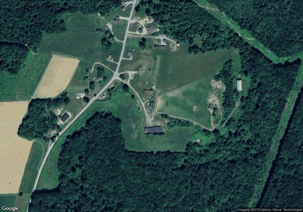
Map
Nearby Homes
- 612 State Route 1031
- 231 Stone Ave
- 0 Silver Rock Rd
- 714 Stewartson Rd
- 712 Stewartson Rd
- 455 Adrian Sherrett Rd
- Spot Rd
- 348 Hollow Rd
- 1405 Madison Rd
- 1028 State Route 268
- 1594 Johnston Ave
- 865 E Brady Rd
- 269 Boltz Rd
- 487 E Brady Rd
- 1411 Orr Ave Unit 1413
- 1408 Orr Ave
- 1402 N Grant Ave
- 223 Cedar Dr
- 302 Neubert St
- 336 Walkchalk Rd
- 206 Old Reesedale Rd
- 210 Old Reesedale Rd
- 220 Old Reesedale Rd
- 199 Old Reesedale Rd
- 219 Old Reesedale Rd
- 183 Old Reesedale Rd
- 225 Old Reesedale Rd
- 232 Old Reesedale Rd
- 161 Old Reesedale Rd
- 237 Old Reesedale Rd
- 241 Old Reesedale Rd
- 105 Spring Run Rd
- 247 Old Reesedale Rd
- 248 Old Reesedale Rd
- 255 Old Reesedale Rd
- 259 Old Reesedale Rd
- 139 Spring Run Rd
- 153 Spring Run Rd
- 1244 Reesedale Rd
- 486 Johns Rd
Your Personal Tour Guide
Ask me questions while you tour the home.