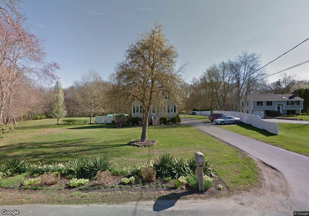
200 Plain St Taunton, MA 02780
Weir Village NeighborhoodEstimated Value: $408,000 - $468,000
3
Beds
1
Bath
975
Sq Ft
$448/Sq Ft
Est. Value
About This Home
This home is located at 200 Plain St, Taunton, MA 02780 and is currently estimated at $437,173, approximately $448 per square foot. 200 Plain St is a home located in Bristol County with nearby schools including East Taunton Elementary School, Taunton High School, and Joseph H. Martin.
Ownership History
Date
Name
Owned For
Owner Type
Purchase Details
Closed on
Feb 18, 1994
Sold by
Caron Audrey A
Bought by
Foster Edward P and Foster Catherine M
Current Estimated Value
Home Financials for this Owner
Home Financials are based on the most recent Mortgage that was taken out on this home.
Original Mortgage
$70,000
Interest Rate
7.18%
Mortgage Type
Purchase Money Mortgage
Create a Home Valuation Report for This Property
The Home Valuation Report is an in-depth analysis detailing your home's value as well as a comparison with similar homes in the area
Home Values in the Area
Average Home Value in this Area
Purchase History
| Date | Buyer | Sale Price | Title Company |
|---|---|---|---|
| Foster Edward P | $87,000 | -- |
Source: Public Records
Mortgage History
| Date | Status | Borrower | Loan Amount |
|---|---|---|---|
| Closed | Foster Edward P | $70,000 | |
| Previous Owner | Foster Edward P | $127,500 |
Source: Public Records
Tax History Compared to Growth
Tax History
| Year | Tax Paid | Tax Assessment Tax Assessment Total Assessment is a certain percentage of the fair market value that is determined by local assessors to be the total taxable value of land and additions on the property. | Land | Improvement |
|---|---|---|---|---|
| 2025 | $3,939 | $360,100 | $132,500 | $227,600 |
| 2024 | $3,566 | $318,700 | $132,500 | $186,200 |
| 2023 | $3,555 | $295,000 | $132,500 | $162,500 |
| 2022 | $3,374 | $256,000 | $110,500 | $145,500 |
| 2021 | $3,253 | $229,100 | $100,500 | $128,600 |
| 2020 | $3,170 | $213,300 | $100,500 | $112,800 |
| 2019 | $3,174 | $201,400 | $105,500 | $95,900 |
| 2018 | $3,108 | $197,700 | $106,500 | $91,200 |
| 2017 | $2,939 | $187,100 | $101,500 | $85,600 |
| 2016 | $2,847 | $181,600 | $98,400 | $83,200 |
| 2015 | $2,802 | $186,700 | $98,400 | $88,300 |
| 2014 | $2,719 | $186,100 | $98,400 | $87,700 |
Source: Public Records
Map
Nearby Homes
- 800 County St Unit 3-24
- 55 Hart St
- 3 Karena Dr Unit 4-5
- 8 Herbert St
- 11 Talbot Ave
- 244 Pratt St Unit A
- 1 Faria Farm Rd
- 507 County St Unit 507
- 12 Beacon St
- 170 Hart St Unit B
- 59 Linden St Unit 308
- 600
- 600 County St Lot A
- 600 County St
- 15 Holly Ln
- 13 Plain St
- 1301 Carriage Ln Unit 1301
- 168 Hart St Unit 22
- 513 Berkley St
- 23 Johnson St Unit A