200 Plowline Ridge Unit 1 Canton, GA 30114
Estimated Value: $737,556 - $835,000
4
Beds
4
Baths
3,360
Sq Ft
$235/Sq Ft
Est. Value
About This Home
This home is located at 200 Plowline Ridge Unit 1, Canton, GA 30114 and is currently estimated at $789,139, approximately $234 per square foot. 200 Plowline Ridge Unit 1 is a home located in Cherokee County with nearby schools including J. Knox Elementary School, Teasley Middle School, and Cherokee High School.
Ownership History
Date
Name
Owned For
Owner Type
Purchase Details
Closed on
Feb 19, 2003
Sold by
Sutallee Dev Inc
Bought by
Mendoza David and Mendoza Joy
Current Estimated Value
Home Financials for this Owner
Home Financials are based on the most recent Mortgage that was taken out on this home.
Original Mortgage
$258,000
Outstanding Balance
$110,333
Interest Rate
5.93%
Mortgage Type
New Conventional
Estimated Equity
$678,806
Create a Home Valuation Report for This Property
The Home Valuation Report is an in-depth analysis detailing your home's value as well as a comparison with similar homes in the area
Home Values in the Area
Average Home Value in this Area
Purchase History
| Date | Buyer | Sale Price | Title Company |
|---|---|---|---|
| Mendoza David | $322,500 | -- |
Source: Public Records
Mortgage History
| Date | Status | Borrower | Loan Amount |
|---|---|---|---|
| Open | Mendoza David | $258,000 |
Source: Public Records
Tax History Compared to Growth
Tax History
| Year | Tax Paid | Tax Assessment Tax Assessment Total Assessment is a certain percentage of the fair market value that is determined by local assessors to be the total taxable value of land and additions on the property. | Land | Improvement |
|---|---|---|---|---|
| 2024 | $2,859 | $279,880 | $52,000 | $227,880 |
| 2023 | $1,967 | $252,880 | $31,400 | $221,480 |
| 2022 | $1,871 | $211,600 | $31,400 | $180,200 |
| 2021 | $1,422 | $177,120 | $31,400 | $145,720 |
| 2020 | $1,220 | $165,520 | $31,400 | $134,120 |
| 2019 | $1,169 | $151,840 | $31,400 | $120,440 |
| 2018 | $1,144 | $139,800 | $31,400 | $108,400 |
| 2017 | $1,122 | $316,800 | $31,400 | $95,320 |
| 2016 | $1,140 | $305,600 | $31,400 | $90,840 |
| 2015 | $3,458 | $299,800 | $31,400 | $88,520 |
| 2014 | $3,418 | $295,800 | $31,400 | $86,920 |
Source: Public Records
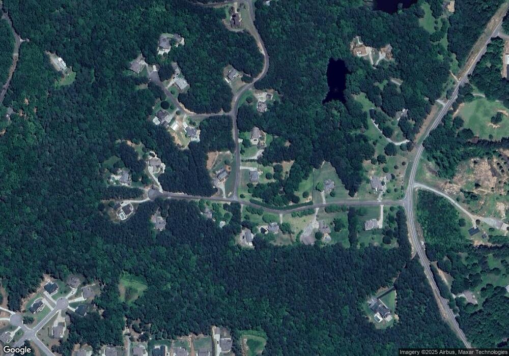
Map
Nearby Homes
- 106 Percheron Dr
- 215 Wilshire Terrace
- 151 Wilshire Dr
- 212 Wilshire Terrace
- 100 Oakwind Pkwy
- 1355 White Rd
- 2841 Upper Sweetwater Trail SE
- 466 Mount Olive Church Ln
- 426 Mount Olive Church Ln
- 460 Mount Olive Church Ln
- 1 Cason Dr
- 1997 Fincher Rd
- 933 Mount Carmel Church Ln
- 128 Brookfield Ct SE
- 427 Spring Lake Hills
- 132 Amberleigh Dr
- 202 Plowline Ridge
- 0 Percheron Dr Unit 7261419
- 0 Percheron Dr Unit 3142546
- 0 Percheron Dr Unit 8230869
- 0 Percheron Dr
- 105 Percheron Dr
- 107 Percheron Dr
- 204 Plowline Ridge
- 301 Singletree Trace
- 102 Percheron Dr Unit 1
- 103 Percheron Dr
- 0 Plowline Ridge
- 109 Percheron Dr
- 108 Percheron Dr
- 205 Plowline Ridge Unit 1
- 303 Singletree Trace
- 302 Singletree Trace
- 206 Plowline Ridge
- 101 Percheron Dr
- 110 Percheron Dr Unit 1