Estimated Value: $568,375 - $975,000
3
Beds
2
Baths
1,664
Sq Ft
$429/Sq Ft
Est. Value
About This Home
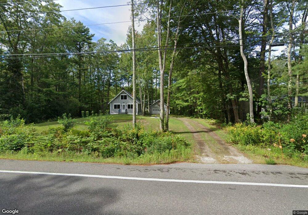
This home is located at 200 Port Rd, Wells, ME 04090 and is currently estimated at $713,344, approximately $428 per square foot. 200 Port Rd is a home located in York County with nearby schools including Wells Junior High School, Wells Elementary School, and Wells High School.
Ownership History
Date
Name
Owned For
Owner Type
Purchase Details
Closed on
Jan 16, 2007
Sold by
Walden Shirley C and Walden Larry J
Bought by
Zinetti Kenneth J
Current Estimated Value
Home Financials for this Owner
Home Financials are based on the most recent Mortgage that was taken out on this home.
Original Mortgage
$168,000
Outstanding Balance
$100,229
Interest Rate
6.18%
Mortgage Type
Unknown
Estimated Equity
$613,115
Create a Home Valuation Report for This Property
The Home Valuation Report is an in-depth analysis detailing your home's value as well as a comparison with similar homes in the area
Home Values in the Area
Average Home Value in this Area
Purchase History
| Date | Buyer | Sale Price | Title Company |
|---|---|---|---|
| Zinetti Kenneth J | -- | -- | |
| Zinetti Kenneth J | -- | -- |
Source: Public Records
Mortgage History
| Date | Status | Borrower | Loan Amount |
|---|---|---|---|
| Closed | Zinetti Kenneth J | $98,000 | |
| Open | Zinetti Kenneth J | $168,000 | |
| Closed | Zinetti Kenneth J | $168,000 |
Source: Public Records
Tax History Compared to Growth
Tax History
| Year | Tax Paid | Tax Assessment Tax Assessment Total Assessment is a certain percentage of the fair market value that is determined by local assessors to be the total taxable value of land and additions on the property. | Land | Improvement |
|---|---|---|---|---|
| 2024 | $3,060 | $503,370 | $118,500 | $384,870 |
| 2023 | $3,000 | $503,370 | $118,500 | $384,870 |
| 2022 | $2,560 | $244,750 | $56,400 | $188,350 |
| 2021 | $2,575 | $244,750 | $56,400 | $188,350 |
| 2020 | $2,565 | $244,750 | $56,400 | $188,350 |
| 2019 | $2,550 | $244,750 | $56,400 | $188,350 |
| 2018 | $2,526 | $244,750 | $56,400 | $188,350 |
| 2017 | $1,778 | $175,000 | $56,400 | $118,600 |
| 2016 | $2,041 | $175,000 | $56,400 | $118,600 |
| 2015 | $1,741 | $175,000 | $56,400 | $118,600 |
| 2013 | $1,596 | $175,000 | $56,400 | $118,600 |
Source: Public Records
Map
Nearby Homes
- 238 Laudholm Farm Rd
- 53 Hidden Brook Dr Unit 13
- 15 Heritage Dr Unit 15
- 50 Coles Hill Rd
- 66 Nicholas Dr
- 2090 Post Rd Unit 4B
- 2073 Post Rd Unit 5
- 102 Heron Landing Dr Unit 22
- 163 Island Beach Rd
- 1830 Post Rd
- 40 Shorebreezes Ln Unit 40
- 557 Coles Hill Rd
- 43 Sylvan Way Unit 10
- 1801 Post Rd Unit 174
- 1801 Post Rd Unit 190
- 1801 Post Rd Unit 180
- 161 Brown St
- 1762 Post Rd Unit 209
- 35 Burnt Mill Rd Unit B
- 4 Cider Mill Ln
- 208 Port Rd
- 75 Forest Ln
- 180 Port Rd
- 78 Forest Ln
- 160 Riverbend Rd
- 198 Skinner Mill Rd
- 227 Port Rd
- 186 Skinner Mill Rd
- 19 Country Ln
- 44 Forest Ln
- 59 Forest Ln
- 232 Port Rd
- 222 Port Rd
- 130 Riverbend Rd
- 173 Riverbend Rd
- 195 Skinner Mill Rd
- 36 Forest Ln
- 235 Skinner Mill Rd
- 217 Skinner Mill Rd
- 10 Parson Dr