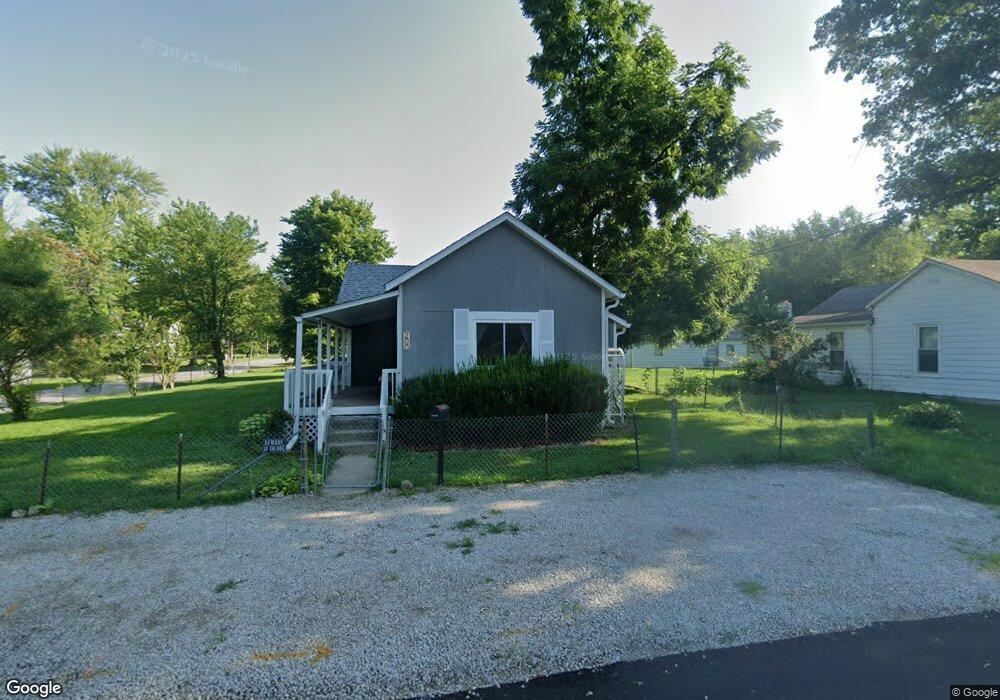
200 Pratt St Franklin, IN 46131
Estimated Value: $170,000 - $200,000
3
Beds
1
Bath
1,271
Sq Ft
$143/Sq Ft
Est. Value
About This Home
This home is located at 200 Pratt St, Franklin, IN 46131 and is currently estimated at $181,142, approximately $142 per square foot. 200 Pratt St is a home located in Johnson County with nearby schools including Northwood Elementary School, Franklin Community Middle School, and Custer Baker Intermediate School.
Ownership History
Date
Name
Owned For
Owner Type
Purchase Details
Closed on
Nov 21, 2023
Sold by
Ralph Altha Robert and Ralph Brenda S
Bought by
Altha Robert Ii And Brenda S Ralph Trust and Ralph
Current Estimated Value
Purchase Details
Closed on
May 22, 2018
Sold by
Ralph Brenda
Bought by
Ralph Ii Altha Robert and Ralph Brenda S
Purchase Details
Closed on
Apr 6, 2018
Sold by
Midfirst Bank
Bought by
Ralph Brenda
Purchase Details
Closed on
Sep 21, 2017
Sold by
Johnson County Sheriff
Bought by
Midfirst Bank
Create a Home Valuation Report for This Property
The Home Valuation Report is an in-depth analysis detailing your home's value as well as a comparison with similar homes in the area
Home Values in the Area
Average Home Value in this Area
Purchase History
| Date | Buyer | Sale Price | Title Company |
|---|---|---|---|
| Altha Robert Ii And Brenda S Ralph Trust | -- | None Listed On Document | |
| Ralph Ii Altha Robert | -- | None Available | |
| Ralph Brenda | $46,500 | None Available | |
| Midfirst Bank | $46,500 | -- |
Source: Public Records
Tax History
| Year | Tax Paid | Tax Assessment Tax Assessment Total Assessment is a certain percentage of the fair market value that is determined by local assessors to be the total taxable value of land and additions on the property. | Land | Improvement |
|---|---|---|---|---|
| 2025 | $2,884 | $153,900 | $17,300 | $136,600 |
| 2024 | $2,884 | $130,200 | $17,300 | $112,900 |
| 2023 | $2,572 | $115,400 | $17,300 | $98,100 |
| 2022 | $2,227 | $99,600 | $17,300 | $82,300 |
| 2021 | $1,879 | $84,000 | $14,000 | $70,000 |
| 2020 | $1,948 | $87,100 | $14,000 | $73,100 |
| 2019 | $1,863 | $82,400 | $14,000 | $68,400 |
| 2018 | $1,683 | $82,900 | $14,500 | $68,400 |
| 2017 | $1,402 | $68,900 | $14,500 | $54,400 |
| 2016 | $100 | $69,100 | $14,500 | $54,600 |
| 2014 | $90 | $70,500 | $16,300 | $54,200 |
| 2013 | $90 | $65,500 | $16,300 | $49,200 |
Source: Public Records
Map
Nearby Homes
- 698 Yandes St
- 601 Duane St
- 750 Hurricane St
- 598 Kentucky St
- 159 E King St
- 0 W 900 Hwy Unit 202537998
- 198 W King St
- 227 E Jefferson St
- 690 E Jefferson St
- 1149 Heritage Trail
- 1110 Hillview Dr
- 21 14th St
- 178 S Water St Unit F
- 76 E Wayne St Unit B
- 1102 E Jefferson St
- 1240 Hillview Dr
- 41 Middleton Dr
- 1860 Churchill Rd
- 1111 Maclaren Ct
- 2139 Bridlewood Dr
Your Personal Tour Guide
Ask me questions while you tour the home.