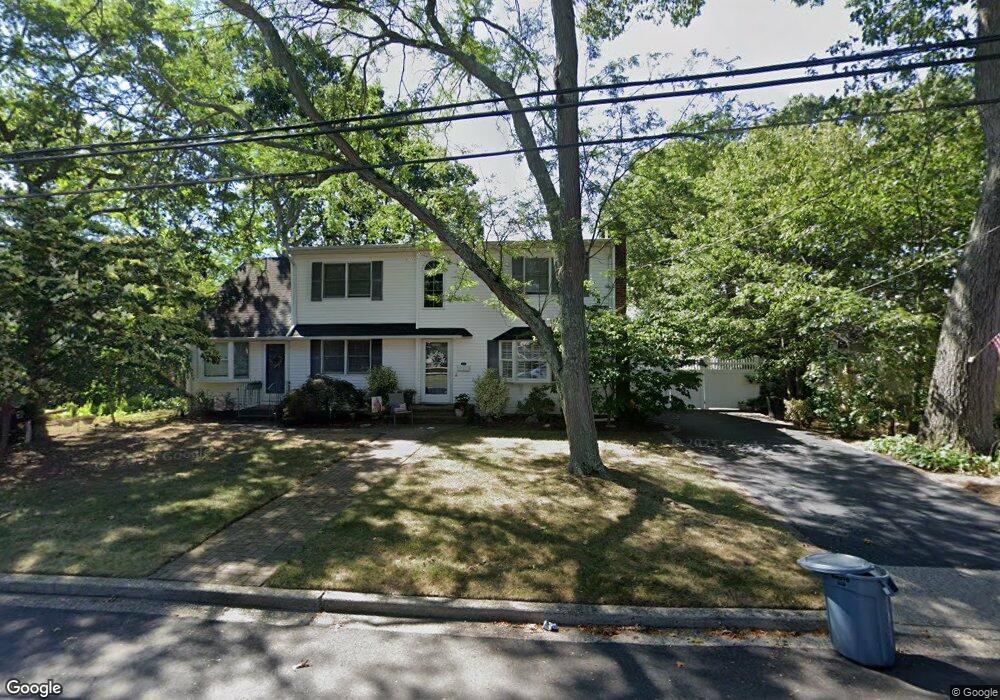
200 Rhode Island Ave Massapequa, NY 11758
Estimated Value: $823,000 - $833,172
--
Bed
2
Baths
2,142
Sq Ft
$387/Sq Ft
Est. Value
About This Home
This home is located at 200 Rhode Island Ave, Massapequa, NY 11758 and is currently estimated at $828,086, approximately $386 per square foot. 200 Rhode Island Ave is a home located in Nassau County with nearby schools including Massapequa High School - Ames Campus, Berner Middle School, and Massapequa High School.
Ownership History
Date
Name
Owned For
Owner Type
Purchase Details
Closed on
Oct 2, 2024
Sold by
Sandler Barbara A
Bought by
Sandler Richard and The Barbara A Sandler Family Trust
Current Estimated Value
Purchase Details
Closed on
May 17, 2017
Sold by
Sandler Richard and Sandler Gregg
Bought by
Sandler Daniel S and Sandler Barbara A
Purchase Details
Closed on
Jul 10, 2015
Sold by
Sandler Daniel S and Sandler Barbara A
Bought by
Sandler Richard
Create a Home Valuation Report for This Property
The Home Valuation Report is an in-depth analysis detailing your home's value as well as a comparison with similar homes in the area
Home Values in the Area
Average Home Value in this Area
Purchase History
| Date | Buyer | Sale Price | Title Company |
|---|---|---|---|
| Sandler Richard | -- | None Available | |
| Sandler Richard | -- | None Available | |
| Sandler Daniel S | -- | None Available | |
| Sandler Daniel S | -- | None Available | |
| Sandler Daniel S | -- | None Available | |
| Sandler Richard | -- | Attorney | |
| Sandler Richard | -- | Attorney | |
| Sandler Richard | -- | Attorney |
Source: Public Records
Tax History Compared to Growth
Tax History
| Year | Tax Paid | Tax Assessment Tax Assessment Total Assessment is a certain percentage of the fair market value that is determined by local assessors to be the total taxable value of land and additions on the property. | Land | Improvement |
|---|---|---|---|---|
| 2025 | $11,661 | $539 | $213 | $326 |
| 2024 | $4,279 | $546 | $216 | $330 |
| 2023 | $11,489 | $567 | $224 | $343 |
| 2022 | $11,489 | $567 | $224 | $343 |
| 2021 | $11,166 | $537 | $212 | $325 |
| 2020 | $10,187 | $814 | $531 | $283 |
| 2019 | $10,855 | $1,042 | $680 | $362 |
| 2018 | $13,511 | $1,042 | $0 | $0 |
| 2017 | $7,203 | $1,042 | $680 | $362 |
| 2016 | $11,913 | $1,042 | $680 | $362 |
| 2015 | $4,028 | $1,042 | $680 | $362 |
| 2014 | $4,028 | $1,042 | $680 | $362 |
| 2013 | $3,861 | $1,042 | $680 | $362 |
Source: Public Records
Map
Nearby Homes
- 227 Toronto Ave
- 262 New Hampshire Ave
- 203 N Manhattan Ave
- 714 Franklin Ave
- 136 Euclid Ave
- 128 Massachusetts Ave
- 126 Commonwealth Ave
- 254 N Richmond Ave
- 1130 Lakeshore Dr
- 121 Ontario Ave
- 174 N Nassau Ave
- 72 Koehl St
- 102 Boston Ave
- 101 Toronto Ave
- 73 Massachusetts Ave
- 95 Clark Ave
- 168 von Huenfeld St
- 104 Clark Ave
- 170 Lindbergh St
- 70 Pittsburgh Ave
- 204 Rhode Island Ave
- 196 Rhode Island Ave
- 201 Commonwealth Ave
- 205 Commonwealth Ave
- 197 Commonwealth Ave
- 207 Rhode Island Ave
- 208 Rhode Island Ave
- 207 Commonwealth Ave
- 203 Rhode Island Ave
- 193 Commonwealth Ave
- 192 Rhode Island Ave
- 1 Bell Place
- 199 Rhode Island Ave
- 211 Commonwealth Ave
- 212 Rhode Island Ave
- 206 New Hampshire Ave
- 196 Commonwealth Ave
- 5 Bell Place
- 200 Commonwealth Ave
- 202 New Hampshire Ave