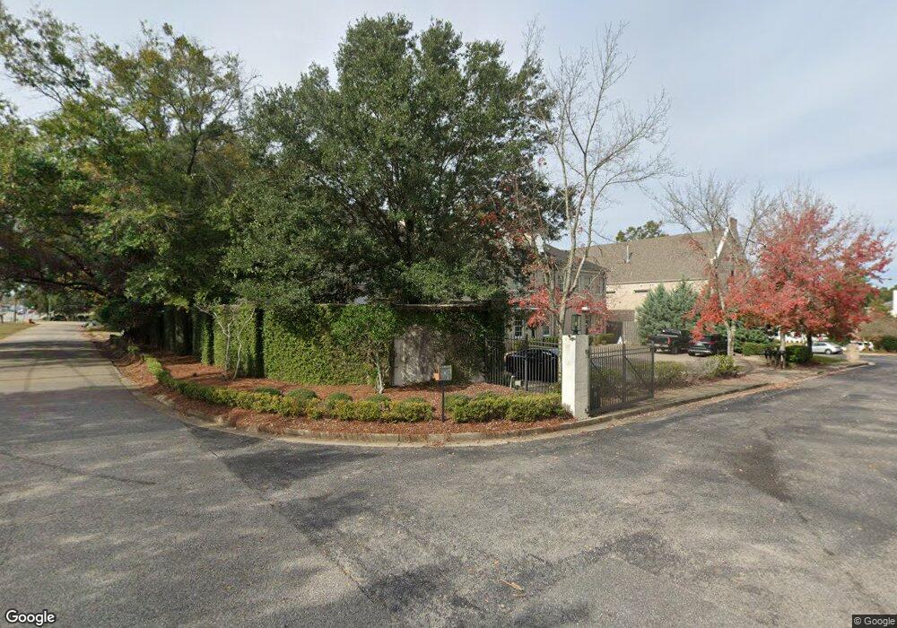
200 Rochester Place Unit D Mobile, AL 36608
Country Club NeighborhoodEstimated Value: $427,327 - $718,000
4
Beds
4
Baths
3,100
Sq Ft
$168/Sq Ft
Est. Value
About This Home
This home is located at 200 Rochester Place Unit D, Mobile, AL 36608 and is currently estimated at $519,832, approximately $167 per square foot. 200 Rochester Place Unit D is a home located in Mobile County with nearby schools including ER Dickson Elementary School, CL Scarborough Middle School, and Murphy High School.
Ownership History
Date
Name
Owned For
Owner Type
Purchase Details
Closed on
Jan 25, 2021
Sold by
Bose William J
Bought by
Collins Michael and Woodford Kelly
Current Estimated Value
Home Financials for this Owner
Home Financials are based on the most recent Mortgage that was taken out on this home.
Original Mortgage
$301,500
Outstanding Balance
$267,659
Interest Rate
2.67%
Mortgage Type
New Conventional
Estimated Equity
$252,173
Purchase Details
Closed on
Nov 20, 2015
Sold by
Trustmark National Bank
Bought by
Quackenbush Family Partnership Ltd
Create a Home Valuation Report for This Property
The Home Valuation Report is an in-depth analysis detailing your home's value as well as a comparison with similar homes in the area
Home Values in the Area
Average Home Value in this Area
Purchase History
| Date | Buyer | Sale Price | Title Company |
|---|---|---|---|
| Collins Michael | $335,000 | None Available | |
| Quackenbush Family Partnership Ltd | $208,500 | None Available |
Source: Public Records
Mortgage History
| Date | Status | Borrower | Loan Amount |
|---|---|---|---|
| Open | Collins Michael | $301,500 |
Source: Public Records
Tax History Compared to Growth
Tax History
| Year | Tax Paid | Tax Assessment Tax Assessment Total Assessment is a certain percentage of the fair market value that is determined by local assessors to be the total taxable value of land and additions on the property. | Land | Improvement |
|---|---|---|---|---|
| 2025 | $2,896 | $54,210 | $5,000 | $49,210 |
| 2024 | $2,896 | $55,320 | $5,000 | $50,320 |
| 2023 | $2,896 | $40,900 | $5,000 | $35,900 |
| 2022 | $2,100 | $41,290 | $5,000 | $36,290 |
| 2021 | $1,743 | $41,680 | $5,000 | $36,680 |
| 2020 | $1,743 | $42,070 | $5,000 | $37,070 |
| 2019 | $1,743 | $28,500 | $0 | $0 |
| 2018 | $3,620 | $57,000 | $0 | $0 |
| 2017 | $3,620 | $57,000 | $0 | $0 |
| 2016 | $4,610 | $72,600 | $0 | $0 |
| 2013 | $4,610 | $72,600 | $0 | $0 |
Source: Public Records
Map
Nearby Homes
- 4457 Suzanne Cir
- 0 Suzanne Cir
- 276 Dogwood Dr
- 304 Dogwood Dr
- 4602 Sunset Dr N
- 309 Byron Ave W
- 213 Lakewood Dr W
- 0 Winnie Way
- 236 Lakewood Dr E
- 0 Bellevue Ln
- 4613 Channing Ct Unit 1
- 4613 Channing Ct
- 4700 Bit & Spur Rd
- 4700 Bit And Spur Rd
- 308 Mcqueen Ave
- 283 Jackson Blvd
- 712 Spring Station Rd
- 728 Spring Station Rd
- 4317 Packingham Dr
- 4309 Packingham Dr
- 200 Rochester Place
- 200 Rochester Place Unit E
- 200 Rochester Place Unit A
- 200 Rochester Place Unit C
- 200 Rochester Place Unit B
- 194 Rochester Place Unit 11
- 194 Rochester Place Unit B
- 194 Rochester Place
- 4592 Airport Blvd
- 0 Rochester Place Unit 303942
- 0 Rochester Place
- 197 Rochester Place Unit I
- 197 Rochester Place Unit J
- 197 Rochester Place
- 188 Rochester Place
- 193 Rochester Place Unit 4
- 193 Rochester Place
- 4594 Airport Blvd
- 209 April St
- 181 Rochester Place Unit 9