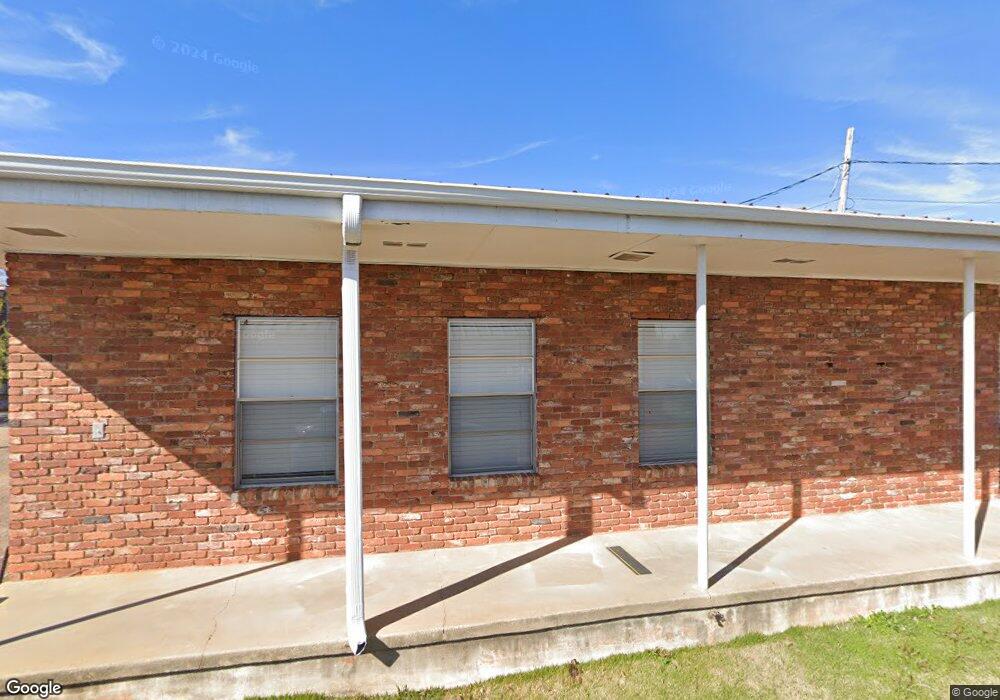
200 S Lewis St Lagrange, GA 30240
Estimated Value: $230,734
--
Bed
1
Bath
1,382
Sq Ft
$167/Sq Ft
Est. Value
About This Home
This home is located at 200 S Lewis St, Lagrange, GA 30240 and is currently estimated at $230,734, approximately $166 per square foot. 200 S Lewis St is a home located in Troup County with nearby schools including Hollis Hand Elementary School, Ethel W. Kight Elementary School, and Franklin Forest Elementary School.
Ownership History
Date
Name
Owned For
Owner Type
Purchase Details
Closed on
Mar 3, 2025
Sold by
Troup Baptist Association Inc
Bought by
Gari & Gari Realty Llc
Current Estimated Value
Home Financials for this Owner
Home Financials are based on the most recent Mortgage that was taken out on this home.
Original Mortgage
$215,000
Outstanding Balance
$209,799
Interest Rate
6.12%
Mortgage Type
New Conventional
Estimated Equity
$20,935
Purchase Details
Closed on
Jan 28, 1982
Sold by
Jones Dr E E
Bought by
Baptist Assoc Troup Co
Purchase Details
Closed on
Jan 1, 1955
Sold by
Callaway Harry W
Bought by
Jones Dr E E
Create a Home Valuation Report for This Property
The Home Valuation Report is an in-depth analysis detailing your home's value as well as a comparison with similar homes in the area
Home Values in the Area
Average Home Value in this Area
Purchase History
| Date | Buyer | Sale Price | Title Company |
|---|---|---|---|
| Gari & Gari Realty Llc | $225,000 | -- | |
| Baptist Assoc Troup Co | $55,000 | -- | |
| Jones Dr E E | -- | -- |
Source: Public Records
Mortgage History
| Date | Status | Borrower | Loan Amount |
|---|---|---|---|
| Open | Gari & Gari Realty Llc | $215,000 |
Source: Public Records
Tax History Compared to Growth
Tax History
| Year | Tax Paid | Tax Assessment Tax Assessment Total Assessment is a certain percentage of the fair market value that is determined by local assessors to be the total taxable value of land and additions on the property. | Land | Improvement |
|---|---|---|---|---|
| 2024 | $2,157 | $79,080 | $18,720 | $60,360 |
| 2023 | $2,076 | $76,120 | $18,720 | $57,400 |
| 2022 | $2,125 | $76,120 | $18,720 | $57,400 |
| 2021 | $1,805 | $59,840 | $18,720 | $41,120 |
| 2020 | $1,534 | $59,840 | $18,720 | $41,120 |
| 2019 | $1,709 | $56,680 | $18,720 | $37,960 |
| 2018 | $1,709 | $56,680 | $18,720 | $37,960 |
| 2017 | $1,709 | $56,680 | $18,720 | $37,960 |
| 2016 | $1,723 | $57,118 | $30,000 | $27,118 |
| 2015 | -- | $50,818 | $23,700 | $27,118 |
| 2014 | -- | $34,040 | $23,700 | $10,340 |
| 2013 | -- | $34,040 | $23,700 | $10,340 |
Source: Public Records
Map
Nearby Homes
- 204 S Lewis St
- 300 W Broome St Unit STE. 200
- 300 W Broome St Unit SUITE 106
- 300 W Broome St Unit SUITE 102
- 300 W Broome St Unit Suite 203 West
- 211 Vernon St
- 208 W Broome St
- 210 W Broome St
- 205 Broad St
- 115 Broad St
- 305 Ashton St
- 109 Vernon St
- 206 W Broome St
- 301 W Broome St Unit 206
- 301 W Broome St Unit 205
- 301 W Broome St Unit 209,211,213
- 301 W Broome St
- 301 W Broome St Unit SUITE108
- 301 W Broome St Unit SUITE110
- 301 W Broome St Unit SUITE111